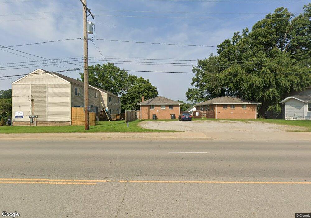
222 Darrow Rd Unit 224 Akron, OH 44305
Goodyear Heights NeighborhoodEstimated Value: $131,000 - $172,000
4
Beds
2
Baths
1,431
Sq Ft
$106/Sq Ft
Est. Value
About This Home
This home is located at 222 Darrow Rd Unit 224, Akron, OH 44305 and is currently estimated at $151,614, approximately $105 per square foot. 222 Darrow Rd Unit 224 is a home located in Summit County with nearby schools including Ellet High School, Summit Academy Akron Elementary School, and Middlebury Academy.
Ownership History
Date
Name
Owned For
Owner Type
Purchase Details
Closed on
Mar 30, 2021
Sold by
Scenic Way Properties Llc
Bought by
Serian Joseph L and Serian Sarah Ann
Current Estimated Value
Home Financials for this Owner
Home Financials are based on the most recent Mortgage that was taken out on this home.
Original Mortgage
$79,591
Outstanding Balance
$71,628
Interest Rate
2.8%
Mortgage Type
New Conventional
Estimated Equity
$79,986
Purchase Details
Closed on
Mar 29, 2021
Sold by
Scenic Way Properties Llc
Bought by
Serian Joseph L and Serian Sarah Ann
Home Financials for this Owner
Home Financials are based on the most recent Mortgage that was taken out on this home.
Original Mortgage
$79,591
Outstanding Balance
$71,628
Interest Rate
2.8%
Mortgage Type
New Conventional
Estimated Equity
$79,986
Purchase Details
Closed on
Dec 14, 2010
Sold by
Azar Margaret
Bought by
Azar Kenneth J and Kenneth J Azar Revocable Trust
Create a Home Valuation Report for This Property
The Home Valuation Report is an in-depth analysis detailing your home's value as well as a comparison with similar homes in the area
Home Values in the Area
Average Home Value in this Area
Purchase History
| Date | Buyer | Sale Price | Title Company |
|---|---|---|---|
| Serian Joseph L | $106,200 | Chicago Title | |
| Serian Joseph L | $106,200 | Chicago Title Insurance Co | |
| Azar Kenneth J | $245,000 | Wigley Title Agency Inc |
Source: Public Records
Mortgage History
| Date | Status | Borrower | Loan Amount |
|---|---|---|---|
| Open | Serian Joseph L | $79,591 | |
| Closed | Serian Joseph L | $79,591 |
Source: Public Records
Tax History Compared to Growth
Tax History
| Year | Tax Paid | Tax Assessment Tax Assessment Total Assessment is a certain percentage of the fair market value that is determined by local assessors to be the total taxable value of land and additions on the property. | Land | Improvement |
|---|---|---|---|---|
| 2025 | $2,500 | $45,567 | $9,653 | $35,914 |
| 2024 | $2,500 | $45,567 | $9,653 | $35,914 |
| 2023 | $2,500 | $45,567 | $9,653 | $35,914 |
| 2022 | $2,071 | $29,397 | $6,227 | $23,170 |
| 2021 | $2,073 | $29,397 | $6,227 | $23,170 |
| 2020 | $2,043 | $29,400 | $6,230 | $23,170 |
| 2019 | $2,428 | $32,020 | $6,040 | $25,980 |
| 2018 | $2,396 | $32,020 | $6,040 | $25,980 |
| 2017 | $2,434 | $32,020 | $6,040 | $25,980 |
| 2016 | $2,436 | $32,020 | $6,040 | $25,980 |
| 2015 | $2,434 | $32,020 | $6,040 | $25,980 |
| 2014 | $2,415 | $32,020 | $6,040 | $25,980 |
| 2013 | $2,666 | $33,550 | $6,040 | $27,510 |
Source: Public Records
Map
Nearby Homes
- 2216 Eastlawn Ave
- 428 Seaman Ave
- 2161 Eastlawn Ave
- 522 Lamont St
- 2352 Newton St
- 2356 Newton St
- 2360 Newton St
- 2076 Congo St
- 382 Larkin Ave
- 2382 Mogadore Rd
- 287 E Park Blvd
- 359 Booth Ave
- 469 Lodi St
- 2258 Mogadore Rd
- 333 Cluster Ave
- 360 Cluster Ave
- 2253 Tyro Ave
- 249 Malacca St
- 505 Moody St
- 131 Emmons Ave