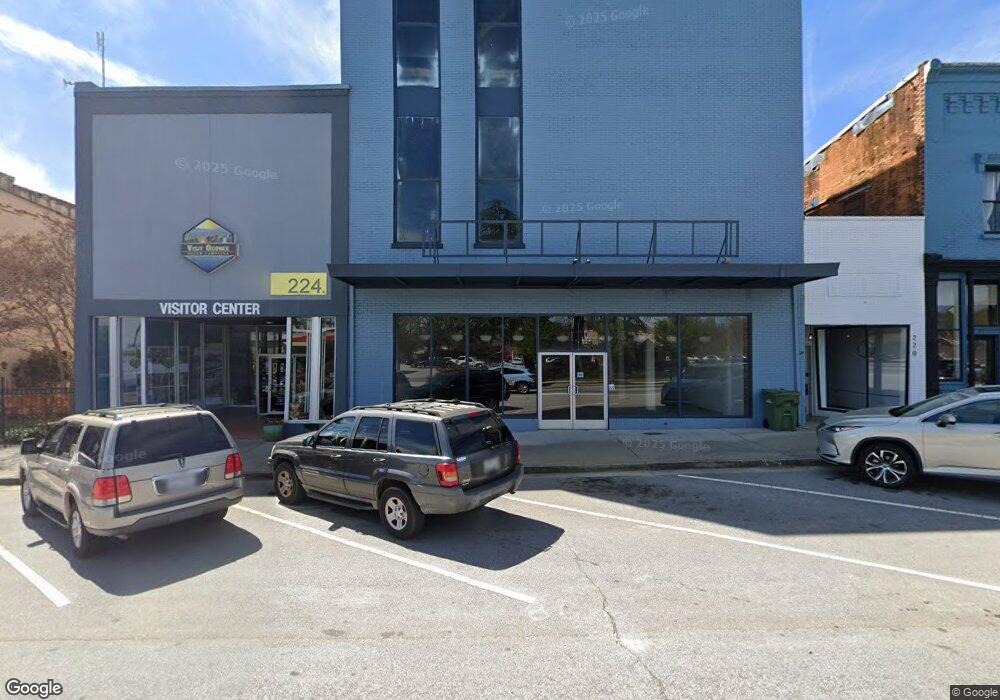
222 E Main St Walhalla, SC 29691
Estimated Value: $228,659
Studio
--
Bath
28,040
Sq Ft
$8/Sq Ft
Est. Value
About This Home
This home is located at 222 E Main St, Walhalla, SC 29691 and is currently estimated at $228,659, approximately $8 per square foot. 222 E Main St is a home located in Oconee County with nearby schools including James M. Brown Elementary School, Walhalla Middle School, and Walhalla High School.
Ownership History
Date
Name
Owned For
Owner Type
Purchase Details
Closed on
Apr 8, 2022
Sold by
Walhalla Green Llc
Bought by
222 E Main Llc
Current Estimated Value
Purchase Details
Closed on
Mar 16, 2021
Sold by
Green Jack
Bought by
Walhalla Green Llc
Purchase Details
Closed on
Feb 8, 2021
Sold by
Green Jack
Bought by
Jarhan Llc
Purchase Details
Closed on
Feb 1, 2021
Sold by
Estate Of Elinor J Brown
Bought by
Green Jack
Purchase Details
Closed on
Oct 26, 2010
Sold by
Brown Elinor J
Bought by
Henson Ronald L
Create a Home Valuation Report for This Property
The Home Valuation Report is an in-depth analysis detailing your home's value as well as a comparison with similar homes in the area
Home Values in the Area
Average Home Value in this Area
Purchase History
| Date | Buyer | Sale Price | Title Company |
|---|---|---|---|
| 222 E Main Llc | $200,000 | Bagwell & Corley Law Firm Pc | |
| Walhalla Green Llc | -- | None Available | |
| Jarhan Llc | $35,000 | None Available | |
| Green Jack | $85,000 | None Available | |
| Henson Ronald L | $20,000 | -- |
Source: Public Records
Tax History
| Year | Tax Paid | Tax Assessment Tax Assessment Total Assessment is a certain percentage of the fair market value that is determined by local assessors to be the total taxable value of land and additions on the property. | Land | Improvement |
|---|---|---|---|---|
| 2025 | $3,642 | $8,012 | $3,421 | $4,591 |
| 2024 | $3,618 | $8,012 | $3,421 | $4,591 |
| 2023 | $3,558 | $8,012 | $3,421 | $4,591 |
| 2022 | $1,594 | $3,553 | $2,533 | $1,020 |
| 2021 | $1,214 | $3,739 | $1,760 | $1,979 |
| 2020 | $1,214 | $0 | $0 | $0 |
| 2019 | $1,214 | $0 | $0 | $0 |
| 2018 | $1,183 | $0 | $0 | $0 |
| 2017 | $1,389 | $0 | $0 | $0 |
| 2016 | $1,389 | $0 | $0 | $0 |
| 2015 | -- | $0 | $0 | $0 |
| 2014 | -- | $4,694 | $1,769 | $2,925 |
| 2013 | -- | $0 | $0 | $0 |
Source: Public Records
Map
Nearby Homes
- 00 Keowee St
- 320 Jaynes St
- 807 W Main St
- 326 Kenneth St
- 00 N Church St
- 209 Moore Ave
- 318 S Pine St
- 00 Abbott Ln
- 606 W South Broad St
- 2423 Westminster Hwy
- 204 Friendship Dr
- 804 W North Broad St
- 107 S Laurel St
- 109 S Laurel St
- 147 White Oak St
- 384 E Woodland Dr
- 223 N Dogwood Dr
- 00 Fox Run Rd
- 323 Fox Run Rd
- Lot 57 Fox Run Rd
- 224 E Main St
- 210 E Main St
- 230 E Main St
- 236 Starritt Ln
- 200 E Main St
- 531 Back Tree Ln
- 535 Back Tree Ln
- 527 Back Tree Ln
- 519 Back Tree Ln
- 515 Back Tree Ln
- 523 Back Tree Ln
- 199 La Z Acres Rd
- 403 Chadwick Ln
- 300 E Main St
- 000 Highway 183
- 103 S Spring St
- 106 S Catherine St
- 221 E South Broad St
- 112 S Catherine St
- 120 E Main St
Your Personal Tour Guide
Ask me questions while you tour the home.