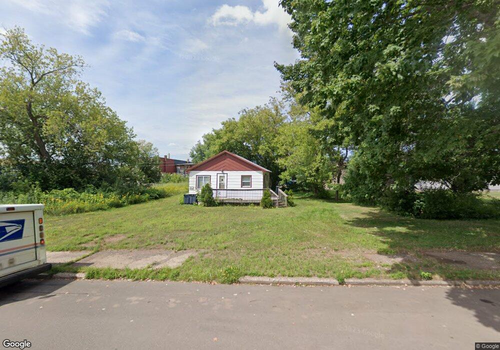
222 E Vaughn St Ironwood, MI 49938
Estimated Value: $58,080 - $106,000
--
Bed
--
Bath
637
Sq Ft
$118/Sq Ft
Est. Value
About This Home
This home is located at 222 E Vaughn St, Ironwood, MI 49938 and is currently estimated at $75,020, approximately $117 per square foot. 222 E Vaughn St is a home with nearby schools including Luther L. Wright K-12 School, All Saints Catholic Academy, and Northwoods Christian Academy.
Ownership History
Date
Name
Owned For
Owner Type
Purchase Details
Closed on
Jul 17, 2020
Sold by
Gresham Stanley W and Gresham Bette D
Bought by
Gresham Legacy Trust
Current Estimated Value
Purchase Details
Closed on
Jul 15, 2014
Sold by
Gresham Stanley W and Gresham Bette D
Bought by
The Stanley W Gresham And Bette D Gresha
Purchase Details
Closed on
Apr 27, 2006
Sold by
Giacherio Jerry J and Giacherio Mary Ann
Bought by
Gresham Stanley and Gresham Dawn
Create a Home Valuation Report for This Property
The Home Valuation Report is an in-depth analysis detailing your home's value as well as a comparison with similar homes in the area
Home Values in the Area
Average Home Value in this Area
Purchase History
| Date | Buyer | Sale Price | Title Company |
|---|---|---|---|
| Gresham Legacy Trust | -- | None Available | |
| Gresham Stanley W | -- | None Available | |
| The Stanley W Gresham And Bette D Gresha | -- | None Available | |
| Gresham Stanley | -- | Associated Title Services In |
Source: Public Records
Tax History Compared to Growth
Tax History
| Year | Tax Paid | Tax Assessment Tax Assessment Total Assessment is a certain percentage of the fair market value that is determined by local assessors to be the total taxable value of land and additions on the property. | Land | Improvement |
|---|---|---|---|---|
| 2025 | $950 | $25,022 | $25,022 | $0 |
| 2024 | $879 | $20,148 | $20,148 | $0 |
| 2023 | $900 | $16,944 | $16,944 | $0 |
| 2022 | $877 | $13,800 | $13,800 | $0 |
| 2021 | $877 | $11,748 | $11,748 | $0 |
| 2020 | -- | -- | $0 | $0 |
| 2019 | -- | -- | $0 | $0 |
| 2018 | -- | -- | $14,424 | $0 |
| 2017 | -- | -- | $0 | $0 |
| 2016 | -- | -- | $0 | $0 |
| 2014 | -- | -- | $0 | $0 |
| 2013 | -- | -- | $0 | $0 |
Source: Public Records
Map
Nearby Homes
- 213 S Mansfield St
- 235 S Curry St
- 115 E Ayer St
- 134 S Mansfield St
- 101 S Mansfield St
- 112 W Pewabic St
- 119 W Oak St
- 325 E Houk St
- 717 Pabst St
- 717 E Pabst St
- 334 W Ayer St
- 615 N Lowell St
- 209 E Harding Ave
- 235 W Birch St
- 227 W Birch St
- 338 E Tamarack St
- 400 Silver St
- 126 W Michigan Ave
- 230 W Michigan Ave
- 100 W Francis St
- 208 E Vaughn St
- 225 E Vaughn St
- 229 E Vaughn St
- 215 E Mcleod Ave Unit 6,7
- 213 E Vaughn St
- 209 E Vaughn St
- 211 E Mcleod Ave
- 207 E Vaughn St Unit 1-4
- 205 E Vaughn St
- 403 E Vaughn St
- 304 S Suffolk St
- 415 S Norfolk St
- 205 E Vaughn St
- 300 E Mcleod Ave Unit BLK 36
- 335 S Marquette St
- 410 S Norfolk St
- 331 S Marquette St
- 321 S Suffolk St
- 410 E Vaughn St
- 342 S Marquette St