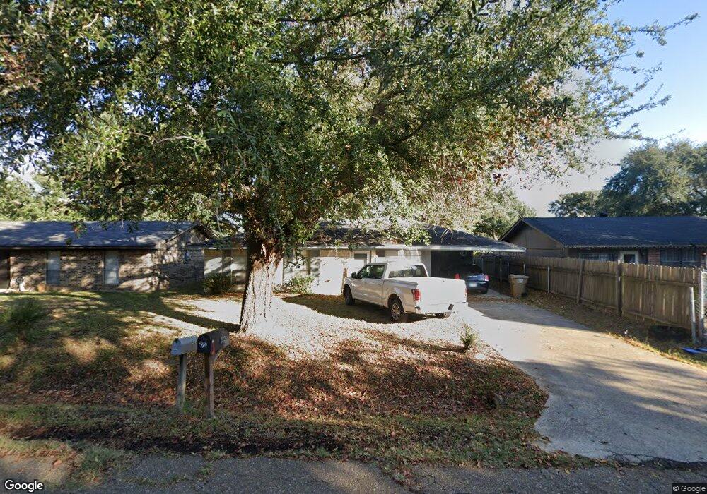
222 Eisenhower Dr Monroe, LA 71203
Estimated Value: $102,000 - $141,000
3
Beds
1
Bath
1,300
Sq Ft
$98/Sq Ft
Est. Value
About This Home
This home is located at 222 Eisenhower Dr, Monroe, LA 71203 and is currently estimated at $128,000, approximately $98 per square foot. 222 Eisenhower Dr is a home located in Ouachita Parish with nearby schools including Swartz Lower Elementary School, Swartz Upper Elementary School, and Ouachita Junior High School.
Ownership History
Date
Name
Owned For
Owner Type
Purchase Details
Closed on
Sep 19, 2005
Sold by
S & B Properties Llc
Bought by
Graves Lenard Steve
Current Estimated Value
Home Financials for this Owner
Home Financials are based on the most recent Mortgage that was taken out on this home.
Original Mortgage
$31,500
Interest Rate
5.76%
Mortgage Type
New Conventional
Create a Home Valuation Report for This Property
The Home Valuation Report is an in-depth analysis detailing your home's value as well as a comparison with similar homes in the area
Home Values in the Area
Average Home Value in this Area
Purchase History
| Date | Buyer | Sale Price | Title Company |
|---|---|---|---|
| Graves Lenard Steve | -- | None Available |
Source: Public Records
Mortgage History
| Date | Status | Borrower | Loan Amount |
|---|---|---|---|
| Closed | Graves Lenard Steve | $31,500 |
Source: Public Records
Tax History Compared to Growth
Tax History
| Year | Tax Paid | Tax Assessment Tax Assessment Total Assessment is a certain percentage of the fair market value that is determined by local assessors to be the total taxable value of land and additions on the property. | Land | Improvement |
|---|---|---|---|---|
| 2024 | $372 | $2,600 | $200 | $2,400 |
| 2023 | $372 | $2,600 | $200 | $2,400 |
| 2022 | $356 | $2,600 | $200 | $2,400 |
| 2021 | $359 | $2,600 | $200 | $2,400 |
| 2020 | $359 | $2,600 | $200 | $2,400 |
| 2019 | $354 | $2,600 | $200 | $2,400 |
| 2018 | $338 | $2,600 | $200 | $2,400 |
| 2017 | $346 | $2,600 | $200 | $2,400 |
| 2016 | $338 | $2,600 | $200 | $2,400 |
| 2015 | $338 | $2,600 | $200 | $2,400 |
| 2014 | $338 | $2,600 | $200 | $2,400 |
| 2013 | $337 | $2,600 | $200 | $2,400 |
Source: Public Records
Map
Nearby Homes
- 229 Eisenhower Dr
- 209 Harding Dr
- 306 Taylor Dr
- 1870 Highway 594
- 158 Barbara Dr
- 755 Highway 594
- 119 Daywood Dr
- 0 Braebend Dr
- 1077 Stubbs Vinson Rd
- 637 Rowland Rd
- 2210 Highway 594
- 120 Donovan Cir
- 2238 Highway 594
- 94 Nelson Rd
- 202 Daywood Dr
- 0 Rowland Rd
- 261 Henson Ln
- 371 Rowland Dr
- 204 W Nelson Rd Unit 412 Allen, 413 n 23r
- 212 Wood Dr
- 224 Eisenhower Dr
- 220 Eisenhower Dr
- 226 Eisenhower Dr
- 218 Eisenhower Dr
- 110 Carter Dr
- 112 Carter Dr
- 108 Carter Dr
- 114 Carter Dr
- 216 Eisenhower Dr
- 223 Eisenhower Dr
- 228 Eisenhower Dr
- 221 Eisenhower Dr
- 225 Eisenhower Dr
- 219 Eisenhower Dr
- 227 Eisenhower Dr
- 116 Carter Dr
- 106 Carter Dr
- 104 Carter Dr
- 214 Eisenhower Dr
- 217 Eisenhower Dr