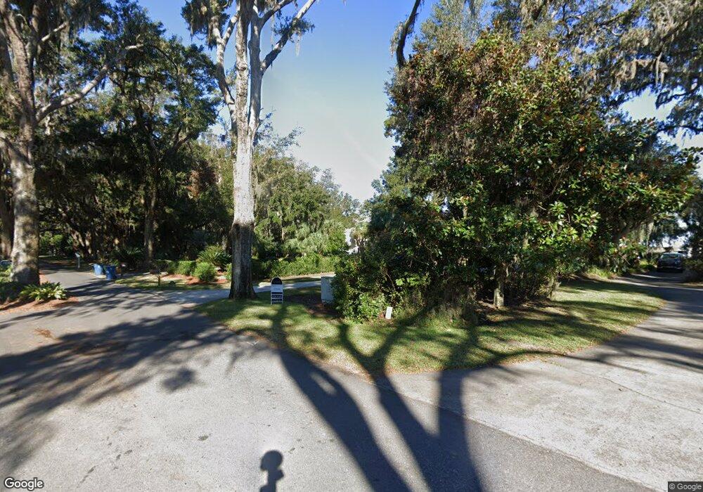
222 Hampton Point Dr Saint Simons Island, GA 31522
Hampton Point NeighborhoodEstimated Value: $1,871,860 - $2,273,000
5
Beds
6
Baths
6,016
Sq Ft
$347/Sq Ft
Est. Value
About This Home
This home is located at 222 Hampton Point Dr, Saint Simons Island, GA 31522 and is currently estimated at $2,085,465, approximately $346 per square foot. 222 Hampton Point Dr is a home located in Glynn County with nearby schools including Oglethorpe Point Elementary School, Glynn Middle School, and Glynn Academy.
Ownership History
Date
Name
Owned For
Owner Type
Purchase Details
Closed on
Aug 20, 2010
Sold by
Thaw Tony M
Bought by
Boatright Gregory Neal
Current Estimated Value
Home Financials for this Owner
Home Financials are based on the most recent Mortgage that was taken out on this home.
Original Mortgage
$600,000
Interest Rate
4.59%
Mortgage Type
Future Advance Clause Open End Mortgage
Create a Home Valuation Report for This Property
The Home Valuation Report is an in-depth analysis detailing your home's value as well as a comparison with similar homes in the area
Home Values in the Area
Average Home Value in this Area
Purchase History
| Date | Buyer | Sale Price | Title Company |
|---|---|---|---|
| Boatright Gregory Neal | $900,000 | -- |
Source: Public Records
Mortgage History
| Date | Status | Borrower | Loan Amount |
|---|---|---|---|
| Closed | Boatright Gregory Neal | $600,000 |
Source: Public Records
Tax History Compared to Growth
Tax History
| Year | Tax Paid | Tax Assessment Tax Assessment Total Assessment is a certain percentage of the fair market value that is determined by local assessors to be the total taxable value of land and additions on the property. | Land | Improvement |
|---|---|---|---|---|
| 2025 | $14,175 | $565,200 | $110,600 | $454,600 |
| 2024 | $14,350 | $572,200 | $110,600 | $461,600 |
| 2023 | $14,186 | $572,200 | $110,600 | $461,600 |
| 2022 | $13,786 | $544,720 | $110,600 | $434,120 |
| 2021 | $11,504 | $440,040 | $110,600 | $329,440 |
| 2020 | $11,614 | $440,040 | $110,600 | $329,440 |
| 2019 | $8,822 | $333,080 | $110,600 | $222,480 |
| 2018 | $8,822 | $333,080 | $110,600 | $222,480 |
| 2017 | $8,822 | $333,080 | $110,600 | $222,480 |
| 2016 | $8,119 | $333,080 | $110,600 | $222,480 |
| 2015 | $8,152 | $333,080 | $110,600 | $222,480 |
| 2014 | $8,152 | $333,080 | $110,600 | $222,480 |
Source: Public Records
Map
Nearby Homes
- 224 Rice Mill
- 1030 Plantation Point Dr
- 211 Hampton Point Dr
- 1505 Plantation Point Dr
- 1401 Plantation Point Dr
- 1104 Plantation Point Dr
- 1105 Plantation Point Dr
- 1303 Plantation Point Dr
- 155 Limeburn Trail
- 46 Limeburn Dr
- 119 Kiln Trail
- 180 Rice Mill
- 181 Rice Mill
- 160 Butler Lake Dr
- 931 Champney
- 930 Champney
- 819 Kings Grant
- 814 Kings Grant
- 166 Hampton Point Dr
- 160 Hampton Point Dr
- 220 Hampton Point Dr
- 1052 Plantation Point Dr Unit 52
- 1052 Plantation Point Dr
- 1051 Plantation Point Dr Unit 51
- 1051 Plantation Point Dr
- 1050 Plantation Point Dr
- 1050 Plantation Point Dr Unit 50
- 1049 Plantation Point Dr Unit 1049
- 1049 Plantation Point Dr
- 1049 Plantation Point Dr Unit 49
- 0 Hampton Point Dr Unit 16509
- 0 Hampton Point Dr Unit 16660
- 0 Hampton Point Dr Unit 181635
- 0 Hampton Point Dr Unit 17869
- 0 Hampton Point Dr Unit 18331
- 0 Hampton Point Dr Unit 312341
- 0 Hampton Point Dr Unit 105358
- 0 Hampton Point Dr Unit 112348
- 0 Hampton Point Dr Unit 119573
- 0 Hampton Point Dr Unit 14502
