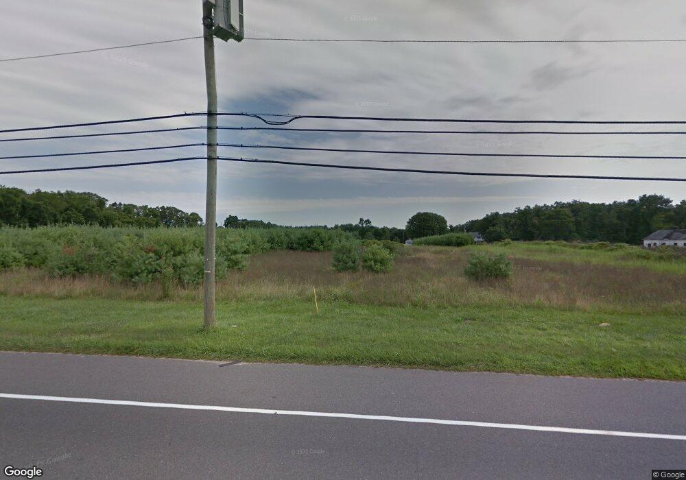
222 Harding Hwy Newfield, NJ 08344
Estimated Value: $630,000
--
Bed
--
Bath
6,000
Sq Ft
$105/Sq Ft
Est. Value
About This Home
This home is located at 222 Harding Hwy, Newfield, NJ 08344 and is currently estimated at $630,000, approximately $105 per square foot. 222 Harding Hwy is a home located in Salem County with nearby schools including Upper Pittsgrove School.
Ownership History
Date
Name
Owned For
Owner Type
Purchase Details
Closed on
Oct 3, 2024
Sold by
Dobson Turf Management Llc
Bought by
Rt 40 Property Mgt Llc
Current Estimated Value
Purchase Details
Closed on
Mar 2, 2016
Sold by
Dobson Turf Management Llc
Bought by
Dobson Turf Management Llc
Purchase Details
Closed on
Aug 25, 2014
Sold by
Prime Land Llc
Bought by
Dobson Turf Management Llc
Purchase Details
Closed on
May 30, 2012
Sold by
Prime Land Llc
Bought by
Upper Pittsgrove Township
Create a Home Valuation Report for This Property
The Home Valuation Report is an in-depth analysis detailing your home's value as well as a comparison with similar homes in the area
Home Values in the Area
Average Home Value in this Area
Purchase History
| Date | Buyer | Sale Price | Title Company |
|---|---|---|---|
| Rt 40 Property Mgt Llc | -- | None Listed On Document | |
| Dobson Turf Management Llc | -- | West Jersey Title Agency | |
| Dobson Turf Management Llc | $90,000 | West Jersey Title Agency | |
| Upper Pittsgrove Township | $10,000 | -- |
Source: Public Records
Tax History Compared to Growth
Tax History
| Year | Tax Paid | Tax Assessment Tax Assessment Total Assessment is a certain percentage of the fair market value that is determined by local assessors to be the total taxable value of land and additions on the property. | Land | Improvement |
|---|---|---|---|---|
| 2025 | $14,017 | $455,100 | $230,800 | $224,300 |
| 2024 | $13,567 | $455,100 | $230,800 | $224,300 |
| 2023 | $13,567 | $455,100 | $230,800 | $224,300 |
| 2022 | $12,666 | $434,500 | $230,800 | $203,700 |
| 2021 | $12,157 | $434,500 | $230,800 | $203,700 |
| 2020 | $11,831 | $434,500 | $230,800 | $203,700 |
| 2019 | $10,088 | $383,300 | $233,300 | $150,000 |
| 2018 | $9,632 | $383,300 | $233,300 | $150,000 |
| 2017 | $9,625 | $383,300 | $233,300 | $150,000 |
| 2016 | $3,818 | $159,000 | $159,000 | $0 |
| 2015 | $3,600 | $159,000 | $159,000 | $0 |
| 2014 | $3,477 | $159,000 | $159,000 | $0 |
Source: Public Records
Map
Nearby Homes
- 248 Harding Hwy Unit D5
- 265 Harding Hwy
- 57 Hazelwood Dr
- 6 Hazelwood Dr
- 23 Cedarwood Dr
- 18 Birchwood Dr
- 74 Madison Rd
- 26 Cedarwood Dr
- 117 Hazelwood Dr
- 337 Harding Hwy
- 139 Taylor Rd Unit 141
- 51 Laurel Ave
- 760 Buck Rd
- 461 3 Bridge Rd
- 99 Three Bridge Rd
- 66 Lay Dr
- 0 00011 04 Lawrence Corner Rd
- 0 00011 03 Lawrence Corner Rd
- 0 00011 02 Lawrence Corner Rd
- 27 Pine St
- 218 Harding Hwy
- 228 Harding Hwy
- 238 Harding Hwy
- 236 Harding Hwy
- 248 Placid Pine Ln
- 234 Harding Hwy
- 3 Three Bridge Rd
- 226 Harding Hwy
- 230 Harding Hwy
- 230 Route 40
- 204 Harding Hwy
- 232 Harding Hwy
- 232 U S 40
- 244 Route 40 Unit A,B
- 244 Route 40
- 244 Harding Hwy
- 248 Route 40 Unit A3
- 248 Route 40 Unit 195A
- 248 Route 40 A3
- 248 Route 40