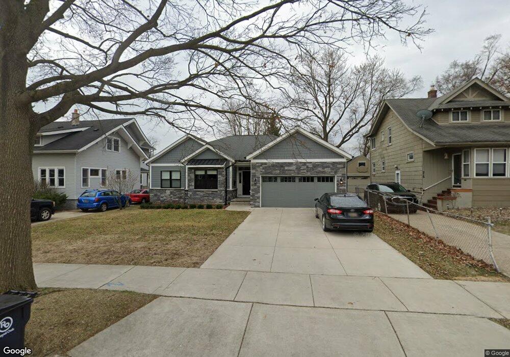
222 Hawthorn Ave Unit Bldg-Unit Royal Oak, MI 48067
Estimated Value: $839,000 - $888,000
3
Beds
4
Baths
2,264
Sq Ft
$381/Sq Ft
Est. Value
About This Home
This home is located at 222 Hawthorn Ave Unit Bldg-Unit, Royal Oak, MI 48067 and is currently estimated at $863,480, approximately $381 per square foot. 222 Hawthorn Ave Unit Bldg-Unit is a home located in Oakland County with nearby schools including Keller Elementary, Royal Oak Middle School, and Royal Oak High School.
Ownership History
Date
Name
Owned For
Owner Type
Purchase Details
Closed on
Jun 5, 2023
Sold by
Barton Ellen L
Bought by
Ellen L Barton Living Trust
Current Estimated Value
Purchase Details
Closed on
Jan 4, 2018
Sold by
Horizon Homes Llc
Bought by
Barton Ellen L and Kraut Michael J
Purchase Details
Closed on
Mar 30, 2017
Sold by
Tamura Michelle and Tamura Mark
Bought by
Horizon Homes Llc
Purchase Details
Closed on
Jul 8, 2002
Sold by
Tamura Mark
Bought by
Tamura Mark
Home Financials for this Owner
Home Financials are based on the most recent Mortgage that was taken out on this home.
Original Mortgage
$85,000
Interest Rate
6.8%
Create a Home Valuation Report for This Property
The Home Valuation Report is an in-depth analysis detailing your home's value as well as a comparison with similar homes in the area
Home Values in the Area
Average Home Value in this Area
Purchase History
| Date | Buyer | Sale Price | Title Company |
|---|---|---|---|
| Ellen L Barton Living Trust | -- | None Listed On Document | |
| Barton Ellen L | $625,900 | None Available | |
| Horizon Homes Llc | $200,000 | None Available | |
| Tamura Mark | -- | -- |
Source: Public Records
Mortgage History
| Date | Status | Borrower | Loan Amount |
|---|---|---|---|
| Previous Owner | Tamura Mark | $85,000 |
Source: Public Records
Tax History Compared to Growth
Tax History
| Year | Tax Paid | Tax Assessment Tax Assessment Total Assessment is a certain percentage of the fair market value that is determined by local assessors to be the total taxable value of land and additions on the property. | Land | Improvement |
|---|---|---|---|---|
| 2024 | $9,181 | $339,270 | $0 | $0 |
| 2022 | $10,848 | $296,460 | $0 | $0 |
| 2020 | $8,921 | $285,670 | $0 | $0 |
| 2018 | $10,848 | $91,870 | $0 | $0 |
| 2017 | $2,281 | $91,870 | $0 | $0 |
| 2015 | -- | $74,520 | $0 | $0 |
| 2014 | -- | $70,500 | $0 | $0 |
| 2011 | -- | $67,710 | $0 | $0 |
Source: Public Records
Map
Nearby Homes
- 408 Forest Ave
- 923 N Center St
- 715 Gardenia Ave
- 801 Hawthorn Ave
- 1101 N Washington Ave
- 805 Forest Ave
- 410 Crane Ave
- 214 Woodsboro Dr
- 312 Park Ave
- 718 N Alexander Ave
- 423 Dewey St
- 122 Euclid Ave
- 350 N Main St Unit 814
- 520 N Alexander Ave
- 806 N Altadena Ave
- 621 Dewey St
- 1427 Marywood Dr
- 402 N West St
- 206 N Washington Ave
- 101 Curry Ave Unit 536
- 222 Hawthorn Ave
- 228 Hawthorn Ave
- 216 Hawthorn Ave
- 215 Forest Ave
- 232 Hawthorn Ave
- 209 Forest Ave
- 221 Forest Ave
- 227 Forest Ave
- 210 Hawthorn Ave
- 223 Hawthorn Ave
- 204 Hawthorn Ave
- 229 Hawthorn Ave
- 219 Hawthorn Ave
- 215 Hawthorn Ave
- 233 Forest Ave
- 233 Hawthorn Ave
- 302 Hawthorn Ave
- 301 Hawthorn Ave
- 203 Forest Ave
- 130 Hawthorn Ave