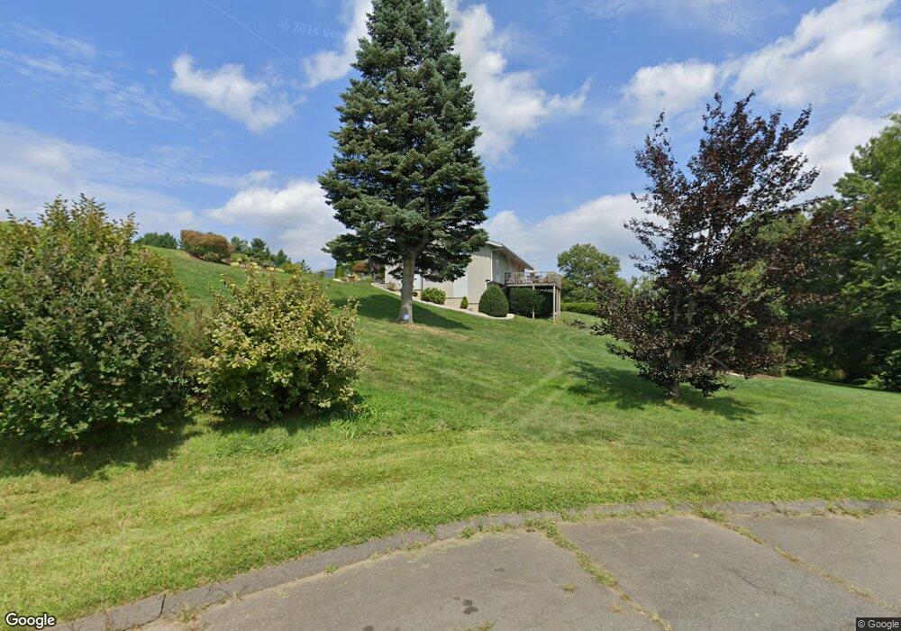
222 Hillside Rd Berlin, CT 06037
Estimated Value: $692,475 - $807,000
4
Beds
5
Baths
2,660
Sq Ft
$289/Sq Ft
Est. Value
About This Home
This home is located at 222 Hillside Rd, Berlin, CT 06037 and is currently estimated at $768,119, approximately $288 per square foot. 222 Hillside Rd is a home located in Hartford County with nearby schools including Mary E. Griswold School, Catherine M. Mcgee Middle School, and Berlin High School.
Ownership History
Date
Name
Owned For
Owner Type
Purchase Details
Closed on
Aug 30, 2022
Sold by
Knaus Peter R and Knaus Jane
Bought by
Jane W Knaus Ret
Current Estimated Value
Purchase Details
Closed on
Sep 2, 2011
Sold by
Knaus Janet R
Bought by
Knaus Peter R and Knaus Jane
Home Financials for this Owner
Home Financials are based on the most recent Mortgage that was taken out on this home.
Original Mortgage
$370,000
Interest Rate
4.52%
Create a Home Valuation Report for This Property
The Home Valuation Report is an in-depth analysis detailing your home's value as well as a comparison with similar homes in the area
Home Values in the Area
Average Home Value in this Area
Purchase History
| Date | Buyer | Sale Price | Title Company |
|---|---|---|---|
| Jane W Knaus Ret | -- | None Available | |
| Jane W Knaus Ret | -- | None Available | |
| Knaus Peter R | $415,000 | -- | |
| Knaus Janet R | -- | -- | |
| Knaus Janet R | -- | -- |
Source: Public Records
Mortgage History
| Date | Status | Borrower | Loan Amount |
|---|---|---|---|
| Previous Owner | Knaus Janet R | $75,000 | |
| Previous Owner | Knaus Janet R | $370,000 |
Source: Public Records
Tax History
| Year | Tax Paid | Tax Assessment Tax Assessment Total Assessment is a certain percentage of the fair market value that is determined by local assessors to be the total taxable value of land and additions on the property. | Land | Improvement |
|---|---|---|---|---|
| 2025 | $11,650 | $380,100 | $172,400 | $207,700 |
| 2024 | $11,483 | $380,100 | $172,400 | $207,700 |
| 2023 | $11,236 | $380,100 | $172,400 | $207,700 |
| 2022 | $11,154 | $325,100 | $154,700 | $170,400 |
| 2021 | $11,031 | $325,100 | $154,700 | $170,400 |
| 2020 | $11,031 | $325,100 | $154,700 | $170,400 |
| 2019 | $11,031 | $325,100 | $154,700 | $170,400 |
| 2018 | $10,566 | $325,100 | $154,700 | $170,400 |
| 2017 | $10,106 | $319,700 | $148,500 | $171,200 |
| 2016 | $9,850 | $319,700 | $148,500 | $171,200 |
| 2015 | $9,703 | $319,700 | $148,500 | $171,200 |
| 2014 | $9,246 | $319,700 | $148,500 | $171,200 |
Source: Public Records
Map
Nearby Homes
- 0 Slope South Dr
- 5 Briar Ln
- 170 Dayl Dr
- 266 Farmington Ave
- 381 Chamberlain Hwy
- 10 Main St Unit 107
- 186 Kensington Ave
- 28 Glendale Ave
- 953 High Rd
- 963 High Rd
- 975 High Rd
- 33 Langdon Ct Unit D104
- 152 Lyons St
- 22 Mason Dr
- 243 Pond St
- 30 Norden St
- 225 Ox Yoke Dr
- 207 Roslyn Dr
- 51 Towne Dr
- 67 Brooklawn St
- 218 Hillside Rd
- 378 Mooreland Rd
- 210 Hillside Rd
- 229 Hillside Rd
- 183 Mooreland Rd
- 163 Mooreland Rd
- 355 Mooreland Rd
- 366 Mooreland Rd
- 211 Mooreland Rd
- 370 High Rd
- 215 Hillside Rd
- 194 Hillside Rd
- 48 Everett St
- 352 Mooreland Rd
- 243 Mooreland Rd
- 339 Mooreland Rd
- 203 Hillside Rd
- 8 Woodland Ln
- 34 Everett St
- 184 Mooreland Rd
Your Personal Tour Guide
Ask me questions while you tour the home.