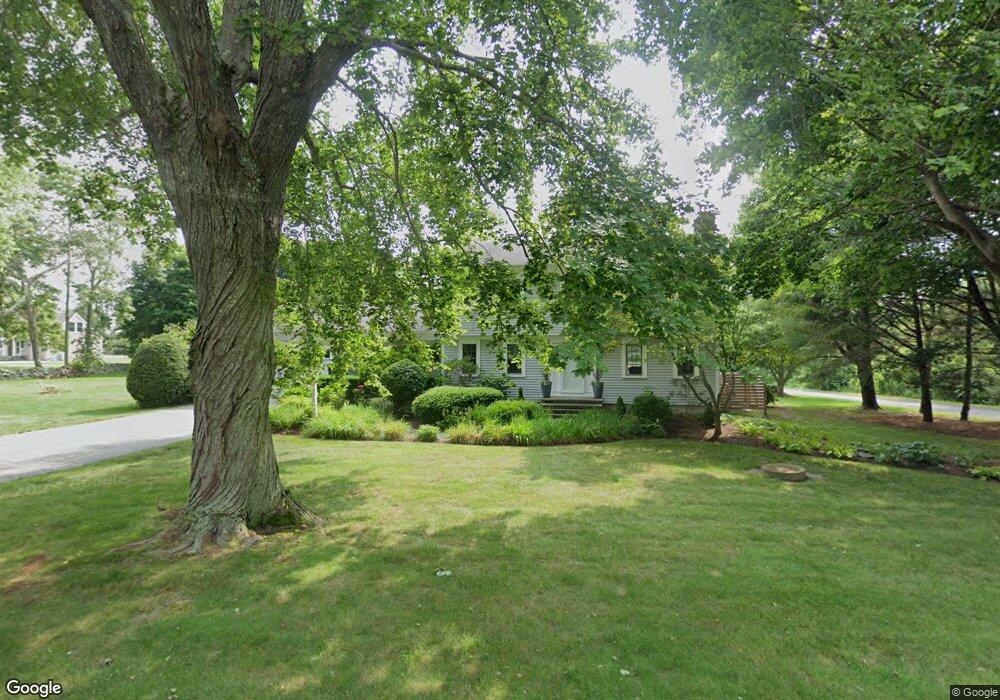
222 Indian Point Rd Tiverton, RI 02878
South Tiverton NeighborhoodEstimated Value: $913,931 - $1,335,000
4
Beds
3
Baths
2,372
Sq Ft
$484/Sq Ft
Est. Value
About This Home
This home is located at 222 Indian Point Rd, Tiverton, RI 02878 and is currently estimated at $1,147,983, approximately $483 per square foot. 222 Indian Point Rd is a home located in Newport County with nearby schools including Tiverton High School.
Ownership History
Date
Name
Owned For
Owner Type
Purchase Details
Closed on
Aug 17, 2023
Sold by
Boivin Joseph A and Boivin Lori B
Bought by
Boivin Lt and Boivin
Current Estimated Value
Purchase Details
Closed on
Dec 7, 2000
Sold by
Ney Joseph A and Ney Polly
Bought by
Boivin Joseph A and Boivin Lori
Home Financials for this Owner
Home Financials are based on the most recent Mortgage that was taken out on this home.
Original Mortgage
$248,000
Interest Rate
7.64%
Mortgage Type
Purchase Money Mortgage
Create a Home Valuation Report for This Property
The Home Valuation Report is an in-depth analysis detailing your home's value as well as a comparison with similar homes in the area
Home Values in the Area
Average Home Value in this Area
Purchase History
| Date | Buyer | Sale Price | Title Company |
|---|---|---|---|
| Boivin Lt | -- | None Available | |
| Boivin Joseph A | $310,000 | -- |
Source: Public Records
Mortgage History
| Date | Status | Borrower | Loan Amount |
|---|---|---|---|
| Previous Owner | Boivin Joseph A | $200,000 | |
| Previous Owner | Boivin Joseph A | $285,000 | |
| Previous Owner | Boivin Joseph A | $248,000 | |
| Previous Owner | Boivin Joseph A | $93,000 |
Source: Public Records
Tax History Compared to Growth
Tax History
| Year | Tax Paid | Tax Assessment Tax Assessment Total Assessment is a certain percentage of the fair market value that is determined by local assessors to be the total taxable value of land and additions on the property. | Land | Improvement |
|---|---|---|---|---|
| 2025 | $8,126 | $735,400 | $323,200 | $412,200 |
| 2024 | $8,126 | $735,400 | $323,200 | $412,200 |
| 2023 | $7,171 | $481,300 | $247,900 | $233,400 |
| 2022 | $7,041 | $481,300 | $247,900 | $233,400 |
| 2021 | $6,868 | $481,300 | $247,900 | $233,400 |
| 2020 | $7,441 | $459,600 | $191,800 | $267,800 |
| 2019 | $7,257 | $459,600 | $191,800 | $267,800 |
| 2018 | $7,533 | $459,600 | $191,800 | $267,800 |
| 2017 | $8,058 | $423,000 | $191,800 | $231,200 |
| 2016 | $8,096 | $423,000 | $191,800 | $231,200 |
| 2015 | $8,096 | $423,000 | $191,800 | $231,200 |
| 2014 | $8,318 | $431,000 | $191,800 | $239,200 |
Source: Public Records
Map
Nearby Homes
- 46 Arrowhead Dr
- 32 Arrowhead Dr
- 89 North Ct
- 3118 Main Rd
- 0 Seapowet Ave
- 0 Riverscape Ln Unit 73452278
- 0 Riverscape Ln Unit 1399502
- 68 Riverscape Ln
- 58 Leonard Dr
- 451 Seapowet Ave
- 3333 Main Rd
- 219 Nanaquaket Rd
- 536 Highland Rd
- 536-R Highland Rd
- 3622 Main Rd
- 1874 Main Rd
- 174 Highland Rd
- 100 Furey Ave
- 1660 Main Rd
- 75 Macomber Ln
- 53 Sachem Rd
- 74 Arrowhead Dr
- 221 Indian Point Rd
- 50 Sachem Rd
- 29 Sachem Rd
- 34 Sachem Rd
- 266 Indian Point Rd
- 17 Penny Pond Rd
- 162 Indian Point Rd
- 575 Nanaquaket Rd
- 16 Sachem Rd
- 43 Penny Pond Rd
- 222 Winnisimet Dr
- 4 Arrowhead Dr
- 1 Sachem Rd
- 25 Arrowhead Dr
- 63 Winnisimet Dr
- 0 Winnisimet Dr
- 55 Penny Pond Rd
- 281 Indian Point Rd