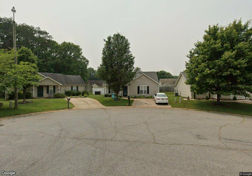
222 Jadin Ct Winston Salem, NC 27107
Estimated Value: $205,000 - $253,000
3
Beds
2
Baths
1,234
Sq Ft
$183/Sq Ft
Est. Value
About This Home
This home is located at 222 Jadin Ct, Winston Salem, NC 27107 and is currently estimated at $226,019, approximately $183 per square foot. 222 Jadin Ct is a home located in Forsyth County with nearby schools including Hall-Woodward Elementary School, Philo-Hill Magnet Academy, and R.B. Glenn High School.
Ownership History
Date
Name
Owned For
Owner Type
Purchase Details
Closed on
Mar 21, 2006
Sold by
Corbin Place Associates Llc
Bought by
Miller Robert and Miller Christina
Current Estimated Value
Home Financials for this Owner
Home Financials are based on the most recent Mortgage that was taken out on this home.
Original Mortgage
$22,350
Interest Rate
5.8%
Mortgage Type
Stand Alone Second
Create a Home Valuation Report for This Property
The Home Valuation Report is an in-depth analysis detailing your home's value as well as a comparison with similar homes in the area
Home Values in the Area
Average Home Value in this Area
Purchase History
| Date | Buyer | Sale Price | Title Company |
|---|---|---|---|
| Miller Robert | $112,000 | None Available |
Source: Public Records
Mortgage History
| Date | Status | Borrower | Loan Amount |
|---|---|---|---|
| Closed | Miller Robert | $22,350 | |
| Open | Miller Robert | $89,500 |
Source: Public Records
Tax History Compared to Growth
Tax History
| Year | Tax Paid | Tax Assessment Tax Assessment Total Assessment is a certain percentage of the fair market value that is determined by local assessors to be the total taxable value of land and additions on the property. | Land | Improvement |
|---|---|---|---|---|
| 2025 | $1,660 | $223,200 | $26,000 | $197,200 |
| 2024 | $1,584 | $118,300 | $23,000 | $95,300 |
| 2023 | $1,584 | $118,300 | $23,000 | $95,300 |
| 2022 | $1,554 | $118,300 | $23,000 | $95,300 |
| 2021 | $1,526 | $118,300 | $23,000 | $95,300 |
| 2020 | $1,196 | $86,600 | $22,000 | $64,600 |
| 2019 | $1,205 | $86,600 | $22,000 | $64,600 |
| 2018 | $1,144 | $86,600 | $22,000 | $64,600 |
| 2016 | $891 | $67,654 | $15,400 | $52,254 |
| 2015 | $877 | $67,654 | $15,400 | $52,254 |
| 2014 | $851 | $67,654 | $15,400 | $52,254 |
Source: Public Records
Map
Nearby Homes
- 0 Green Point Rd
- 137 Vogler Dr
- 3514 Landis St SE
- 3520 Landis St SE
- 3532 Landis St SE
- 3538 Landis St SE
- 3544 Landis St SE
- 301 Bedford Park Dr
- 3422 Robindale Dr
- 2830 Frank St
- 3441 Robindale Dr
- 2922 Poinsetta Dr
- 3453 Robindale Dr
- 3471 Robindale Dr
- 3598 Robindale Dr
- 113 Dillon St
- 2329 Cole Rd
- Ashe Plan at Robindale
- Erie Plan at Robindale
- Camden Plan at Robindale