222 Jim Perry Rd Lagrange, GA 30241
Estimated Value: $264,000 - $472,789
3
Beds
2
Baths
1,902
Sq Ft
$203/Sq Ft
Est. Value
About This Home
This home is located at 222 Jim Perry Rd, Lagrange, GA 30241 and is currently estimated at $385,930, approximately $202 per square foot. 222 Jim Perry Rd is a home located in Troup County with nearby schools including Rosemont Elementary School, Whitesville Road Elementary School, and Berta Weathersbee Elementary School.
Ownership History
Date
Name
Owned For
Owner Type
Purchase Details
Closed on
Apr 10, 2024
Sold by
Sankbeil Edward J
Bought by
Sankbeil John Edward and Sankbeil Lyssa Lian
Current Estimated Value
Purchase Details
Closed on
Aug 15, 2019
Sold by
Sankbeil Edward J
Bought by
Thrasher Edith
Purchase Details
Closed on
Jun 28, 2004
Sold by
Garison Todd Holloway
Bought by
Sankbeil Edward J
Purchase Details
Closed on
Sep 30, 1999
Sold by
Stephen G Holloway
Bought by
Garison Todd Holloway
Purchase Details
Closed on
Mar 28, 1995
Sold by
Elizabeth Wright
Bought by
Stephen G Holloway
Create a Home Valuation Report for This Property
The Home Valuation Report is an in-depth analysis detailing your home's value as well as a comparison with similar homes in the area
Home Values in the Area
Average Home Value in this Area
Purchase History
| Date | Buyer | Sale Price | Title Company |
|---|---|---|---|
| Sankbeil John Edward | -- | -- | |
| Thrasher Edith | -- | -- | |
| Sankbeil Edward J | $48,000 | -- | |
| Garison Todd Holloway | -- | -- | |
| Stephen G Holloway | -- | -- |
Source: Public Records
Tax History Compared to Growth
Tax History
| Year | Tax Paid | Tax Assessment Tax Assessment Total Assessment is a certain percentage of the fair market value that is determined by local assessors to be the total taxable value of land and additions on the property. | Land | Improvement |
|---|---|---|---|---|
| 2024 | $152 | $145,840 | $30,720 | $115,120 |
| 2023 | $296 | $144,200 | $30,720 | $113,480 |
| 2022 | $3,191 | $139,800 | $30,720 | $109,080 |
| 2021 | $3,281 | $133,160 | $29,200 | $103,960 |
| 2020 | $3,133 | $128,348 | $29,200 | $99,148 |
| 2019 | $3,144 | $128,840 | $29,200 | $99,640 |
| 2018 | $3,614 | $119,832 | $29,200 | $90,632 |
| 2017 | $2,725 | $117,920 | $29,240 | $88,680 |
Source: Public Records
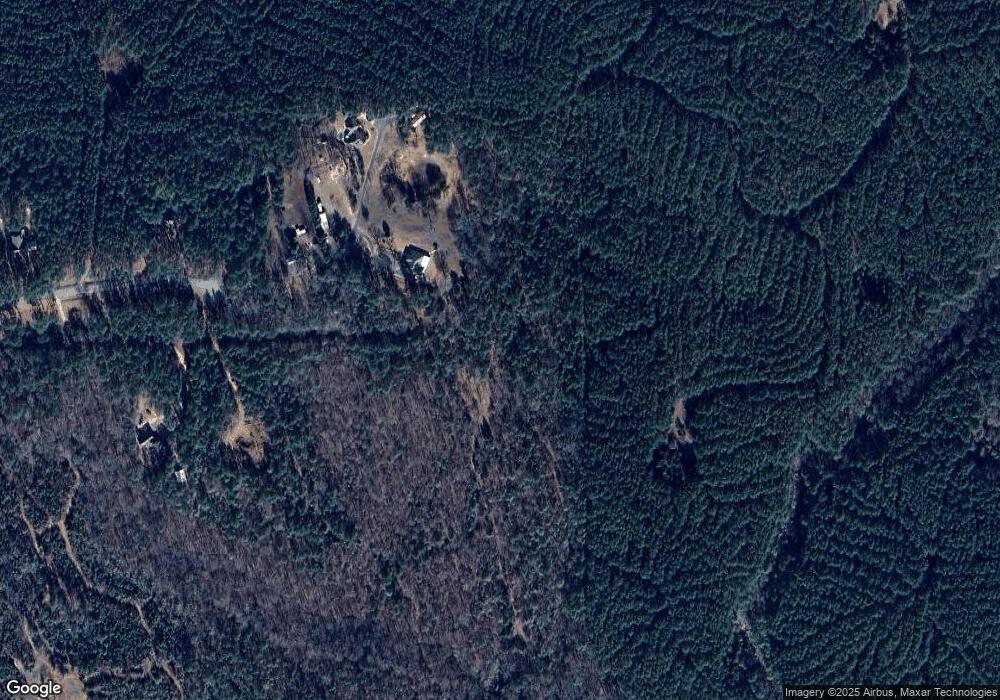
Map
Nearby Homes
- 0 Jim Perry Rd Unit 25773088
- 0 Smokey Rd Unit 10570471
- 430 Briley Rd
- 5656 Hamilton Rd
- 5656 Hamilton Rd
- 0 Briley Rd Unit 10582531
- 0 Briley Rd Unit 214353
- 783 Rosemont Rd
- 37.23 ACRES / 0 Smokey Rd
- 119 Robertson Rd
- 113 Glenn Eagle Point
- 3919 Hamilton Rd Unit LOT 1
- 137 Robertson Rd
- 417 Tucker Rd
- 186 Old Chipley Rd
- 15 Frost School Rd
- 3691 Hamilton Rd
- 401 Lower Big Springs Rd Unit LOT 1
- 670 Lower Big Springs Rd
- 1144 Oak Grove Rd
- 228 Jim Perry Rd
- 215 Jim Perry Rd
- 191 Jim Perry Rd
- 143 Jim Perry Rd
- 170 Jim Perry Rd
- 99 Jim Perry Rd
- 89 Jim Perry Rd
- 51 Jim Perry Rd
- 161 Diana Ct Unit 12
- 317 Burgess Rd
- 305 Hardy Rd
- 140 Diana Ct
- 151 Diana Ct
- 297 Burgess Rd
- 141 Diana Ct Unit Lot 14
- 319 Burgess Rd
- 150 Woodmont Dr
- 160 Woodmont Dr
- 130 Diana Ct
- 330 Hardy Rd