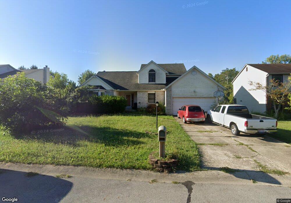
222 Key Blvd Pataskala, OH 43062
Estimated Value: $402,907 - $450,000
5
Beds
3
Baths
1,565
Sq Ft
$270/Sq Ft
Est. Value
About This Home
This home is located at 222 Key Blvd, Pataskala, OH 43062 and is currently estimated at $422,227, approximately $269 per square foot. 222 Key Blvd is a home located in Licking County with nearby schools including Pataskala Elementary School, Etna Elementary School, and Watkins Middle School.
Ownership History
Date
Name
Owned For
Owner Type
Purchase Details
Closed on
Jun 20, 2022
Sold by
Cook Stephen W
Bought by
Tax Ease Oh V Llc
Current Estimated Value
Purchase Details
Closed on
May 2, 2022
Sold by
Cook Stephen W
Bought by
Tax Ease Oh V Llc
Purchase Details
Closed on
Oct 15, 1999
Sold by
Hess Douglas J
Bought by
Cox Michael R and Cox Karne J
Home Financials for this Owner
Home Financials are based on the most recent Mortgage that was taken out on this home.
Original Mortgage
$160,000
Interest Rate
7.9%
Mortgage Type
New Conventional
Create a Home Valuation Report for This Property
The Home Valuation Report is an in-depth analysis detailing your home's value as well as a comparison with similar homes in the area
Home Values in the Area
Average Home Value in this Area
Purchase History
| Date | Buyer | Sale Price | Title Company |
|---|---|---|---|
| Tax Ease Oh V Llc | $4,957 | -- | |
| Tax Ease Oh V Llc | $9,918 | None Listed On Document | |
| Cox Michael R | $169,867 | -- |
Source: Public Records
Mortgage History
| Date | Status | Borrower | Loan Amount |
|---|---|---|---|
| Previous Owner | Cox Michael R | $160,000 |
Source: Public Records
Tax History
| Year | Tax Paid | Tax Assessment Tax Assessment Total Assessment is a certain percentage of the fair market value that is determined by local assessors to be the total taxable value of land and additions on the property. | Land | Improvement |
|---|---|---|---|---|
| 2024 | $5,096 | $122,680 | $32,760 | $89,920 |
| 2023 | $5,347 | $122,680 | $32,760 | $89,920 |
| 2022 | $4,168 | $85,930 | $22,120 | $63,810 |
| 2021 | $4,293 | $85,930 | $22,120 | $63,810 |
| 2020 | $4,358 | $85,930 | $22,120 | $63,810 |
| 2019 | $3,820 | $69,550 | $16,380 | $53,170 |
| 2018 | $3,834 | $0 | $0 | $0 |
| 2017 | $3,473 | $0 | $0 | $0 |
| 2016 | $3,267 | $0 | $0 | $0 |
| 2015 | $3,148 | $0 | $0 | $0 |
| 2014 | $4,007 | $0 | $0 | $0 |
| 2013 | $3,100 | $0 | $0 | $0 |
Source: Public Records
Map
Nearby Homes
- 388 S Township Rd
- 116 Ruby Rd
- 258 S Main St
- 218 Blacks Rd
- 0 Blacks Rd Unit 215031989
- 0 Blacks Rd Unit Lot 10
- 96 Aspen Ln SW
- 0 E Broad St
- 210 Cedar St Unit 156b
- 280 Granville St
- 303 Levi Dr Unit Lot 7
- 186 Markway Dr Unit Lot 12
- 305 Levi Dr Unit Lot 6
- 188 Markway Dr Unit Lot 13
- 282 River Forest Rd
- 950 Villas Dr Unit 950
- 206 Fairgrounds St
- 0 Hazelton-Etna Rd SW Unit 224002323
- 6690 Watkins Rd SW
- Yosemite Plan at Heron Manor - Maple Street Collection