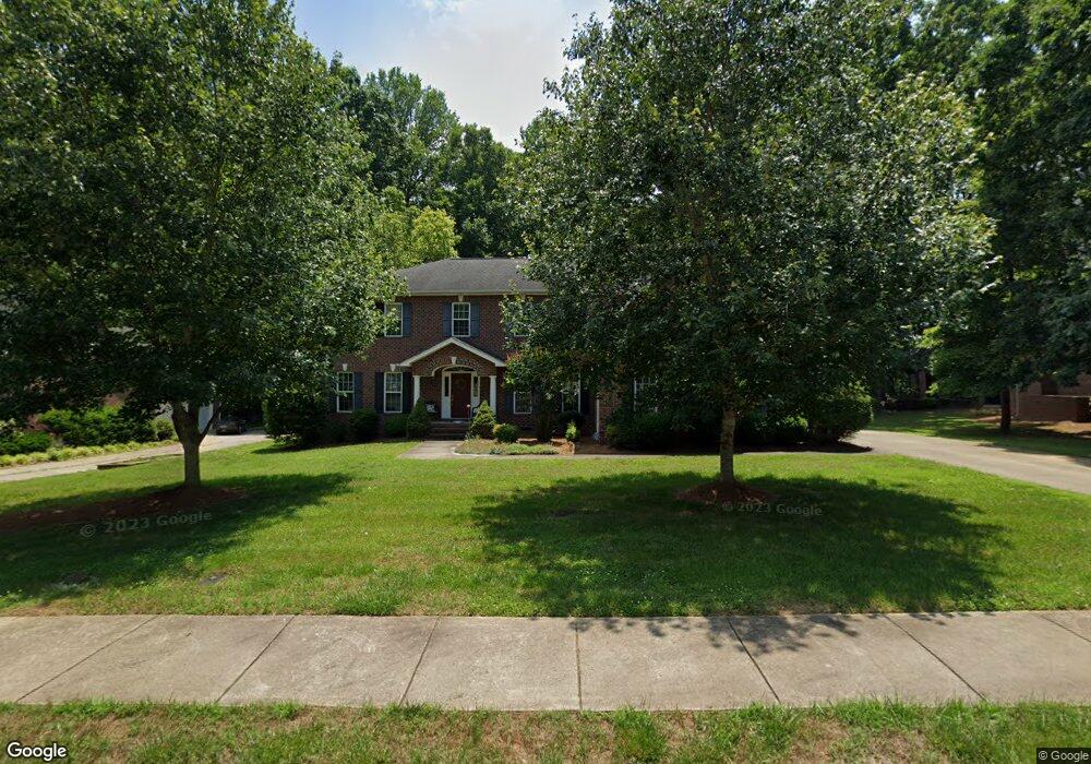
222 Kingsbridge Rd Salisbury, NC 28144
Estimated Value: $505,000 - $604,000
Studio
3
Baths
3,474
Sq Ft
$157/Sq Ft
Est. Value
About This Home
This home is located at 222 Kingsbridge Rd, Salisbury, NC 28144 and is currently estimated at $545,001, approximately $156 per square foot. 222 Kingsbridge Rd is a home located in Rowan County with nearby schools including Carroll T Overton Elementary School, North Rowan Middle School, and Salisbury High School.
Ownership History
Date
Name
Owned For
Owner Type
Purchase Details
Closed on
Jul 29, 2005
Sold by
Belle Realty Development Co Inc
Bought by
Link Robert M and Link Susan A
Current Estimated Value
Home Financials for this Owner
Home Financials are based on the most recent Mortgage that was taken out on this home.
Original Mortgage
$220,000
Outstanding Balance
$114,229
Interest Rate
5.48%
Mortgage Type
Construction
Estimated Equity
$430,772
Create a Home Valuation Report for This Property
The Home Valuation Report is an in-depth analysis detailing your home's value as well as a comparison with similar homes in the area
Home Values in the Area
Average Home Value in this Area
Purchase History
| Date | Buyer | Sale Price | Title Company |
|---|---|---|---|
| Link Robert M | $41,500 | -- |
Source: Public Records
Mortgage History
| Date | Status | Borrower | Loan Amount |
|---|---|---|---|
| Open | Link Robert M | $220,000 |
Source: Public Records
Tax History
| Year | Tax Paid | Tax Assessment Tax Assessment Total Assessment is a certain percentage of the fair market value that is determined by local assessors to be the total taxable value of land and additions on the property. | Land | Improvement |
|---|---|---|---|---|
| 2025 | $5,801 | $485,020 | $42,500 | $442,520 |
| 2024 | $5,801 | $485,020 | $42,500 | $442,520 |
| 2023 | $5,801 | $485,020 | $42,500 | $442,520 |
| 2022 | $5,138 | $373,068 | $35,000 | $338,068 |
| 2021 | $5,138 | $373,068 | $35,000 | $338,068 |
| 2020 | $5,138 | $373,068 | $35,000 | $338,068 |
| 2019 | $5,138 | $373,068 | $35,000 | $338,068 |
| 2018 | $4,472 | $329,124 | $35,000 | $294,124 |
| 2017 | $4,448 | $329,124 | $35,000 | $294,124 |
| 2016 | $4,326 | $329,124 | $35,000 | $294,124 |
| 2015 | $4,353 | $329,124 | $35,000 | $294,124 |
| 2014 | $4,703 | $359,874 | $64,000 | $295,874 |
Source: Public Records
Map
Nearby Homes
- 407 Rugby Rd
- 413 Rugby Rd
- 417 Rugby Rd
- 313 Rugby Rd
- 414 Rugby Rd
- 309 Rugby Rd
- 305 Rugby Rd
- 306 Rugby Rd
- 301 Rugby Rd
- 209 Rugby Rd
- 514 Idlewood Dr
- 408 Camelot Dr
- 1456 Amberlight Cir
- 1410 Amberlight Cir
- 1674 Amberlight Cir
- 324 Windsor Dr
- 1105 Silvertrace Dr
- 2920 W Innes St
- 205 Windsor Dr
- 1219 Amberlight Cir
- 302 Kingsbridge Rd
- 218 Kingsbridge Rd
- 112 Waverly Cir
- 116 Waverly Cir
- 219 Kingsbridge Rd
- 219 Kingsbridge Rd Unit NULL
- 301 Kingsbridge Rd
- 211 Kingsbridge Rd
- 00 Lancaster Ct
- 108 Waverly Cir
- 207 Kingsbridge Rd
- 115 Waverly Cir
- 106 Lancaster Ct
- 104 Waverly Cir
- 206 Kingsbridge Rd
- 109 Waverly Cir
- 105 Waverly Cir
- 201 Kingsbridge Rd
- 109 Lancaster Ct Unit 233
- 112 Glendower Dr
Your Personal Tour Guide
Ask me questions while you tour the home.