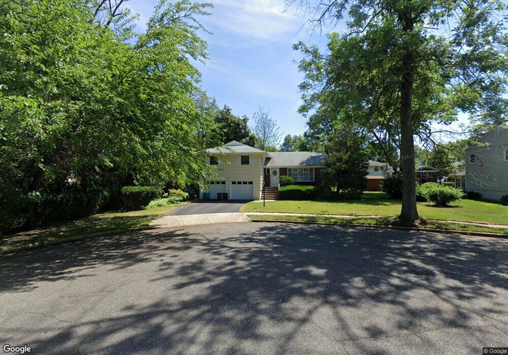
222 Laurel Dr Oradell, NJ 07649
Estimated Value: $896,000 - $1,029,000
3
Beds
3
Baths
1,810
Sq Ft
$523/Sq Ft
Est. Value
About This Home
This home is located at 222 Laurel Dr, Oradell, NJ 07649 and is currently estimated at $947,222, approximately $523 per square foot. 222 Laurel Dr is a home located in Bergen County with nearby schools including Oradell Elementary School, River Dell Middle School, and River Dell Regional High School.
Ownership History
Date
Name
Owned For
Owner Type
Purchase Details
Closed on
Mar 23, 2022
Sold by
Wolfe Peter M
Bought by
Wolfe Sharon
Current Estimated Value
Purchase Details
Closed on
Aug 24, 2017
Sold by
Finn Patricia and Finn James
Bought by
Welfie Peter M
Home Financials for this Owner
Home Financials are based on the most recent Mortgage that was taken out on this home.
Original Mortgage
$460,000
Interest Rate
3.92%
Mortgage Type
New Conventional
Create a Home Valuation Report for This Property
The Home Valuation Report is an in-depth analysis detailing your home's value as well as a comparison with similar homes in the area
Home Values in the Area
Average Home Value in this Area
Purchase History
| Date | Buyer | Sale Price | Title Company |
|---|---|---|---|
| Wolfe Sharon | $257,179 | Sweeney Molly | |
| Wolfe Sharon | $257,179 | None Listed On Document | |
| Welfie Peter M | $540,000 | Paradigm Title |
Source: Public Records
Mortgage History
| Date | Status | Borrower | Loan Amount |
|---|---|---|---|
| Previous Owner | Welfie Peter M | $460,000 |
Source: Public Records
Tax History
| Year | Tax Paid | Tax Assessment Tax Assessment Total Assessment is a certain percentage of the fair market value that is determined by local assessors to be the total taxable value of land and additions on the property. | Land | Improvement |
|---|---|---|---|---|
| 2025 | $14,786 | $685,000 | $376,000 | $309,000 |
| 2024 | $14,426 | $543,200 | $268,700 | $274,500 |
| 2023 | $13,827 | $540,700 | $267,600 | $273,100 |
| 2022 | $13,827 | $517,100 | $258,100 | $259,000 |
| 2021 | $13,779 | $492,800 | $244,700 | $248,100 |
| 2020 | $13,536 | $489,900 | $243,300 | $246,600 |
| 2019 | $13,359 | $479,500 | $237,600 | $241,900 |
| 2018 | $13,113 | $477,700 | $239,000 | $238,700 |
| 2017 | $12,543 | $464,200 | $235,200 | $229,000 |
| 2016 | $12,062 | $405,300 | $217,900 | $187,400 |
| 2015 | $11,798 | $405,300 | $217,900 | $187,400 |
| 2014 | $11,284 | $405,300 | $217,900 | $187,400 |
Source: Public Records
Map
Nearby Homes
- 277 Columbia Terrace
- 676 Ridgewood Rd
- 261 Idaho St
- 327 E Midland Ave
- 589 Fletcher Ave
- 6 Merrimack Ct
- 378 S Terhune Ave
- 366 Spring Valley Rd
- 216 E Midland Ave
- 765 7th Ave
- 13 Fey Place
- 23 Fey Place
- 21 Fey Place
- 19 Fey Place
- 766 7th Ave
- 7 Fey Place
- 5 Fey Place
- 492 Oaktree Rd
- 44 Richard Ct
- 362 Harrison St
- 216 Laurel Dr
- 800 Schaefer Ave
- 793 Sherwood Ct
- 806 Schaefer Ave
- 792 Schaefer Ave
- 221 Laurel Dr
- 208 Laurel Dr
- 217 Laurel Dr
- 785 Sherwood Ct
- 814 Schaefer Ave
- 788 Sherwood Ct
- 784 Schaefer Ave
- 805 Schaefer Ave
- 192 Laurel Dr
- 202 Morris St
- 201 Essex St
- 777 Sherwood Ct
- 780 Sherwood Ct
- 818 Schaefer Ave
- 164 Gordon Ct
Your Personal Tour Guide
Ask me questions while you tour the home.