222 Lorane Rd Reading, PA 19606
Estimated Value: $450,000 - $470,000
3
Beds
3
Baths
2,200
Sq Ft
$208/Sq Ft
Est. Value
About This Home
This home is located at 222 Lorane Rd, Reading, PA 19606 and is currently estimated at $458,616, approximately $208 per square foot. 222 Lorane Rd is a home located in Berks County with nearby schools including Lorane Elementary School, Exeter Township Junior High School, and Exeter Township Senior High School.
Ownership History
Date
Name
Owned For
Owner Type
Purchase Details
Closed on
Jul 30, 2009
Sold by
Drexel Faye E
Bought by
Elliott Mark E
Current Estimated Value
Home Financials for this Owner
Home Financials are based on the most recent Mortgage that was taken out on this home.
Original Mortgage
$175,000
Outstanding Balance
$115,375
Interest Rate
5.43%
Mortgage Type
New Conventional
Estimated Equity
$343,241
Create a Home Valuation Report for This Property
The Home Valuation Report is an in-depth analysis detailing your home's value as well as a comparison with similar homes in the area
Home Values in the Area
Average Home Value in this Area
Purchase History
| Date | Buyer | Sale Price | Title Company |
|---|---|---|---|
| Elliott Mark E | $255,000 | None Available |
Source: Public Records
Mortgage History
| Date | Status | Borrower | Loan Amount |
|---|---|---|---|
| Open | Elliott Mark E | $175,000 |
Source: Public Records
Tax History
| Year | Tax Paid | Tax Assessment Tax Assessment Total Assessment is a certain percentage of the fair market value that is determined by local assessors to be the total taxable value of land and additions on the property. | Land | Improvement |
|---|---|---|---|---|
| 2025 | $2,546 | $173,800 | $40,200 | $133,600 |
| 2024 | $8,254 | $173,800 | $40,200 | $133,600 |
| 2023 | $7,984 | $173,800 | $40,200 | $133,600 |
| 2022 | $7,895 | $173,800 | $40,200 | $133,600 |
| 2021 | $7,775 | $173,800 | $40,200 | $133,600 |
| 2020 | $7,689 | $173,800 | $40,200 | $133,600 |
| 2019 | $7,603 | $173,800 | $40,200 | $133,600 |
| 2018 | $7,581 | $173,800 | $40,200 | $133,600 |
| 2017 | $7,472 | $173,800 | $40,200 | $133,600 |
| 2016 | $1,825 | $173,800 | $40,200 | $133,600 |
| 2015 | $1,825 | $173,800 | $40,200 | $133,600 |
| 2014 | $1,760 | $173,800 | $40,200 | $133,600 |
Source: Public Records
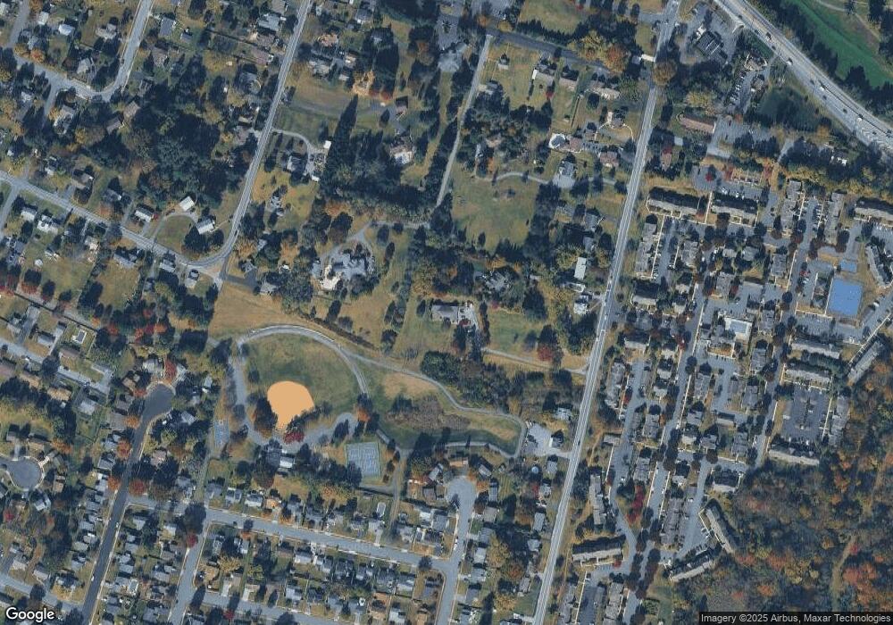
Map
Nearby Homes
- 4981 Persimmon Dr
- 318 Fairview Rd
- 0 S Fairway Dr Unit PABK2068302
- 4652 Pheasant Run N
- 4910 Dunham Dr
- 132 Rugby Rd
- 30 Estates Dr
- 124 Fairmount Ave
- 105 Fairmount Ave
- 69-3 Azalea Way
- 17 4 Cranberry
- 11 Valley Dr
- 21-4 Cranberry Ridge Unit 4
- 11 1 Cranberry Ridge
- 99 Constitution Ave
- 45-8 Holly Dr
- 312 Hampshire Ave
- 1 Fairway Dr
- 2 Fairway Dr
- 217 Knollwood Ln
- 4966 Hafer Rd
- 4960 Hafer Rd
- 212 Lorane Rd
- 206 Lorane Rd
- 200 Lorane Rd
- 190 Lorane Rd
- 300 Pomander Ave
- 304 Lorane Rd
- 320 Pomander Ave
- 305 Pomander Ave
- 310 Lorane Rd
- 180 Lorane Rd
- 120 Lorane Rd
- 327 Gibraltar Rd
- 299 Gibraltar Rd
- 316 Lorane Rd
- 340 Pomander Ave
- 110 Lorane Rd
- 325 Pomander Ave
- 315 Gibraltar Rd
Your Personal Tour Guide
Ask me questions while you tour the home.