Estimated Value: $543,132 - $598,000
4
Beds
3
Baths
3,266
Sq Ft
$174/Sq Ft
Est. Value
About This Home
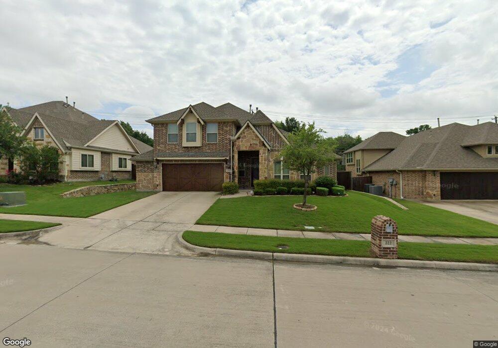
This home is located at 222 Lyndhurst Dr, Wylie, TX 75098 and is currently estimated at $568,283, approximately $173 per square foot. 222 Lyndhurst Dr is a home with nearby schools including P M Akin Elementary School, AB Harrison Intermediate School, and Grady Burnett J High School.
Ownership History
Date
Name
Owned For
Owner Type
Purchase Details
Closed on
Jan 30, 2014
Sold by
Bloomfield Homes Lp
Bought by
Hicks Lorenzo E
Current Estimated Value
Home Financials for this Owner
Home Financials are based on the most recent Mortgage that was taken out on this home.
Original Mortgage
$270,270
Outstanding Balance
$205,419
Interest Rate
4.49%
Mortgage Type
New Conventional
Estimated Equity
$362,864
Create a Home Valuation Report for This Property
The Home Valuation Report is an in-depth analysis detailing your home's value as well as a comparison with similar homes in the area
Home Values in the Area
Average Home Value in this Area
Purchase History
| Date | Buyer | Sale Price | Title Company |
|---|---|---|---|
| Hicks Lorenzo E | -- | Fatco |
Source: Public Records
Mortgage History
| Date | Status | Borrower | Loan Amount |
|---|---|---|---|
| Open | Hicks Lorenzo E | $270,270 |
Source: Public Records
Tax History Compared to Growth
Tax History
| Year | Tax Paid | Tax Assessment Tax Assessment Total Assessment is a certain percentage of the fair market value that is determined by local assessors to be the total taxable value of land and additions on the property. | Land | Improvement |
|---|---|---|---|---|
| 2025 | $9,287 | $561,760 | $130,000 | $431,760 |
| 2024 | $9,287 | $538,277 | $130,000 | $436,753 |
| 2023 | $9,287 | $489,343 | $110,000 | $447,536 |
| 2022 | $9,760 | $444,857 | $110,000 | $391,067 |
| 2021 | $9,276 | $394,263 | $80,000 | $314,263 |
| 2020 | $9,031 | $363,718 | $80,000 | $283,718 |
| 2019 | $9,885 | $376,161 | $80,000 | $296,161 |
| 2018 | $9,581 | $355,749 | $70,000 | $285,749 |
| 2017 | $9,349 | $347,145 | $70,000 | $277,145 |
| 2016 | $9,270 | $333,645 | $70,000 | $263,645 |
| 2015 | $4,315 | $307,811 | $70,000 | $237,811 |
Source: Public Records
Map
Nearby Homes
- 1209 Surrey Cir
- 306 Foxwood Ct
- 1056 Fairview Dr
- 312 Maltese Cir
- 409 Cedar Ridge Dr
- 213 N West A Allen Blvd
- 107 Windy Knoll Ln
- 825 Foxwood Ln
- 216 Cedar Ridge St
- 1115 Nighthawk Dr
- 304 Hawthorn Dr
- 1201 E Stone Rd
- 820 Foxwood Ln
- 825 Forest Edge Ln
- 310 Hawthorn Dr
- 811 Forest Edge Ln
- 407 Sparrow Dr
- 104 Rushcreek Dr
- 114 Liberty Dr
- 1320 Cedar Branch Dr
- 220 Lyndhurst Dr
- 224 Lyndhurst Dr
- 218 Lyndhurst Dr
- 207 S W a Allen Blvd
- 209 S W a Allen Blvd
- 205 S W a Allen Blvd
- 226 Lyndhurst Dr
- 221 Lyndhurst Dr
- 223 Lyndhurst Dr
- 216 Lyndhurst Dr
- 219 Lyndhurst Dr
- 225 Lyndhurst Dr
- 203 S W a Allen Blvd
- 217 Lyndhurst Dr
- 215 S W a Allen Blvd
- 214 Lyndhurst Dr
- 201 S W a Allen Blvd
- 1210 Surrey Cir
- 212 Gatwick Ct
- 215 Lyndhurst Dr