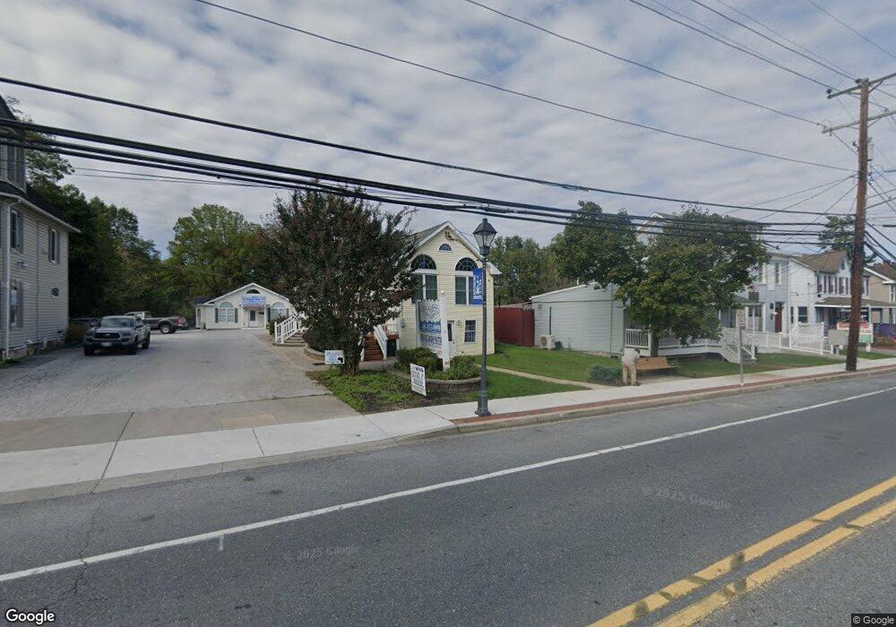
222 Main St Reisterstown, MD 21136
Estimated Value: $602,918
--
Bed
--
Bath
2,824
Sq Ft
$213/Sq Ft
Est. Value
About This Home
This home is located at 222 Main St, Reisterstown, MD 21136 and is currently estimated at $602,918, approximately $213 per square foot. 222 Main St is a home located in Baltimore County with nearby schools including Franklin Elementary School, Franklin Middle, and Franklin High.
Ownership History
Date
Name
Owned For
Owner Type
Purchase Details
Closed on
May 6, 1999
Sold by
Mazzuca Anthony R
Bought by
Feinberg Robert and Feinberg Susan
Current Estimated Value
Purchase Details
Closed on
May 17, 1994
Sold by
Cavey Anna I
Bought by
Mazzuca Anthony R
Home Financials for this Owner
Home Financials are based on the most recent Mortgage that was taken out on this home.
Original Mortgage
$145,000
Interest Rate
7.93%
Mortgage Type
Commercial
Create a Home Valuation Report for This Property
The Home Valuation Report is an in-depth analysis detailing your home's value as well as a comparison with similar homes in the area
Home Values in the Area
Average Home Value in this Area
Purchase History
| Date | Buyer | Sale Price | Title Company |
|---|---|---|---|
| Feinberg Robert | $195,000 | -- | |
| Mazzuca Anthony R | $150,000 | -- |
Source: Public Records
Mortgage History
| Date | Status | Borrower | Loan Amount |
|---|---|---|---|
| Previous Owner | Mazzuca Anthony R | $145,000 |
Source: Public Records
Tax History Compared to Growth
Tax History
| Year | Tax Paid | Tax Assessment Tax Assessment Total Assessment is a certain percentage of the fair market value that is determined by local assessors to be the total taxable value of land and additions on the property. | Land | Improvement |
|---|---|---|---|---|
| 2025 | $6,392 | $452,600 | $156,100 | $296,500 |
| 2024 | $6,392 | $439,200 | $0 | $0 |
| 2023 | $3,180 | $425,800 | $0 | $0 |
| 2022 | $7,074 | $412,400 | $156,100 | $256,300 |
| 2021 | $5,511 | $383,933 | $0 | $0 |
| 2020 | $5,511 | $355,467 | $0 | $0 |
| 2019 | $4,794 | $327,000 | $156,100 | $170,900 |
| 2018 | $5,049 | $327,000 | $156,100 | $170,900 |
| 2017 | $5,453 | $327,000 | $0 | $0 |
| 2016 | $4,358 | $330,500 | $0 | $0 |
| 2015 | $4,358 | $323,933 | $0 | $0 |
| 2014 | $4,358 | $317,367 | $0 | $0 |
Source: Public Records
Map
Nearby Homes
- 19 Bond Ave
- 10 Pennyborough Ct
- 28 Goldsborough Way
- 426 Main St
- 123 Glyndon Trace Dr
- 65A Bond Ave
- 27 Farm Gate Way
- 209 Bentley Hill Dr
- 4 Wolf Ave
- 15 Aldyth Ave
- 225 Northway Rd
- 308 Sacred Heart Ln
- 15 Gloucester Ct
- 7 Butler Rd
- 131 Westminster Rd
- 1 Forest Glen Ct
- 409 Fox View Ct
- 13943 B Old Hanover Rd
- 13943 D Old Hanover Rd
- 13943 C Old Hanover Rd
- 218 Main St
- 208 Main St
- 230 Main St
- 214 Main St
- 234 Main St
- 218 Reisterstown Rd
- 202 Main St
- 202 Reisterstown Rd
- 238 Main St
- 231 Reisterstown Rd
- 237 Reisterstown Rd
- 200 Main St
- 217 Main St
- 227 Main St
- 211 Main St Unit REAR
- 209 Main St
- 209 Main St Unit B
- 223 Main St
- 0 Bond Rd Unit 1006677414
- 0 Bond Rd Unit 1006563588