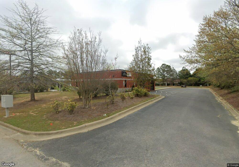
222 Mast Dr Garner, NC 27529
Cleveland NeighborhoodEstimated Value: $912,202
--
Bed
--
Bath
3,120
Sq Ft
$292/Sq Ft
Est. Value
About This Home
This home is located at 222 Mast Dr, Garner, NC 27529 and is currently estimated at $912,202, approximately $292 per square foot. 222 Mast Dr is a home located in Johnston County with nearby schools including West View Elementary School, Cleveland Middle School, and Cleveland High School.
Ownership History
Date
Name
Owned For
Owner Type
Purchase Details
Closed on
Nov 23, 2020
Sold by
Btp Properties Llc
Bought by
Estrada Insurance Agency Llc
Current Estimated Value
Home Financials for this Owner
Home Financials are based on the most recent Mortgage that was taken out on this home.
Original Mortgage
$504,000
Outstanding Balance
$448,488
Interest Rate
2.8%
Mortgage Type
Commercial
Estimated Equity
$463,714
Purchase Details
Closed on
Jul 30, 2002
Sold by
Btp Properties Llc
Bought by
I-40 Development Co Llc
Create a Home Valuation Report for This Property
The Home Valuation Report is an in-depth analysis detailing your home's value as well as a comparison with similar homes in the area
Home Values in the Area
Average Home Value in this Area
Purchase History
| Date | Buyer | Sale Price | Title Company |
|---|---|---|---|
| Estrada Insurance Agency Llc | $630,000 | None Available | |
| I-40 Development Co Llc | $155,000 | -- |
Source: Public Records
Mortgage History
| Date | Status | Borrower | Loan Amount |
|---|---|---|---|
| Open | Estrada Insurance Agency Llc | $504,000 |
Source: Public Records
Tax History Compared to Growth
Tax History
| Year | Tax Paid | Tax Assessment Tax Assessment Total Assessment is a certain percentage of the fair market value that is determined by local assessors to be the total taxable value of land and additions on the property. | Land | Improvement |
|---|---|---|---|---|
| 2025 | $4,685 | $737,810 | $480,900 | $256,910 |
| 2024 | $4,203 | $518,880 | $300,560 | $218,320 |
| 2023 | $4,060 | $518,880 | $300,560 | $218,320 |
| 2022 | $4,268 | $518,880 | $300,560 | $218,320 |
| 2021 | $4,268 | $518,880 | $300,560 | $218,320 |
| 2020 | $4,320 | $518,880 | $300,560 | $218,320 |
| 2019 | $4,320 | $518,880 | $300,560 | $218,320 |
| 2018 | $4,405 | $516,740 | $300,560 | $216,180 |
| 2017 | $4,405 | $516,740 | $300,560 | $216,180 |
| 2016 | $4,405 | $516,740 | $300,560 | $216,180 |
| 2015 | $4,405 | $516,740 | $300,560 | $216,180 |
| 2014 | $4,405 | $516,740 | $300,560 | $216,180 |
Source: Public Records
Map
Nearby Homes
- 107 Marsh Creek Dr
- 198 Outwater Ridge Dr
- 15 Crest Cir
- 35 Crosby Ln
- 184 Marsh Creek Dr
- 225 Marsh Creek Dr
- 171 Davelyn Ct
- 114 Boone Trail
- 74 Good Morning Ln
- 500 Oak Branch Trail
- 401 Oak Branch Trail
- 182 Ford Meadows Dr
- 35 Capewood Ct
- 511 Summerwind Plantation Dr
- 63 Capewood Ct
- 230 Nutmeg Ln
- 267 Dando St
- 354 Dando St
- 165 Thunder Ridge Dr
- 106 Village Ct
- 127 Mast Dr
- 464 Royal Oak Ln Unit 100
- 0 Technology Dr
- 425 Technology Dr
- 225 Glen Rd
- 201 B Glen Rd
- 201 Glen Rd
- 201 Glen Rd Unit 2
- 201 Glen Rd
- Hwy 42 Glen Rd
- 0 Glen Rd
- 160 Glen Rd
- 386 Glen Rd
- 133 Glen Rd
- 343 Technology Dr
- 329 Glen Rd
- 61 Technology Dr
- Lot 56 Summerwind Plantation Dr
- 152 Summerwind Plantation Dr
- 43 Cedar Hollow Dr Unit 28