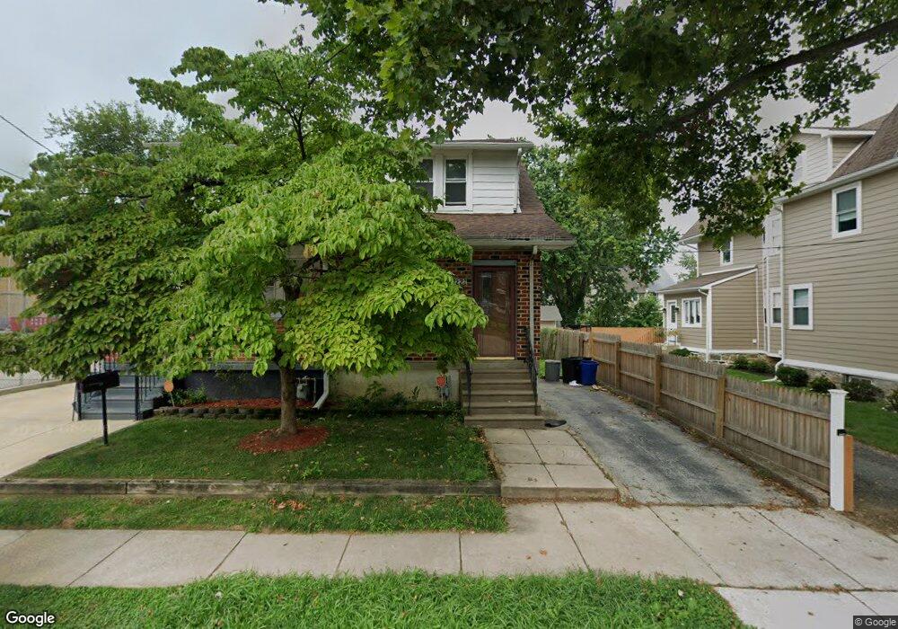
222 Melrose Ave Lansdowne, PA 19050
Estimated Value: $214,003 - $241,000
3
Beds
2
Baths
1,057
Sq Ft
$216/Sq Ft
Est. Value
About This Home
This home is located at 222 Melrose Ave, Lansdowne, PA 19050 and is currently estimated at $228,501, approximately $216 per square foot. 222 Melrose Ave is a home located in Delaware County with nearby schools including East Lansdowne Elementary School, Penn Wood Middle School, and Penn Wood High School - Cypress Street Campus.
Ownership History
Date
Name
Owned For
Owner Type
Purchase Details
Closed on
May 30, 2003
Sold by
Oconnor Michael J and Oconnor Patricia
Bought by
Goodwin Jada R
Current Estimated Value
Home Financials for this Owner
Home Financials are based on the most recent Mortgage that was taken out on this home.
Original Mortgage
$79,868
Interest Rate
5.83%
Mortgage Type
FHA
Create a Home Valuation Report for This Property
The Home Valuation Report is an in-depth analysis detailing your home's value as well as a comparison with similar homes in the area
Home Values in the Area
Average Home Value in this Area
Purchase History
| Date | Buyer | Sale Price | Title Company |
|---|---|---|---|
| Goodwin Jada R | $80,500 | Stewart Title Guaranty Compa |
Source: Public Records
Mortgage History
| Date | Status | Borrower | Loan Amount |
|---|---|---|---|
| Closed | Goodwin Jada R | $79,868 |
Source: Public Records
Tax History Compared to Growth
Tax History
| Year | Tax Paid | Tax Assessment Tax Assessment Total Assessment is a certain percentage of the fair market value that is determined by local assessors to be the total taxable value of land and additions on the property. | Land | Improvement |
|---|---|---|---|---|
| 2025 | $4,586 | $107,330 | $44,330 | $63,000 |
| 2024 | $4,586 | $107,330 | $44,330 | $63,000 |
| 2023 | $3,429 | $107,330 | $44,330 | $63,000 |
| 2022 | $4,136 | $107,330 | $44,330 | $63,000 |
| 2021 | $6,167 | $107,330 | $44,330 | $63,000 |
| 2020 | $4,043 | $61,390 | $19,180 | $42,210 |
| 2019 | $3,976 | $61,390 | $19,180 | $42,210 |
| 2018 | $3,923 | $61,390 | $0 | $0 |
| 2017 | $3,723 | $61,390 | $0 | $0 |
| 2016 | $337 | $61,390 | $0 | $0 |
| 2015 | $337 | $61,390 | $0 | $0 |
| 2014 | $337 | $61,390 | $0 | $0 |
Source: Public Records
Map
Nearby Homes
- 319 E Essex Ave
- 317 E Essex Ave
- 315 E Essex Ave
- 226 E Greenwood Ave
- 7229 Clinton Rd
- 7216 Clinton Rd
- 209 E Greenwood Ave
- 230 Wynnewood Ave
- 178 N Union Ave
- 669 Long Ln
- 726 Copley Rd
- 404 Croyden Rd
- 7247 Guilford Rd
- 7162 Radbourne Rd
- 239 N Maple Ave
- 608 Pembroke Ave
- 7155 Radbourne Rd
- 243 Coverly Rd
- 7129 Seaford Rd
- 164 Woodland Ave
- 220 Melrose Ave
- 228 Melrose Ave
- 230 Melrose Ave
- 232 Melrose Ave
- 227 Hirst Ave
- 234 Melrose Ave
- 229 Hirst Ave
- 231 Hirst Ave
- 225 Melrose Ave
- 233 Hirst Ave
- 229 Melrose Ave
- 215 Melrose Ave
- 233 Melrose Ave
- 237 Hirst Ave
- 213 Melrose Ave
- 213 Melrose Ave
- 237 Melrose Ave
- 205 Melrose Ave
- 241 Hirst Ave
- 241 Melrose Ave