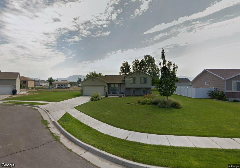
222 N 4875 W West Point, UT 84015
Estimated Value: $478,000 - $622,000
3
Beds
3
Baths
1,855
Sq Ft
$291/Sq Ft
Est. Value
About This Home
This home is located at 222 N 4875 W, West Point, UT 84015 and is currently estimated at $540,573, approximately $291 per square foot. 222 N 4875 W is a home located in Davis County with nearby schools including West Point School, West Point Junior High School, and Syracuse High School.
Ownership History
Date
Name
Owned For
Owner Type
Purchase Details
Closed on
Aug 6, 2004
Sold by
S M Carter Co
Bought by
Horne Jason R and Horne Lindsay K
Current Estimated Value
Purchase Details
Closed on
Apr 16, 2003
Sold by
Mark Higley Construction Lc and Boothe Gordon
Bought by
Paice Farms Llc
Home Financials for this Owner
Home Financials are based on the most recent Mortgage that was taken out on this home.
Original Mortgage
$850,000
Interest Rate
6.22%
Mortgage Type
Seller Take Back
Create a Home Valuation Report for This Property
The Home Valuation Report is an in-depth analysis detailing your home's value as well as a comparison with similar homes in the area
Home Values in the Area
Average Home Value in this Area
Purchase History
| Date | Buyer | Sale Price | Title Company |
|---|---|---|---|
| Horne Jason R | -- | Security Title Company | |
| Paice Farms Llc | -- | Heritage West Title Insuranc |
Source: Public Records
Mortgage History
| Date | Status | Borrower | Loan Amount |
|---|---|---|---|
| Previous Owner | Paice Farms Llc | $850,000 |
Source: Public Records
Tax History
| Year | Tax Paid | Tax Assessment Tax Assessment Total Assessment is a certain percentage of the fair market value that is determined by local assessors to be the total taxable value of land and additions on the property. | Land | Improvement |
|---|---|---|---|---|
| 2025 | $2,462 | $226,600 | $114,087 | $112,513 |
| 2024 | $2,369 | $218,900 | $102,706 | $116,194 |
| 2023 | $2,301 | $391,000 | $128,378 | $262,622 |
| 2022 | $2,465 | $229,350 | $66,877 | $162,473 |
| 2021 | $2,271 | $316,000 | $104,108 | $211,892 |
| 2020 | $1,986 | $272,000 | $87,530 | $184,470 |
| 2019 | $1,934 | $261,000 | $84,900 | $176,100 |
| 2018 | $1,776 | $236,000 | $84,748 | $151,252 |
| 2016 | $1,538 | $107,195 | $32,798 | $74,397 |
| 2015 | $1,548 | $102,245 | $32,798 | $69,447 |
| 2014 | $1,436 | $95,975 | $32,798 | $63,177 |
| 2013 | -- | $100,321 | $32,075 | $68,246 |
Source: Public Records
Map
Nearby Homes
- 113 N 4950 W
- 4669 W 75 N
- 4857 Pintail Way
- 477 N 4500 W
- 4901 W 650 N
- 120 N 4325 W
- 4362 West St Unit 106
- 4358 West St Unit 105
- 356 S 4300 W Unit 611
- 364 S 4300 W Unit 610
- 372 S 4300 W Unit 609
- 4260 W 350 S
- 388 S 4300 W Unit 607
- 396 S 4300 W
- 387 S 4250 W
- 1156 N 5150 W
- 696 S 4500 W
- 114 3830 W
- 96 3830 W
- 148 N 3830 W
- 188 N 4875 W
- 264 N 4875 W
- 4830 W 175 N
- 4830 W 175 N Unit 23
- 4117 Morning Dove Dr Unit 43
- 221 N 4875 W
- 4888 W Mallard Dr Unit 11
- 4888 W Mallard Dr
- 4888 W Mallard Dr
- 193 N 4875 W
- 4861 W 175 N
- 4798 W 175 N
- 4865 W 300 N
- 4798 Morning Dove Dr
- 4859 W 300 N
- 4902 W 250 N
- 4883 Morning Dove Dr
- 4883 Morning Dove Dr
- 4883 W 175 N
- 4831 Morning Dove Dr
Your Personal Tour Guide
Ask me questions while you tour the home.