222 N 7th St Sand Lake, MI 49343
Estimated Value: $211,000 - $282,000
3
Beds
2
Baths
1
Sq Ft
$246,987/Sq Ft
Est. Value
About This Home
This home is located at 222 N 7th St, Sand Lake, MI 49343 and is currently estimated at $246,987, approximately $246,987 per square foot. 222 N 7th St is a home located in Montcalm County with nearby schools including Tri County Middle School and Tri County Senior High School.
Ownership History
Date
Name
Owned For
Owner Type
Purchase Details
Closed on
May 9, 2022
Sold by
Tillotson Judy F
Bought by
Tillotson Judy F and Rodenhouse Brandy
Current Estimated Value
Purchase Details
Closed on
Dec 31, 1996
Sold by
Taylor Steven C and Taylor Karla
Bought by
Tillotson Raymond H and Tillotson Judy F
Purchase Details
Closed on
Apr 12, 1991
Sold by
Taylor Steven C and Taylor Karla
Purchase Details
Closed on
Mar 4, 1991
Sold by
Taylor Steven C and Taylor Karla
Purchase Details
Closed on
Feb 1, 1991
Create a Home Valuation Report for This Property
The Home Valuation Report is an in-depth analysis detailing your home's value as well as a comparison with similar homes in the area
Home Values in the Area
Average Home Value in this Area
Purchase History
| Date | Buyer | Sale Price | Title Company |
|---|---|---|---|
| Tillotson Judy F | -- | None Listed On Document | |
| Tillotson Raymond H | $64,400 | -- | |
| -- | $47,900 | -- | |
| -- | $47,900 | -- | |
| -- | $47,900 | -- |
Source: Public Records
Tax History Compared to Growth
Tax History
| Year | Tax Paid | Tax Assessment Tax Assessment Total Assessment is a certain percentage of the fair market value that is determined by local assessors to be the total taxable value of land and additions on the property. | Land | Improvement |
|---|---|---|---|---|
| 2025 | $757 | $91,000 | $0 | $0 |
| 2024 | $770 | $61,000 | $0 | $0 |
| 2023 | -- | $49,400 | $0 | $0 |
| 2022 | -- | $46,100 | $0 | $0 |
| 2021 | -- | $44,200 | $0 | $0 |
| 2020 | -- | -- | $0 | $0 |
| 2019 | -- | -- | $0 | $0 |
| 2018 | -- | -- | $0 | $0 |
| 2017 | -- | -- | $0 | $0 |
| 2016 | -- | -- | $0 | $0 |
| 2015 | -- | -- | $0 | $0 |
| 2014 | -- | -- | $0 | $0 |
Source: Public Records
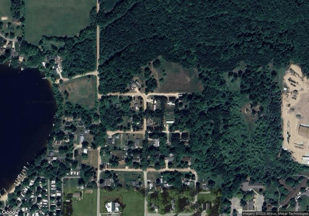
Map
Nearby Homes
- 22133 Leota Dr
- 280 Pine St NE
- 250 George K Dr
- 312 E Maple St NE
- 17876 Ritchie Ave
- 411 E Lake St
- 825 Sand Lake St NE
- 22681 Scott F Dr Unit 19
- 6665 E Lake St
- 16450 Ritchie Ave NE
- 491 Bitter Creek Ln
- 302 Grand St
- 16303 Ritchie Ave NE
- 2625 Elmwood Dr
- 2582 W Bay Dr
- 5501 Egner St NE
- Dagett Hillis Rd
- VL Kimball Rd
- 7705 20 Mile Rd NE
- 6767 Wildwood Ct