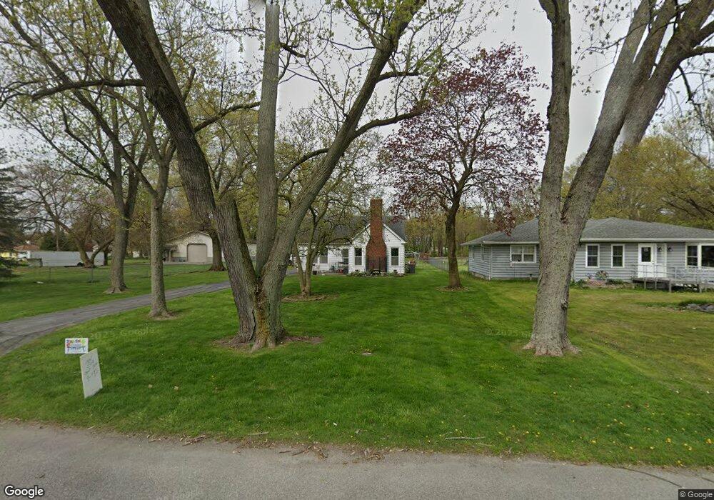
222 N Hobart Rd Hobart, IN 46342
Estimated Value: $240,378 - $280,000
3
Beds
1
Bath
1,936
Sq Ft
$132/Sq Ft
Est. Value
About This Home
This home is located at 222 N Hobart Rd, Hobart, IN 46342 and is currently estimated at $255,095, approximately $131 per square foot. 222 N Hobart Rd is a home located in Lake County with nearby schools including Hobart High School, Trinity Lutheran School, and Hobart Baptist School.
Ownership History
Date
Name
Owned For
Owner Type
Purchase Details
Closed on
Feb 29, 2016
Sold by
Mole Frederick D and Mole Diane
Bought by
Mole Frederick D and Mole Diane
Current Estimated Value
Home Financials for this Owner
Home Financials are based on the most recent Mortgage that was taken out on this home.
Original Mortgage
$58,000
Interest Rate
3.79%
Mortgage Type
New Conventional
Create a Home Valuation Report for This Property
The Home Valuation Report is an in-depth analysis detailing your home's value as well as a comparison with similar homes in the area
Home Values in the Area
Average Home Value in this Area
Purchase History
| Date | Buyer | Sale Price | Title Company |
|---|---|---|---|
| Mole Frederick D | -- | None Available |
Source: Public Records
Mortgage History
| Date | Status | Borrower | Loan Amount |
|---|---|---|---|
| Closed | Mole Frederick D | $58,000 |
Source: Public Records
Tax History Compared to Growth
Tax History
| Year | Tax Paid | Tax Assessment Tax Assessment Total Assessment is a certain percentage of the fair market value that is determined by local assessors to be the total taxable value of land and additions on the property. | Land | Improvement |
|---|---|---|---|---|
| 2024 | $6,638 | $162,600 | $37,200 | $125,400 |
| 2023 | $1,904 | $162,600 | $37,200 | $125,400 |
| 2022 | $1,892 | $159,600 | $37,200 | $122,400 |
| 2021 | $1,779 | $149,400 | $37,200 | $112,200 |
| 2020 | $1,706 | $144,200 | $37,200 | $107,000 |
| 2019 | $1,938 | $146,100 | $37,200 | $108,900 |
| 2018 | $1,974 | $139,300 | $37,200 | $102,100 |
| 2017 | $1,841 | $127,900 | $46,500 | $81,400 |
| 2016 | $1,726 | $127,400 | $46,500 | $80,900 |
| 2014 | $1,911 | $142,800 | $46,500 | $96,300 |
| 2013 | $1,862 | $140,200 | $46,500 | $93,700 |
Source: Public Records
Map
Nearby Homes
- 315 N Hobart Rd
- 249 N Liberty St
- 240 Rush Ct
- 401 N Joliet St
- 1891 Cooke St
- 1321 Jackson St
- 33 N Illinois St
- 2080 E Rand St
- 1026 Lillian St
- 199 N Union St
- 36 N Linda St
- 54 N Michigan Ave
- 220 S Linda St
- 429 S Joliet St
- 2913 Drexel Dr
- 220 N Lake Park Ave
- 2 W Old Ridge Rd
- 133 Cressmoor Blvd
- 127 Cressmoor Blvd
- 121 Cressmoor Blvd
- 232 N Hobart Rd
- 260 N Hobart Rd
- 210 N Hobart Rd
- 247 N Hobart Rd
- 231 N Hobart Rd
- 255 N Hobart Rd
- 261 N Hobart Rd
- 223 N Hobart Rd
- 306 N Hobart Rd
- 1508 E Hickey St
- 200 N Hobart Rd
- 1508 Division St
- 1416 E Hickey St
- 301 N Hobart Rd
- 211 N Hobart Rd
- 1500 Division St
- 219 N Liberty St
- 1500 E Hickey St
- 1476 Division St
- 229 N Liberty St