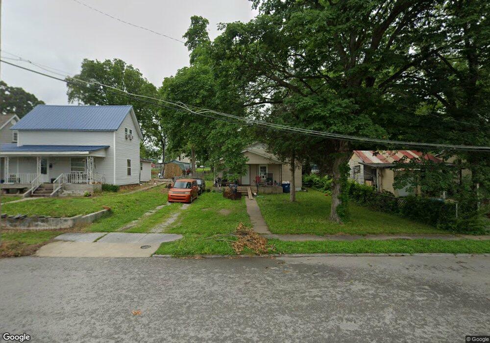
222 N Mcgregor St Carthage, MO 64836
Estimated Value: $96,147 - $139,000
2
Beds
1
Bath
1,000
Sq Ft
$124/Sq Ft
Est. Value
About This Home
This home is located at 222 N Mcgregor St, Carthage, MO 64836 and is currently estimated at $124,037, approximately $124 per square foot. 222 N Mcgregor St is a home located in Jasper County with nearby schools including Carthage High School, Victory Academy, and St. Ann's Catholic School.
Ownership History
Date
Name
Owned For
Owner Type
Purchase Details
Closed on
Aug 19, 2015
Sold by
Barrios Oscar R and Arciga Olga
Bought by
Lopez Clara L
Current Estimated Value
Purchase Details
Closed on
Dec 29, 2005
Sold by
Cameron Paul S and Cameron Cheryl Lynn
Bought by
Barrios Oscar R and Arciga Olga
Home Financials for this Owner
Home Financials are based on the most recent Mortgage that was taken out on this home.
Original Mortgage
$21,000
Interest Rate
6.3%
Mortgage Type
Fannie Mae Freddie Mac
Create a Home Valuation Report for This Property
The Home Valuation Report is an in-depth analysis detailing your home's value as well as a comparison with similar homes in the area
Home Values in the Area
Average Home Value in this Area
Purchase History
| Date | Buyer | Sale Price | Title Company |
|---|---|---|---|
| Lopez Clara L | -- | -- | |
| Barrios Oscar R | -- | -- |
Source: Public Records
Mortgage History
| Date | Status | Borrower | Loan Amount |
|---|---|---|---|
| Previous Owner | Barrios Oscar R | $21,000 |
Source: Public Records
Tax History Compared to Growth
Tax History
| Year | Tax Paid | Tax Assessment Tax Assessment Total Assessment is a certain percentage of the fair market value that is determined by local assessors to be the total taxable value of land and additions on the property. | Land | Improvement |
|---|---|---|---|---|
| 2024 | $455 | $8,840 | $580 | $8,260 |
| 2023 | $455 | $8,840 | $580 | $8,260 |
| 2022 | $443 | $8,640 | $580 | $8,060 |
| 2021 | $438 | $8,640 | $580 | $8,060 |
| 2020 | $423 | $7,990 | $580 | $7,410 |
| 2019 | $424 | $7,990 | $580 | $7,410 |
| 2018 | $435 | $8,230 | $0 | $0 |
| 2017 | $437 | $8,230 | $0 | $0 |
| 2016 | $290 | $5,490 | $0 | $0 |
| 2015 | $290 | $5,490 | $0 | $0 |
| 2014 | $290 | $5,490 | $0 | $0 |
Source: Public Records
Map
Nearby Homes
- 527 Olive St
- 703 W Central Tract 2
- 417 S Mcgregor St
- 624 S Orner St
- 520 W Chestnut St
- 910 S Mcgregor St
- 903 S Main St
- 1105 Walnut St
- 1014 S Main St
- 1023 Forest St
- 112 E 11th St
- 1324 Olive St
- 1112 S Garrison Ave
- 1150 S Main St
- 1003 Orchard St
- 1127 S Garrison Ave
- 1209 S Garrison Ave
- 1222 Jersey St
- 1204 Grand Ave
- 722 E Budlong St
- 226 N Mcgregor St
- 424 W Vine St
- 214 N Mcgregor St
- 218 N Mcgregor St
- 418 W Vine St
- 208 N Mcgregor St
- 206 N Mcgregor St
- 223 N Garrison Ave
- 219 N Garrison Ave
- 431 W Vine St
- 419 W Mound St
- 215 N Garrison Ave
- 205 N Garrison Ave
- 231 N Garrison Ave
- 200 N Mcgregor St
- 211 N Garrison Ave
- 310 N Mcgregor St
- 307 N Garrison Ave
- 314 N Mcgregor St
- 303 N Garrison Ave