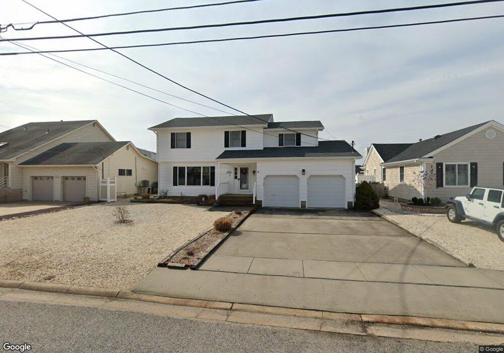
222 Newark Ave Lavallette, NJ 08735
Estimated Value: $1,650,000 - $3,477,000
5
Beds
3
Baths
2,791
Sq Ft
$795/Sq Ft
Est. Value
About This Home
This home is located at 222 Newark Ave, Lavallette, NJ 08735 and is currently estimated at $2,218,271, approximately $794 per square foot. 222 Newark Ave is a home located in Ocean County with nearby schools including Lavallette Elementary School.
Ownership History
Date
Name
Owned For
Owner Type
Purchase Details
Closed on
Jul 1, 1999
Sold by
Rall Harold F and Rall Margaret J
Bought by
Jacobson Charles C and Jacobson Maureen E
Current Estimated Value
Home Financials for this Owner
Home Financials are based on the most recent Mortgage that was taken out on this home.
Original Mortgage
$70,000
Outstanding Balance
$19,035
Interest Rate
7.19%
Mortgage Type
Stand Alone First
Estimated Equity
$2,199,236
Create a Home Valuation Report for This Property
The Home Valuation Report is an in-depth analysis detailing your home's value as well as a comparison with similar homes in the area
Home Values in the Area
Average Home Value in this Area
Purchase History
| Date | Buyer | Sale Price | Title Company |
|---|---|---|---|
| Jacobson Charles C | $420,000 | Chicago Title Insurance Co |
Source: Public Records
Mortgage History
| Date | Status | Borrower | Loan Amount |
|---|---|---|---|
| Open | Jacobson Charles C | $70,000 |
Source: Public Records
Tax History Compared to Growth
Tax History
| Year | Tax Paid | Tax Assessment Tax Assessment Total Assessment is a certain percentage of the fair market value that is determined by local assessors to be the total taxable value of land and additions on the property. | Land | Improvement |
|---|---|---|---|---|
| 2025 | $7,733 | $817,400 | $470,800 | $346,600 |
| 2024 | $7,504 | $817,400 | $470,800 | $346,600 |
| 2023 | $6,981 | $817,400 | $470,800 | $346,600 |
| 2022 | $6,981 | $817,400 | $470,800 | $346,600 |
| 2021 | $6,752 | $817,400 | $470,800 | $346,600 |
| 2020 | $6,711 | $817,400 | $470,800 | $346,600 |
| 2019 | $6,853 | $700,000 | $452,800 | $247,200 |
| 2018 | $6,797 | $700,000 | $452,800 | $247,200 |
| 2017 | $6,867 | $700,000 | $452,800 | $247,200 |
| 2016 | $6,643 | $700,000 | $452,800 | $247,200 |
| 2015 | $6,503 | $700,000 | $452,800 | $247,200 |
| 2014 | $6,531 | $700,000 | $452,800 | $247,200 |
Source: Public Records
Map
Nearby Homes
- 189 Pershing Blvd
- 108 Dickman Dr
- 240 Newark Ave
- 152 Pershing Blvd
- 153 Pershing Blvd
- 151 Pershing Blvd
- 229 2nd Ave
- 2033 Route 35 N Unit 3
- 2033 New Jersey 35
- 2101 Grand Central Ave Unit 3
- 2030 New Jersey 35 Unit 8
- 119 New Brunswick Ave
- 113 New Brunswick Ave
- 7 Nichols Ave
- 2 2nd Ave Unit 15
- 1 Diane Ln Unit B
- 1 Diane Ln Unit A
- 2400 Oceanfront
- 16 5th Ave
- 1707 Bay Blvd Unit 4
- 224 Newark Ave
- 218 Newark Ave
- 226 Newark Ave
- 178 Pershing Blvd
- 180 Pershing Blvd
- 216 Newark Ave
- 176 Pershing Blvd
- 228 Newark Ave
- 182 Pershing Blvd
- 184 Pershing Blvd
- 217 Newark Ave
- 174 Pershing Blvd
- 215 Newark Ave
- 219 Newark Ave
- 213 Newark Ave
- 214 Newark Ave
- 230 Newark Ave
- 186 Pershing Blvd
- 211 Newark Ave
- 209 Newark Ave