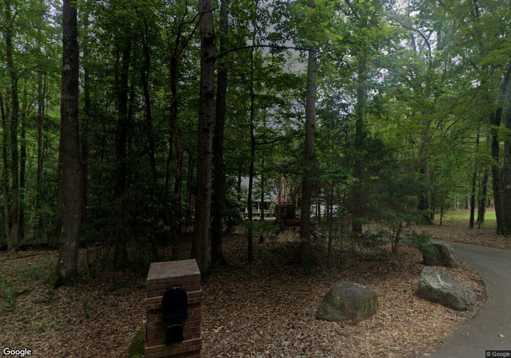
222 Newton Dr Forsyth, GA 31029
Estimated Value: $464,000 - $774,000
--
Bed
8
Baths
5,972
Sq Ft
$103/Sq Ft
Est. Value
About This Home
This home is located at 222 Newton Dr, Forsyth, GA 31029 and is currently estimated at $612,328, approximately $102 per square foot. 222 Newton Dr is a home located in Monroe County with nearby schools including T.G. Scott Elementary School, Mary Persons High School, and Lighthouse Academy.
Ownership History
Date
Name
Owned For
Owner Type
Purchase Details
Closed on
Apr 15, 2024
Sold by
Bazemore Richard L
Bought by
Bazemore Janne B
Current Estimated Value
Purchase Details
Closed on
Mar 27, 2000
Bought by
Bazemore Janne B and Bazemore Richard L
Create a Home Valuation Report for This Property
The Home Valuation Report is an in-depth analysis detailing your home's value as well as a comparison with similar homes in the area
Home Values in the Area
Average Home Value in this Area
Purchase History
| Date | Buyer | Sale Price | Title Company |
|---|---|---|---|
| Bazemore Janne B | -- | -- | |
| Bazemore Janne B | -- | -- |
Source: Public Records
Tax History Compared to Growth
Tax History
| Year | Tax Paid | Tax Assessment Tax Assessment Total Assessment is a certain percentage of the fair market value that is determined by local assessors to be the total taxable value of land and additions on the property. | Land | Improvement |
|---|---|---|---|---|
| 2024 | $6,682 | $232,960 | $19,480 | $213,480 |
| 2023 | $6,431 | $197,400 | $19,480 | $177,920 |
| 2022 | $5,508 | $197,400 | $19,480 | $177,920 |
| 2021 | $5,685 | $197,400 | $19,480 | $177,920 |
| 2020 | $5,913 | $197,400 | $19,480 | $177,920 |
| 2019 | $5,955 | $197,400 | $19,480 | $177,920 |
| 2018 | $5,972 | $197,400 | $19,480 | $177,920 |
| 2017 | $6,330 | $197,400 | $19,480 | $177,920 |
| 2016 | $5,709 | $197,400 | $19,480 | $177,920 |
| 2015 | $5,444 | $197,400 | $19,480 | $177,920 |
| 2014 | $5,371 | $197,400 | $19,480 | $177,920 |
Source: Public Records
Map
Nearby Homes
- 243 Copper Crossing
- 149 Presidents Way
- 312 Clover Pass
- 311 Clover Pass
- 131 Hawthorne Ln
- 125 Hawthorne Ln
- 155 Hawthorne Ln
- 2022 Highway 41 N
- S S Lee St
- 0 S Lee St Unit 10646818
- 285 E Main St
- 101 E Chambers St
- 0 Patrol Rd Unit 10473001
- 0 Benson Ham Rd Unit OUTPARCEL 1 10551782
- 0 Benson Ham Rd Unit OUTPARCEL 2 10558340
- 4580 Capulet Ct
- 299 Willis Wilder Dr
- 22 Rabon Dr
- 60 Dew Place
- 289 Willis Wilder Dr
- 221 Newton Dr
- 219 Newton Dr
- 210 Newton Dr
- 217 Newton Dr
- 414 Taylor Dr
- 223 Newton Dr
- 208 Newton Dr
- 416 Taylor Dr
- 215 Newton Dr
- 420 Taylor Dr
- 413 Taylor Dr
- 404 Taylor Dr
- 411 Taylor Dr
- 0 Taylor Dr Unit LOT258 2624957
- 0 Taylor Dr Unit LOT 258 7068729
- 0 Taylor Dr Unit 7415374
- 0 Taylor Dr Unit M129731
- Lot 258 Taylor Dr
- 409 Taylor Dr
- 211 Newton Dr