222 Orearville Rd Dahlonega, GA 30533
Estimated Value: $60,425 - $277,000
--
Bed
1
Bath
384
Sq Ft
$485/Sq Ft
Est. Value
About This Home
This home is located at 222 Orearville Rd, Dahlonega, GA 30533 and is currently estimated at $186,142, approximately $484 per square foot. 222 Orearville Rd is a home located in Lumpkin County with nearby schools including Lumpkin County High School.
Ownership History
Date
Name
Owned For
Owner Type
Purchase Details
Closed on
Aug 8, 2019
Sold by
Wimberly John
Bought by
Orear William G
Current Estimated Value
Purchase Details
Closed on
Jun 13, 2012
Sold by
Branch Banking & Trust C
Bought by
Wimberly John
Purchase Details
Closed on
Mar 3, 2009
Sold by
Orear John C
Bought by
Branch Banking & Trust
Purchase Details
Closed on
May 1, 2001
Sold by
Orear William G and Orear Bevelyn S
Bought by
Orear John C
Purchase Details
Closed on
Jun 1, 1987
Bought by
Orear John C
Create a Home Valuation Report for This Property
The Home Valuation Report is an in-depth analysis detailing your home's value as well as a comparison with similar homes in the area
Home Values in the Area
Average Home Value in this Area
Purchase History
| Date | Buyer | Sale Price | Title Company |
|---|---|---|---|
| Orear William G | -- | -- | |
| Wimberly John | $1,485 | -- | |
| Branch Banking & Trust | $35,000 | -- | |
| Orear John C | -- | -- | |
| Orear John C | -- | -- |
Source: Public Records
Tax History Compared to Growth
Tax History
| Year | Tax Paid | Tax Assessment Tax Assessment Total Assessment is a certain percentage of the fair market value that is determined by local assessors to be the total taxable value of land and additions on the property. | Land | Improvement |
|---|---|---|---|---|
| 2024 | $160 | $6,795 | $4,725 | $2,070 |
| 2023 | $151 | $6,433 | $4,416 | $2,017 |
| 2022 | $140 | $5,652 | $3,680 | $1,972 |
| 2021 | $142 | $5,540 | $3,680 | $1,860 |
| 2020 | $142 | $5,372 | $3,526 | $1,846 |
| 2019 | $143 | $5,372 | $3,526 | $1,846 |
| 2018 | $150 | $5,288 | $3,526 | $1,762 |
| 2017 | $152 | $5,254 | $3,526 | $1,728 |
| 2016 | $155 | $5,193 | $3,526 | $1,667 |
| 2015 | $137 | $5,194 | $3,526 | $1,667 |
| 2014 | $137 | $5,194 | $3,526 | $1,667 |
| 2013 | -- | $5,193 | $3,526 | $1,667 |
Source: Public Records
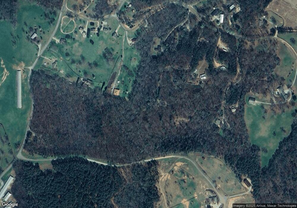
Map
Nearby Homes
- 256 Autumn Harvest Ln
- 0 Little Mountain Rd Unit 7474532
- 2716 Bailey Waters Rd
- 117 Joes Cove
- 157 Lakota Dr
- 115 Deer Trail
- 595 Ridge Rd
- 590 Ridge Rd
- 0 Crane Rd Unit 10445403
- 30 Station Gap
- 00 Little Mountain Rd
- 135 April Trace Rd
- 00 Chester Rd
- 117 Poplar Dr
- 111 Amicalola Dr
- 748 Elm Ln
- 748 Elm Ln Unit 8A
- 0 Mccormick Dr Unit 10509566
- 0 Mccormick Dr Unit 7568882
- 38 &51 Mountain Crest Rd
- 95 Orearville Rd
- 78 Seven Oaks Dr
- 88 Seven Oaks Dr
- 111 Barkwood Dr
- 5333 Little Mountain Rd
- 5323 Little Mountain Rd
- 0 Barkwood Dr Unit 7072620
- 0 Barkwood Dr
- 5321 Little Mountain Rd
- 39 Seven Oaks Dr
- 0 7 Oaks Dr
- 65 Barkwood Dr Unit TRA
- 65 Barkwood Dr
- 5395 Little Mountain Rd
- 5091 Little Mountain Rd
- 5441 Little Mountain Rd
- 83 Max Wehunt Rd Unit 4/5
- 83 Max Wehunt Rd
- 40 Mountain Pointe Dr
- 0 Foster Dr Unit 5853958