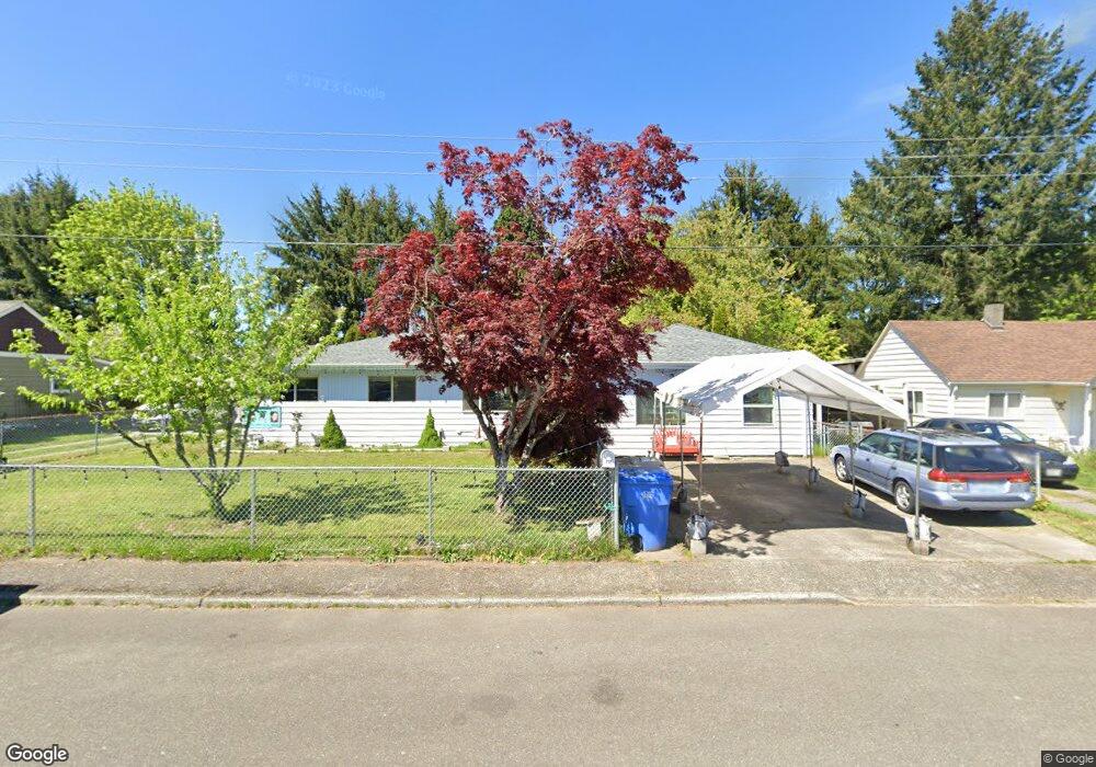
222 Pinehurst Dr SE Tumwater, WA 98501
Southeast Capitol Boulevard NeighborhoodEstimated Value: $448,093 - $478,000
3
Beds
2
Baths
1,206
Sq Ft
$381/Sq Ft
Est. Value
About This Home
This home is located at 222 Pinehurst Dr SE, Tumwater, WA 98501 and is currently estimated at $459,773, approximately $381 per square foot. 222 Pinehurst Dr SE is a home located in Thurston County with nearby schools including Peter G. Schmidt Elementary School, George Washington Bush Middle School, and Tumwater High School.
Ownership History
Date
Name
Owned For
Owner Type
Purchase Details
Closed on
May 28, 2010
Sold by
Danley Rowena A
Bought by
Miller Christopher D and Miller Christy E
Current Estimated Value
Home Financials for this Owner
Home Financials are based on the most recent Mortgage that was taken out on this home.
Original Mortgage
$173,825
Outstanding Balance
$119,485
Interest Rate
5.5%
Mortgage Type
FHA
Estimated Equity
$340,288
Create a Home Valuation Report for This Property
The Home Valuation Report is an in-depth analysis detailing your home's value as well as a comparison with similar homes in the area
Home Values in the Area
Average Home Value in this Area
Purchase History
| Date | Buyer | Sale Price | Title Company |
|---|---|---|---|
| Miller Christopher D | $190,000 | Stewart Title Company |
Source: Public Records
Mortgage History
| Date | Status | Borrower | Loan Amount |
|---|---|---|---|
| Open | Miller Christopher D | $173,825 |
Source: Public Records
Tax History Compared to Growth
Tax History
| Year | Tax Paid | Tax Assessment Tax Assessment Total Assessment is a certain percentage of the fair market value that is determined by local assessors to be the total taxable value of land and additions on the property. | Land | Improvement |
|---|---|---|---|---|
| 2024 | $3,746 | $401,100 | $165,100 | $236,000 |
| 2023 | $3,746 | $374,000 | $136,600 | $237,400 |
| 2022 | $3,500 | $368,400 | $110,500 | $257,900 |
| 2021 | $3,333 | $297,200 | $93,200 | $204,000 |
| 2020 | $2,982 | $259,600 | $96,500 | $163,100 |
| 2019 | $2,648 | $225,100 | $59,700 | $165,400 |
| 2018 | $2,544 | $197,000 | $46,400 | $150,600 |
| 2017 | $2,616 | $199,200 | $54,200 | $145,000 |
| 2016 | $2,511 | $185,950 | $60,450 | $125,500 |
| 2014 | -- | $184,150 | $60,450 | $123,700 |
Source: Public Records
Map
Nearby Homes
- 228 Lee St SE
- 6017 Capitol Blvd S
- 132 & 129 Linda St SE
- 514 W St SE
- 6018 Silver Oaks Ct SE
- 310 Y St SW
- 534 Gilbertson Ln SE
- 6521 Huron Ln SE
- 753 T St SE
- 261 65th Ct SW Unit 263
- 301 Dennis St SW
- 315 Dennis St SW
- 5705 Littlerock Rd SW Unit 26
- 5705 Littlerock Rd SW Unit 16
- 5705 Littlerock Rd SW Unit 45
- 5705 Littlerock Rd SW Unit 41
- 1500 Lake Park Dr SW Unit 28
- 1500 Lake Park Dr SW Unit 22
- 1500 Lake Park Dr SW Unit 63
- 716 Dennis St SE Unit 90
- 224 Pinehurst Dr SE
- 220 Pinehurst Dr SE
- 226 Pinehurst Dr SE
- 0 A Pinehurst Dr SE
- 221 Pinehurst Dr SE
- 223 Pinehurst Dr SE
- 5840 Margo Place SE
- 214 Pinehurst Dr SE
- 304 Pinehurst Dr SE
- 227 Pinehurst Dr SE
- 211 Hazelhurst Dr SE Unit 213
- 5901 Margo Place SE Unit 5903
- 229 Pinehurst Dr SE
- 208 Pinehurst Dr SE
- 308 Pinehurst Dr SE
- 307 Hazelhurst Dr SE
- 218 Laurelhurst Dr SE
- 222 Laurelhurst Dr SE
- 303 Pinehurst Dr SE