222 Prout Hill Rd Middletown, CT 06457
Estimated Value: $491,000 - $550,000
4
Beds
2
Baths
2,253
Sq Ft
$232/Sq Ft
Est. Value
About This Home
This home is located at 222 Prout Hill Rd, Middletown, CT 06457 and is currently estimated at $523,350, approximately $232 per square foot. 222 Prout Hill Rd is a home located in Middlesex County with nearby schools including Wesley School, St John Paul II School, and The Independent Day School.
Ownership History
Date
Name
Owned For
Owner Type
Purchase Details
Closed on
Oct 23, 2007
Sold by
Brock C Burton
Bought by
Brock Matthew A and Brock Anna L
Current Estimated Value
Home Financials for this Owner
Home Financials are based on the most recent Mortgage that was taken out on this home.
Original Mortgage
$185,000
Outstanding Balance
$116,769
Interest Rate
6.51%
Estimated Equity
$406,581
Create a Home Valuation Report for This Property
The Home Valuation Report is an in-depth analysis detailing your home's value as well as a comparison with similar homes in the area
Home Values in the Area
Average Home Value in this Area
Purchase History
| Date | Buyer | Sale Price | Title Company |
|---|---|---|---|
| Brock Matthew A | $322,000 | -- |
Source: Public Records
Mortgage History
| Date | Status | Borrower | Loan Amount |
|---|---|---|---|
| Open | Brock Matthew A | $50,000 | |
| Open | Brock Matthew A | $185,000 |
Source: Public Records
Tax History Compared to Growth
Tax History
| Year | Tax Paid | Tax Assessment Tax Assessment Total Assessment is a certain percentage of the fair market value that is determined by local assessors to be the total taxable value of land and additions on the property. | Land | Improvement |
|---|---|---|---|---|
| 2025 | $10,957 | $296,040 | $72,630 | $223,410 |
| 2024 | $10,483 | $296,040 | $72,630 | $223,410 |
| 2023 | $9,950 | $296,040 | $72,630 | $223,410 |
| 2022 | $9,345 | $226,530 | $48,420 | $178,110 |
| 2021 | $9,304 | $226,530 | $48,420 | $178,110 |
| 2020 | $9,288 | $226,530 | $48,420 | $178,110 |
| 2019 | $9,334 | $226,530 | $48,420 | $178,110 |
| 2018 | $9,012 | $226,530 | $48,420 | $178,110 |
| 2017 | $8,195 | $211,860 | $59,090 | $152,770 |
| 2016 | $8,031 | $211,860 | $59,090 | $152,770 |
| 2015 | $7,853 | $211,860 | $59,090 | $152,770 |
| 2014 | $7,845 | $211,860 | $59,090 | $152,770 |
Source: Public Records
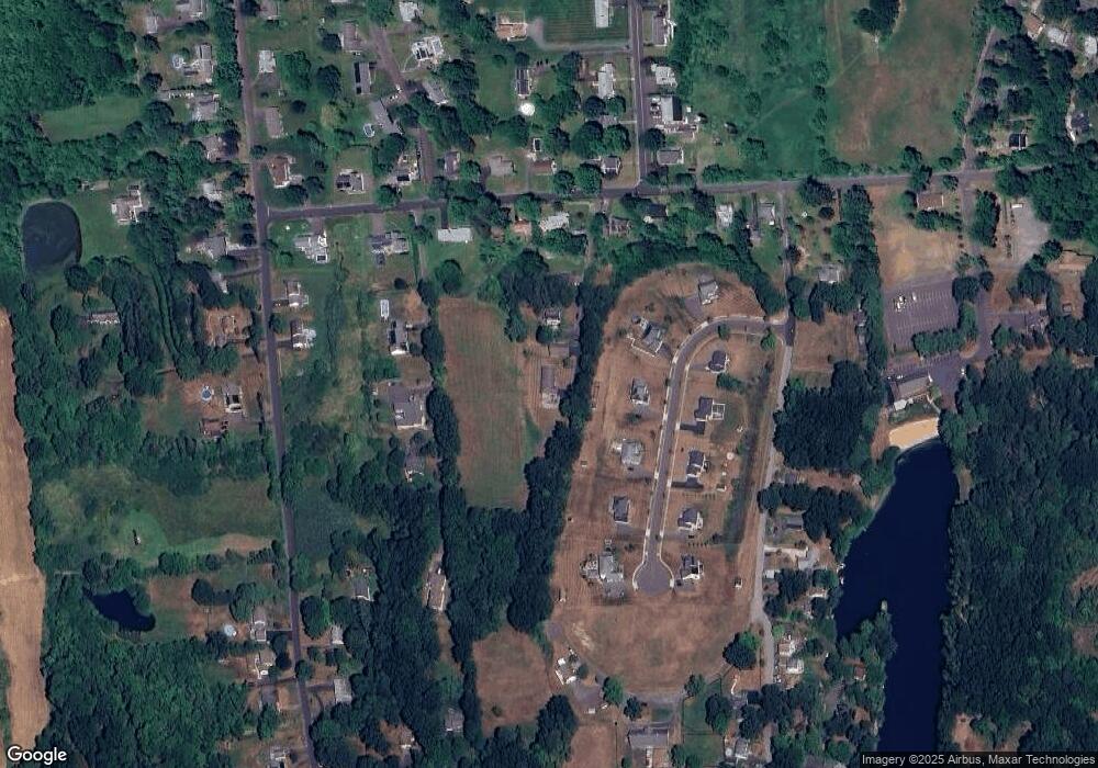
Map
Nearby Homes
- 44 Trailside Crossing
- 0 Arbutus St Unit 24065180
- 347 Farm Hill Rd
- 77 Lindsey Rd
- 50 Garfield Ave
- 143 Julia Terrace Unit 143
- 8 Countryside Ln Unit 2
- 15 Kent Ct
- Lot 3 Coleman Rd
- 56 Bidwell Terrace
- 1 Russell St Unit 15
- 1 Russell St Unit 11
- 4 Hillside Ct
- 154 Front St
- 73 Durant St
- 66 Durant Terrace
- 58 Durant Terrace
- 55 Lorelei Cir
- 498 Pine St
- 10 Lorelei Cir
- 6 Columbine Rd
- 212 Prout Hill Rd
- 240 Prout Hill Rd
- 6R Prout Hill Rd
- 6 Prout Hill Rd
- 25 Trailside Crossing
- 797 Ridge Rd
- 796 Ridge Rd
- 192 Prout Hill Rd
- 15 Trailside Crossing
- 790 Ridge Rd
- 248 Prout Hill Rd
- 241 Prout Hill Rd
- 787 Ridge Rd
- 45 Trailside Crossing
- 30 Trailside Crossing
- 182 Prout Hill Rd
- 266 Prout Hill Rd
- 779 Ridge Rd
- 776 Ridge Rd