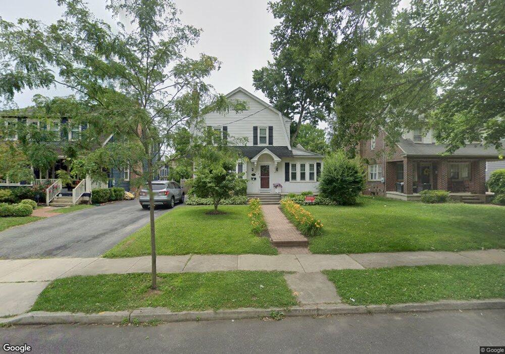
222 Rhoads Ave Haddonfield, NJ 08033
Estimated Value: $701,622 - $796,000
3
Beds
2
Baths
1,662
Sq Ft
$456/Sq Ft
Est. Value
About This Home
This home is located at 222 Rhoads Ave, Haddonfield, NJ 08033 and is currently estimated at $758,156, approximately $456 per square foot. 222 Rhoads Ave is a home located in Camden County with nearby schools including Haddonfield Memorial High School, Christ the King Regional School, and Haddonfield Friends School.
Ownership History
Date
Name
Owned For
Owner Type
Purchase Details
Closed on
Oct 2, 2010
Sold by
Simon Cary and Simon Sandie
Bought by
Mcmaster Suzanne R and Mcmaster Daniel B
Current Estimated Value
Home Financials for this Owner
Home Financials are based on the most recent Mortgage that was taken out on this home.
Original Mortgage
$314,267
Outstanding Balance
$207,594
Interest Rate
4.37%
Mortgage Type
FHA
Estimated Equity
$550,562
Purchase Details
Closed on
Mar 28, 1994
Sold by
Est Dorothy J Kuntz
Bought by
Simon Cary and Simon Sandie
Home Financials for this Owner
Home Financials are based on the most recent Mortgage that was taken out on this home.
Original Mortgage
$116,000
Interest Rate
7.6%
Create a Home Valuation Report for This Property
The Home Valuation Report is an in-depth analysis detailing your home's value as well as a comparison with similar homes in the area
Home Values in the Area
Average Home Value in this Area
Purchase History
| Date | Buyer | Sale Price | Title Company |
|---|---|---|---|
| Mcmaster Suzanne R | $318,500 | -- | |
| Simon Cary | $145,000 | -- |
Source: Public Records
Mortgage History
| Date | Status | Borrower | Loan Amount |
|---|---|---|---|
| Open | Mcmaster Suzanne R | $314,267 | |
| Previous Owner | Simon Cary | $116,000 |
Source: Public Records
Tax History
| Year | Tax Paid | Tax Assessment Tax Assessment Total Assessment is a certain percentage of the fair market value that is determined by local assessors to be the total taxable value of land and additions on the property. | Land | Improvement |
|---|---|---|---|---|
| 2025 | $11,338 | $350,900 | $196,000 | $154,900 |
| 2024 | $11,187 | $350,900 | $196,000 | $154,900 |
| 2023 | $11,187 | $350,900 | $196,000 | $154,900 |
| 2022 | $11,099 | $350,900 | $196,000 | $154,900 |
| 2021 | $11,043 | $350,900 | $196,000 | $154,900 |
| 2020 | $10,966 | $350,900 | $196,000 | $154,900 |
| 2019 | $109 | $350,900 | $196,000 | $154,900 |
| 2018 | $10,748 | $350,900 | $196,000 | $154,900 |
| 2017 | $10,492 | $350,900 | $196,000 | $154,900 |
| 2016 | $10,257 | $350,900 | $196,000 | $154,900 |
| 2015 | $9,973 | $350,900 | $196,000 | $154,900 |
| 2014 | $9,752 | $350,900 | $196,000 | $154,900 |
Source: Public Records
Map
Nearby Homes
- 156 Ardmore Ave
- 139 Rhoads Ave
- 318 Ardmore Ave
- 123 Hawthorne Ave
- 209 Haddonfield Commons
- 105 Denver Ave
- 286-288 Lake St
- 801 Cedar Ave
- 633 S Edge Park Dr
- 412 Westmont Ave
- 405 E Melrose Ave
- 237 Virginia Ave
- 840 Cedar Ave
- 13 W Euclid Ave
- 13 Wilkins Ave
- 615 Pardee Ln
- 313 Woodland Ave
- 102 A Cherry Parke
- 23 Center St
- 109 W Euclid Ave
- 218 Rhoads Ave
- 226 Rhoads Ave
- 212 Rhoads Ave
- 230 Rhoads Ave
- 219 Hawthorne Ave
- 225 Hawthorne Ave
- 217 Hawthorne Ave
- 208 Rhoads Ave
- 232 Rhoads Ave
- 231 Hawthorne Ave
- 211 Hawthorne Ave
- 217 Rhoads Ave
- 221 Rhoads Ave
- 204 Rhoads Ave
- 236 Rhoads Ave
- 235 Hawthorne Ave
- 225 Rhoads Ave
- 213 Rhoads Ave
- 205 Hawthorne Ave
- 229 Rhoads Ave
Your Personal Tour Guide
Ask me questions while you tour the home.