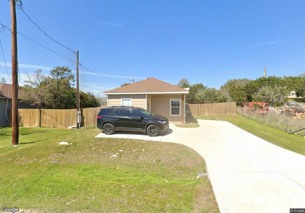
222 Rifle Rd Weatherford, TX 76087
Estimated Value: $290,000 - $321,000
5
Beds
3
Baths
2,026
Sq Ft
$151/Sq Ft
Est. Value
About This Home
This home is located at 222 Rifle Rd, Weatherford, TX 76087 and is currently estimated at $306,667, approximately $151 per square foot. 222 Rifle Rd is a home located in Parker County with nearby schools including Curtis Elementary School, Hall Middle School, and Weatherford High School.
Ownership History
Date
Name
Owned For
Owner Type
Purchase Details
Closed on
Oct 29, 2020
Sold by
Sepulveda and Veronica
Bought by
Shade Tree Real Estate Llc Rif
Current Estimated Value
Purchase Details
Closed on
Dec 17, 2015
Sold by
Flores Marie
Bought by
Sepulveda Jesus and Sepulveda Veronica
Purchase Details
Closed on
Feb 27, 2004
Sold by
Sheffield Sherwood
Bought by
Sepulveda Jesus and Sepulveda Veronica
Create a Home Valuation Report for This Property
The Home Valuation Report is an in-depth analysis detailing your home's value as well as a comparison with similar homes in the area
Home Values in the Area
Average Home Value in this Area
Purchase History
| Date | Buyer | Sale Price | Title Company |
|---|---|---|---|
| Shade Tree Real Estate Llc Rif | -- | Alamo Title Company | |
| Sepulveda Jesus | -- | -- | |
| Sepulveda Jesus | -- | -- |
Source: Public Records
Tax History Compared to Growth
Tax History
| Year | Tax Paid | Tax Assessment Tax Assessment Total Assessment is a certain percentage of the fair market value that is determined by local assessors to be the total taxable value of land and additions on the property. | Land | Improvement |
|---|---|---|---|---|
| 2025 | -- | $139,636 | $15,000 | $124,636 |
| 2024 | -- | $147,830 | $14,000 | $133,830 |
| 2023 | $2,383 | $147,830 | $14,000 | $133,830 |
| 2022 | $1,658 | $89,180 | $10,000 | $79,180 |
| 2021 | $1,796 | $89,180 | $10,000 | $79,180 |
| 2020 | $1,799 | $88,910 | $5,000 | $83,910 |
| 2019 | $1,917 | $88,910 | $5,000 | $83,910 |
| 2018 | $1,252 | $57,570 | $1,500 | $56,070 |
| 2017 | $1,278 | $57,570 | $1,500 | $56,070 |
| 2016 | $33 | $1,500 | $1,500 | $0 |
| 2015 | $33 | $1,500 | $1,500 | $0 |
| 2014 | $32 | $1,500 | $1,500 | $0 |
Source: Public Records
Map
Nearby Homes
- 413 Lakeview Trail
- 4819 Horseshoe Dr
- 246 Comanche Trail
- TBD Western Lake Dr
- 329 Longhorn Trail
- 340 Western Lake Dr
- 147 Western Lake Dr
- 241 Western Lake Dr
- 1000 Elevation Trail
- 1074 Timber Hills Dr
- 2045 Sunset Ridge Dr
- 4948 Cimmaron Trail
- 191 Wildflower Trail
- 4932 Cimmaron Trail
- 112 Pioneer Trail
- 1061 Uplift Dr
- 1009 Timber Hills Dr
- 3016 Infinity Dr
- 1064 Uplift Dr
- 1049 Uplift Dr
- 222&224 Rifle Rd
- TBD Rifle Rd
- 245 Rifle Rd
- Lot 19 Rifle Rd
- 4833 Pioneer Rd
- 168 Rifle Rd
- 349 Lakeview Trail
- 0000 Apache Trail
- 228 Apache Trail
- 220 Apache Trail
- 332 Lakeview Trail
- 340 Lakeview Trail
- 324 Lakeview Trail
- 4846 Pioneer Rd
- 000 Rifle Rd
- 140 Rifle Rd
- 231 Tumbleweed Dr
- 205 Tumbleweed Dr
- 367 Lakeview Trail
- 217 Tumbleweed Dr