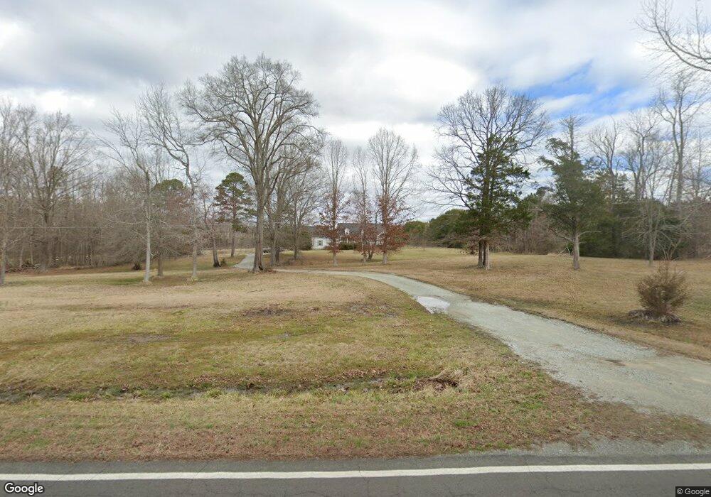
222 Robertson Rd Roxboro, NC 27574
Estimated Value: $346,000 - $698,000
4
Beds
3
Baths
2,709
Sq Ft
$194/Sq Ft
Est. Value
About This Home
This home is located at 222 Robertson Rd, Roxboro, NC 27574 and is currently estimated at $524,333, approximately $193 per square foot. 222 Robertson Rd is a home located in Person County with nearby schools including Person High School and Sneed Academy.
Ownership History
Date
Name
Owned For
Owner Type
Purchase Details
Closed on
Apr 24, 2008
Sold by
Handy David M and Handy Erica L
Bought by
Daniel Charles C and Daniel Myra E
Current Estimated Value
Home Financials for this Owner
Home Financials are based on the most recent Mortgage that was taken out on this home.
Original Mortgage
$231,000
Outstanding Balance
$147,166
Interest Rate
6.08%
Mortgage Type
New Conventional
Estimated Equity
$377,167
Purchase Details
Closed on
Feb 23, 2007
Sold by
Cargill Bobbie Carroll and Cargill Karin C
Bought by
Handy David Michael and Handy Erica Lindgren
Create a Home Valuation Report for This Property
The Home Valuation Report is an in-depth analysis detailing your home's value as well as a comparison with similar homes in the area
Purchase History
We collect this data history from publicly available records. To have your information removed, we recommend requesting removal directly through your county’s website.
| Date | Buyer | Sale Price | Title Company |
|---|---|---|---|
| Daniel Charles C | $330,000 | -- | |
| Handy David Michael | $300,000 | -- |
Source: Public Records
Mortgage History
We collect this data history from publicly available records. To have your information removed, we recommend requesting removal directly through your county’s website.
| Date | Status | Borrower | Loan Amount |
|---|---|---|---|
| Open | Daniel Charles C | $231,000 |
Source: Public Records
Tax History
| Year | Tax Paid | Tax Assessment Tax Assessment Total Assessment is a certain percentage of the fair market value that is determined by local assessors to be the total taxable value of land and additions on the property. | Land | Improvement |
|---|---|---|---|---|
| 2025 | $3,365 | $501,081 | $0 | $0 |
| 2024 | $2,516 | $324,646 | $0 | $0 |
| 2023 | $2,516 | $324,646 | $0 | $0 |
| 2022 | $2,508 | $324,646 | $0 | $0 |
| 2021 | $2,435 | $324,646 | $0 | $0 |
| 2020 | $1,927 | $256,751 | $0 | $0 |
| 2019 | $1,953 | $256,751 | $0 | $0 |
| 2018 | $1,831 | $256,751 | $0 | $0 |
| 2017 | $1,805 | $256,751 | $0 | $0 |
| 2016 | $1,805 | $256,751 | $0 | $0 |
| 2015 | $1,805 | $256,751 | $0 | $0 |
| 2014 | $1,805 | $256,751 | $0 | $0 |
Source: Public Records
Map
Nearby Homes
- 0 Boulder Ct Unit 10154414
- 333 Granite Dr
- 111 Fox Crossing Dr
- 870 Morton-Pulliam Rd
- 9 Buttonwood Ln
- 314 Old Salem Rd
- 237 Willifords Point Dr
- 312 Victor Williford Rd
- 98 Lochridge Dr
- 0 Younger Rd Unit 26836672
- 1023 Leasburg Rd
- 303 Hidden Hills Rd
- 1325 Charlie Carr Rd
- 1.5 Acres Burlington Rd
- 287 Oliver Loop Rd
- 45 Jasper Clayton Rd
- 24 Country Side Dr
- 15a Quail Hollow Dr
- 16 Quail Hollow Dr
- 325 Wesfield Dr
- 999 John D Winstead Rd
- 000 Robertson Rd
- 913 John D Winstead Rd
- 336 Robertson Rd
- 100 Robertson Rd
- 378 Robertson Rd
- 215 Robertson Rd
- 51 Robertson Rd
- 460 Robertson Rd
- 941 Longs Store Rd
- 941 Longs Store Rd
- 120 Robertson Rd
- 0 John D Winstead Rd Unit 1841169
- 0 John D Winstead Rd Unit 1841270
- 0 John D Winstead Rd Unit na 1806276
- 0 John D Winstead Rd Unit D 1841271
- 0 John D Winstead Rd Unit B 1841175
- 339 Robertson Rd
- 473 Robertson Rd
- 643 John D Winstead Rd
Your Personal Tour Guide
Ask me questions while you tour the home.