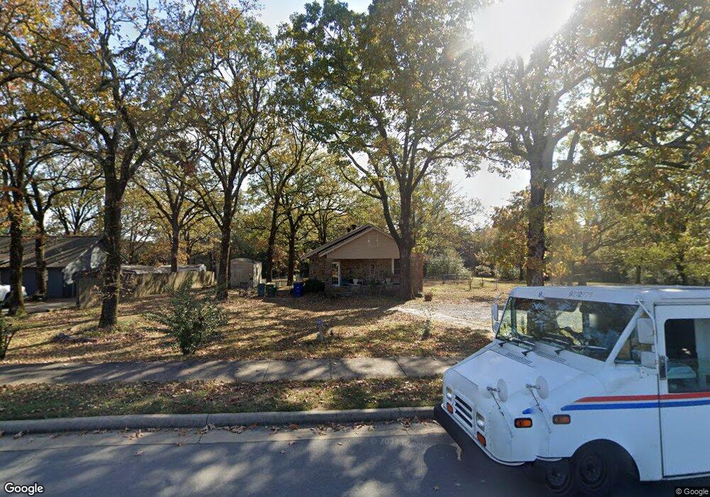
222 Spriggs Rd North Little Rock, AR 72118
Amboy NeighborhoodEstimated Value: $130,388 - $166,000
--
Bed
1
Bath
1,200
Sq Ft
$123/Sq Ft
Est. Value
About This Home
This home is located at 222 Spriggs Rd, North Little Rock, AR 72118 and is currently estimated at $147,847, approximately $123 per square foot. 222 Spriggs Rd is a home located in Pulaski County with nearby schools including Sylvan Hills Elementary School, Sylvan Hills Middle School, and Sylvan Hills High School.
Ownership History
Date
Name
Owned For
Owner Type
Purchase Details
Closed on
May 18, 2004
Sold by
Buchanan Dianne Deonne
Bought by
Buchanan Fred and Buchanan Maureen
Current Estimated Value
Create a Home Valuation Report for This Property
The Home Valuation Report is an in-depth analysis detailing your home's value as well as a comparison with similar homes in the area
Home Values in the Area
Average Home Value in this Area
Purchase History
| Date | Buyer | Sale Price | Title Company |
|---|---|---|---|
| Buchanan Fred | -- | -- |
Source: Public Records
Tax History Compared to Growth
Tax History
| Year | Tax Paid | Tax Assessment Tax Assessment Total Assessment is a certain percentage of the fair market value that is determined by local assessors to be the total taxable value of land and additions on the property. | Land | Improvement |
|---|---|---|---|---|
| 2025 | $895 | $28,019 | $14,344 | $13,675 |
| 2024 | $821 | $28,019 | $14,344 | $13,675 |
| 2023 | $821 | $28,019 | $14,344 | $13,675 |
| 2022 | $783 | $28,019 | $14,344 | $13,675 |
| 2021 | $746 | $12,600 | $2,800 | $9,800 |
| 2020 | $371 | $12,600 | $2,800 | $9,800 |
| 2019 | $371 | $12,600 | $2,800 | $9,800 |
| 2018 | $396 | $12,600 | $2,800 | $9,800 |
| 2017 | $396 | $12,600 | $2,800 | $9,800 |
| 2016 | $414 | $12,900 | $3,000 | $9,900 |
| 2015 | $764 | $12,900 | $3,000 | $9,900 |
| 2014 | $764 | $0 | $0 | $0 |
Source: Public Records
Map
Nearby Homes
- 1100 Talihana Dr
- 10 Silverwood Ct
- 719 Spriggs Rd
- 501 Silverwood Trail
- 13 Stanwood Loop
- 807 Cobblestone Cir
- 126 Cobblestone Cir
- 1218 Mission Rd
- 1204 N Point Ln
- 47 Perin Rd
- 1010 Claycut Cir
- 7100 Sequoyah Ln
- 1209 Silverwood Trail
- 8 Minnehaha Ct
- 1115 Claycut Cir
- 0 Timberline Dr
- 6312 Rolling Hills Dr
- 6317 Rolling Hills Dr
- 6324 Allwood Dr
- 9 Blackstone Cir
- 224 Spriggs Rd
- 300 Spriggs Rd
- 7 Meadowood Ct
- 311 Spriggs Rd
- 8 Meadowood Ct
- 301 Spriggs Rd
- 304 Spriggs Rd
- 0 Meadowood Ct
- 5 Meadowood Ct
- 124 Spriggs Rd
- 308 Spriggs Rd
- 6 Meadowood Ct
- 3 Meadowood Ct
- 23 Meadow Oaks Ct
- 4 Meadowood Ct
- 1 Meadow Oaks Ct
- 3 Meadow Oaks Ct
- 25 Meadow Oaks Ct
- 21 Meadow Oaks Ct
- 105 Spriggs Rd