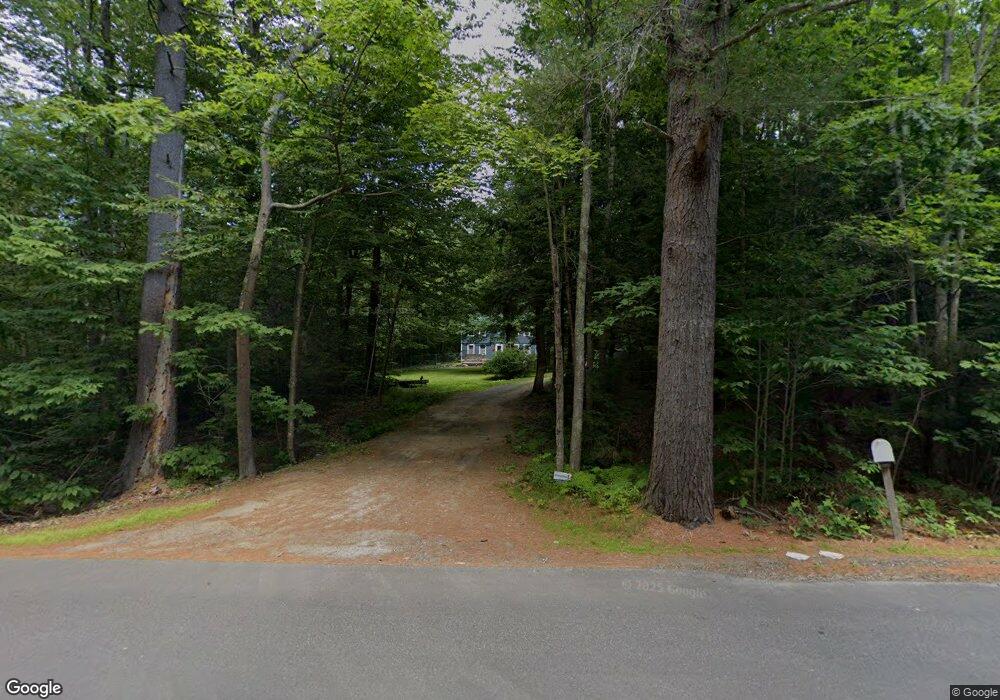
222 Stackpole Rd Durham, ME 04222
Estimated Value: $443,000 - $494,000
4
Beds
2
Baths
1,512
Sq Ft
$307/Sq Ft
Est. Value
About This Home
This home is located at 222 Stackpole Rd, Durham, ME 04222 and is currently estimated at $463,529, approximately $306 per square foot. 222 Stackpole Rd is a home located in Androscoggin County with nearby schools including Durham Community School and Freeport High School.
Ownership History
Date
Name
Owned For
Owner Type
Purchase Details
Closed on
Jul 26, 2005
Sold by
Winslow Anthony B and Winslow Heather M
Bought by
Mcneil Pauline J
Current Estimated Value
Home Financials for this Owner
Home Financials are based on the most recent Mortgage that was taken out on this home.
Original Mortgage
$125,000
Outstanding Balance
$62,866
Interest Rate
5.59%
Mortgage Type
Purchase Money Mortgage
Estimated Equity
$400,663
Create a Home Valuation Report for This Property
The Home Valuation Report is an in-depth analysis detailing your home's value as well as a comparison with similar homes in the area
Home Values in the Area
Average Home Value in this Area
Purchase History
| Date | Buyer | Sale Price | Title Company |
|---|---|---|---|
| Mcneil Pauline J | -- | -- |
Source: Public Records
Mortgage History
| Date | Status | Borrower | Loan Amount |
|---|---|---|---|
| Open | Mcneil Pauline J | $125,000 |
Source: Public Records
Tax History
| Year | Tax Paid | Tax Assessment Tax Assessment Total Assessment is a certain percentage of the fair market value that is determined by local assessors to be the total taxable value of land and additions on the property. | Land | Improvement |
|---|---|---|---|---|
| 2025 | $5,534 | $164,800 | $62,100 | $102,700 |
| 2024 | $3,584 | $164,800 | $62,100 | $102,700 |
| 2023 | $3,518 | $164,800 | $62,100 | $102,700 |
| 2022 | $3,411 | $164,800 | $62,100 | $102,700 |
| 2021 | $3,411 | $164,800 | $62,100 | $102,700 |
| 2020 | $3,337 | $164,800 | $62,100 | $102,700 |
| 2019 | $3,337 | $164,800 | $62,100 | $102,700 |
| 2018 | $3,247 | $164,800 | $62,100 | $102,700 |
| 2016 | $3,098 | $164,800 | $62,100 | $102,700 |
| 2015 | $2,868 | $164,800 | $62,100 | $102,700 |
| 2014 | $2,744 | $164,800 | $62,100 | $102,700 |
| 2013 | $2,464 | $164,800 | $62,100 | $102,700 |
Source: Public Records
Map
Nearby Homes
- 9 Commons Dr
- 24 Mattie Ln
- 059-007 Soper's Mill Rd
- 277 Ferry Rd
- 6 Macintosh Ln
- 26 Stanley Dr
- 39 Pine Knoll Dr
- 197 Ferry Rd
- 36 Andrea St
- 38 Fairview Dr
- 25 Village St
- 272 Lisbon St
- M.R6 Lot18 Lisbon St
- 69 Lisbon Street Lots F & G
- 22 Sabattus Creek Dr
- 7 Alexander St
- 103 Lisbon St
- 006-114 Old Brunswick Rd
- 850 Lawrence Rd
- 1944 S Lisbon Rd
- 240 Stackpole Rd
- 206 Stackpole Rd
- 217 Stackpole Rd
- 211 Stackpole Rd
- 250 Stackpole Rd
- 202 Stackpole Rd
- 172 Stackpole Rd
- 241 Stackpole Rd
- 148 Stackpole Rd
- 154 Stackpole Rd
- 32 Maplewood Ln
- 185 Stackpole Rd
- 193 Stackpole Rd
- 169 Stackpole Rd
- 270 Stackpole Rd
- 22 Cloutier Rd
- 23 Cloutier Rd
- 58 Maplewood Ln
- 11 Cloutier Rd
- 280 Stackpole Rd
Your Personal Tour Guide
Ask me questions while you tour the home.