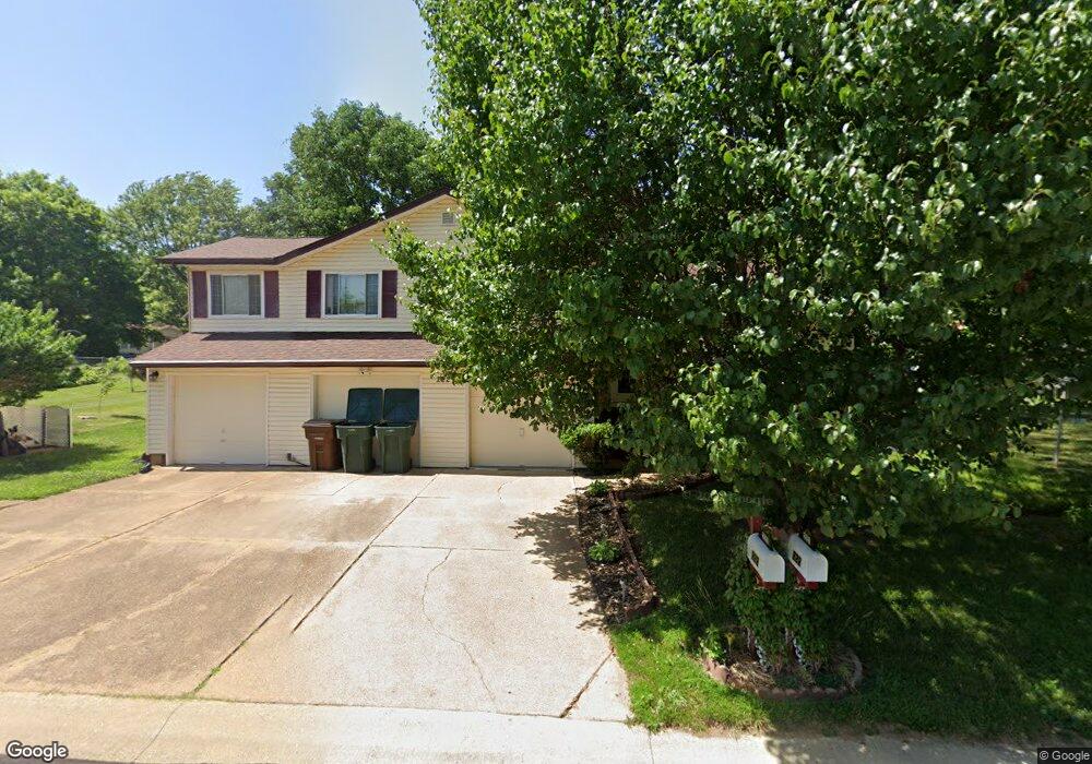
222 Sutters Mill Rd Saint Peters, MO 63376
Estimated Value: $369,086 - $401,000
3
Beds
2
Baths
2,072
Sq Ft
$184/Sq Ft
Est. Value
About This Home
This home is located at 222 Sutters Mill Rd, Saint Peters, MO 63376 and is currently estimated at $382,272, approximately $184 per square foot. 222 Sutters Mill Rd is a home located in St. Charles County with nearby schools including Hawthorn Elementary School, Dr. Bernard J. Dubray Middle School, and Fort Zumwalt East High School.
Ownership History
Date
Name
Owned For
Owner Type
Purchase Details
Closed on
Jun 25, 1997
Sold by
Cody Joseph M and Cody Rose M
Bought by
Guerrero Carlos R and Guerrero Lillian A
Current Estimated Value
Home Financials for this Owner
Home Financials are based on the most recent Mortgage that was taken out on this home.
Original Mortgage
$85,000
Outstanding Balance
$12,560
Interest Rate
7.85%
Estimated Equity
$369,712
Create a Home Valuation Report for This Property
The Home Valuation Report is an in-depth analysis detailing your home's value as well as a comparison with similar homes in the area
Home Values in the Area
Average Home Value in this Area
Purchase History
| Date | Buyer | Sale Price | Title Company |
|---|---|---|---|
| Guerrero Carlos R | $115,900 | Old Republic Title Company |
Source: Public Records
Mortgage History
| Date | Status | Borrower | Loan Amount |
|---|---|---|---|
| Open | Guerrero Carlos R | $85,000 | |
| Closed | Guerrero Carlos R | $20,000 |
Source: Public Records
Tax History Compared to Growth
Tax History
| Year | Tax Paid | Tax Assessment Tax Assessment Total Assessment is a certain percentage of the fair market value that is determined by local assessors to be the total taxable value of land and additions on the property. | Land | Improvement |
|---|---|---|---|---|
| 2025 | $5,291 | $66,664 | -- | -- |
| 2023 | $5,286 | $74,414 | $0 | $0 |
| 2022 | $4,311 | $56,804 | $0 | $0 |
| 2021 | $4,304 | $56,804 | $0 | $0 |
| 2020 | $3,943 | $50,406 | $0 | $0 |
| 2019 | $3,933 | $50,406 | $0 | $0 |
| 2018 | $3,493 | $42,981 | $0 | $0 |
| 2017 | $3,477 | $42,981 | $0 | $0 |
| 2016 | $3,473 | $42,870 | $0 | $0 |
| 2015 | $3,251 | $42,870 | $0 | $0 |
| 2014 | $2,729 | $35,206 | $0 | $0 |
Source: Public Records
Map
Nearby Homes
- 88 Spencer Trail
- 44 Dogwood Ln
- 47 Dogwood Ln
- 54 Dogwood Ln
- 29 Vanguard Dr
- 114 Long And Winding Rd
- 404 Kaliedoscope Ln
- 2223 Highland Hill Dr Unit E
- 99 Long And Winding Rd
- 19 Galaxy Dr
- 897 Delray Dr Unit B
- 132 Plum Tree Dr
- 798 Delray Dr Unit K
- 17 Avocado Tree Cir
- 613 River Moss Dr
- 17 Forrel Tree Ct
- 824 Highland Hill Ct Unit H
- 1126 Spencer Rd
- 4 Trailview Ct
- 537 Ryehill Dr
- 3 Spencer Valley Dr
- 224 Sutters Mill Rd
- 2 Wells Fargo Dr
- 5 Spencer Valley Dr
- 223 Sutters Mill Rd
- 4 Wells Fargo Dr
- 225 Sutters Mill Rd
- 1 Wells Fargo Ct
- 6 Wells Fargo Dr
- 7 Spencer Valley Dr
- 8 Spencer Valley Ct
- 226 Sutters Mill Rd
- 2 Wells Fargo Ct
- 6 Spencer Valley Dr
- 8 Wells Fargo Dr
- 1 Wells Fargo Dr
- 8 Spencer Valley Dr
- 4 Spencer Valley Dr
- 7 Spencer Valley Ct
- 5 Wells Fargo Dr