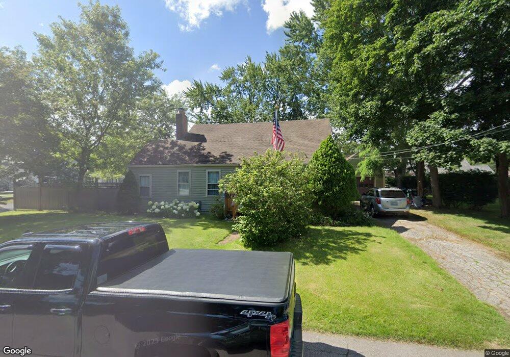
222 Taft Ave Warwick, RI 02886
Greenwood NeighborhoodEstimated Value: $363,000 - $485,000
3
Beds
2
Baths
1,517
Sq Ft
$285/Sq Ft
Est. Value
About This Home
This home is located at 222 Taft Ave, Warwick, RI 02886 and is currently estimated at $431,667, approximately $284 per square foot. 222 Taft Ave is a home located in Kent County with nearby schools including St Rose Of Lima School and Eleanor Briggs School.
Ownership History
Date
Name
Owned For
Owner Type
Purchase Details
Closed on
Mar 9, 2012
Sold by
Monette I Cormier T
Bought by
Carew Andre
Current Estimated Value
Purchase Details
Closed on
Jan 20, 2009
Sold by
Ekroth Erik D and Ekroth Thomasina A
Bought by
Carew Andre
Home Financials for this Owner
Home Financials are based on the most recent Mortgage that was taken out on this home.
Original Mortgage
$112,000
Interest Rate
5.52%
Mortgage Type
Purchase Money Mortgage
Purchase Details
Closed on
Sep 16, 1998
Sold by
Ford Stephen E and Ford Rita
Bought by
Ekroth Erik D and Ekroth Thomasina A
Create a Home Valuation Report for This Property
The Home Valuation Report is an in-depth analysis detailing your home's value as well as a comparison with similar homes in the area
Home Values in the Area
Average Home Value in this Area
Purchase History
| Date | Buyer | Sale Price | Title Company |
|---|---|---|---|
| Carew Andre | $117,000 | -- | |
| Carew Andre | $140,000 | -- | |
| Ekroth Erik D | $93,000 | -- |
Source: Public Records
Mortgage History
| Date | Status | Borrower | Loan Amount |
|---|---|---|---|
| Open | Ekroth Erik D | $143,000 | |
| Previous Owner | Ekroth Erik D | $112,000 | |
| Previous Owner | Ekroth Erik D | $199,000 |
Source: Public Records
Tax History
| Year | Tax Paid | Tax Assessment Tax Assessment Total Assessment is a certain percentage of the fair market value that is determined by local assessors to be the total taxable value of land and additions on the property. | Land | Improvement |
|---|---|---|---|---|
| 2025 | $4,716 | $371,300 | $100,800 | $270,500 |
| 2024 | $4,467 | $308,700 | $81,700 | $227,000 |
| 2023 | $4,380 | $308,700 | $81,700 | $227,000 |
| 2022 | $4,216 | $225,100 | $56,500 | $168,600 |
| 2021 | $4,216 | $225,100 | $56,500 | $168,600 |
| 2020 | $4,216 | $225,100 | $56,500 | $168,600 |
| 2019 | $4,216 | $225,100 | $56,500 | $168,600 |
| 2018 | $3,952 | $190,000 | $54,600 | $135,400 |
| 2017 | $3,846 | $190,000 | $54,600 | $135,400 |
| 2016 | $3,809 | $188,200 | $54,600 | $133,600 |
| 2015 | $3,301 | $159,100 | $51,300 | $107,800 |
| 2014 | $3,192 | $159,100 | $51,300 | $107,800 |
| 2013 | $3,149 | $159,100 | $51,300 | $107,800 |
Source: Public Records
Map
Nearby Homes
- 157 George Arden Ave
- 233 Palace Ave
- 5 Barre Ct
- 143 Morse Ave
- 74 Stephens Ave
- 2907 Post Rd Unit 4
- 2907 Post Rd Unit 2
- 2907 Post Rd Unit 3
- 45 Tourtelot Ave
- 86 Red Maple Ln
- 62 Red Maple Ln
- 88 Child Ln
- 38 Red Maple Ln
- 3524 W Shore Rd Unit 215
- 6 Lillian Ct
- 84 Spruce St
- 44 Westbrook Rd
- 28 Burgess Dr
- 333 Greenwood Ave
- 833 Halifax Dr
Your Personal Tour Guide
Ask me questions while you tour the home.