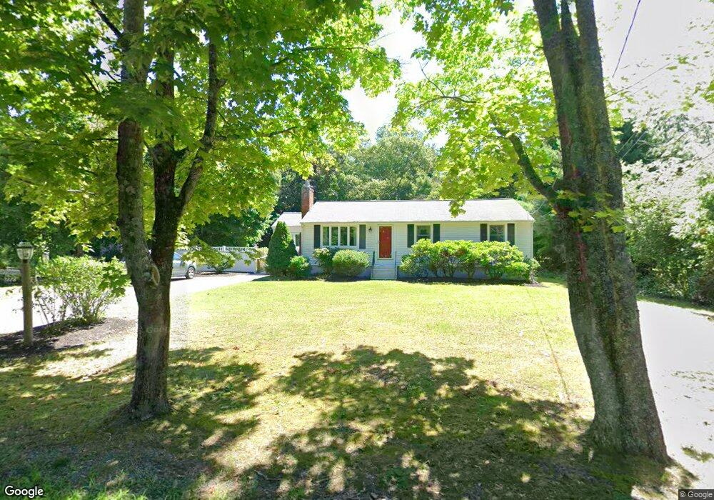
222 Taylor St Pembroke, MA 02359
Estimated Value: $566,823 - $694,000
--
Bed
1
Bath
1,008
Sq Ft
$613/Sq Ft
Est. Value
About This Home
This home is located at 222 Taylor St, Pembroke, MA 02359 and is currently estimated at $617,456, approximately $612 per square foot. 222 Taylor St is a home located in Plymouth County with nearby schools including Pembroke High School and Cardinal Cushing Centers.
Ownership History
Date
Name
Owned For
Owner Type
Purchase Details
Closed on
Aug 1, 2011
Sold by
Franzoni Wayne S and Franzoni Maureen J
Bought by
Franzoni Ft and Franzoni Wayne S
Current Estimated Value
Purchase Details
Closed on
Apr 2, 1976
Bought by
Franzoni Ft
Create a Home Valuation Report for This Property
The Home Valuation Report is an in-depth analysis detailing your home's value as well as a comparison with similar homes in the area
Home Values in the Area
Average Home Value in this Area
Purchase History
| Date | Buyer | Sale Price | Title Company |
|---|---|---|---|
| Franzoni Ft | -- | -- | |
| Franzoni Ft | $31,500 | -- |
Source: Public Records
Mortgage History
| Date | Status | Borrower | Loan Amount |
|---|---|---|---|
| Previous Owner | Franzoni Ft | $25,000 | |
| Previous Owner | Franzoni Ft | $19,695 | |
| Previous Owner | Franzoni Ft | $13,000 | |
| Previous Owner | Franzoni Ft | $60,000 |
Source: Public Records
Tax History Compared to Growth
Tax History
| Year | Tax Paid | Tax Assessment Tax Assessment Total Assessment is a certain percentage of the fair market value that is determined by local assessors to be the total taxable value of land and additions on the property. | Land | Improvement |
|---|---|---|---|---|
| 2025 | $6,173 | $513,600 | $308,500 | $205,100 |
| 2024 | $6,090 | $506,200 | $303,300 | $202,900 |
| 2023 | $5,972 | $469,500 | $288,500 | $181,000 |
| 2022 | $5,595 | $395,400 | $237,700 | $157,700 |
| 2021 | $5,249 | $360,000 | $222,500 | $137,500 |
| 2020 | $5,147 | $355,200 | $217,700 | $137,500 |
| 2019 | $4,986 | $341,500 | $212,300 | $129,200 |
| 2018 | $4,859 | $326,300 | $212,300 | $114,000 |
| 2017 | $4,776 | $316,300 | $202,300 | $114,000 |
| 2016 | $4,602 | $301,600 | $187,500 | $114,100 |
| 2015 | $4,289 | $291,000 | $177,500 | $113,500 |
Source: Public Records
Map
Nearby Homes
- 99 Old Washington St
- 30 Old Washington St Unit 9
- 249 High St
- 599 Washington St Unit 14
- 40 Brisan Way
- 290 High St
- 100 Fairwood Dr
- 330 Pleasant St
- 77 Old Cart Path Ln Unit Lot 4
- 78 Old Cart Path Ln Unit Lot 3
- 72 Old Cart Path Ln Unit Lot 2
- 676 Franklin St
- 33 Barker Square Dr Unit 33
- 234 Forest St
- 387 North St
- 47 Wellington Ln
- 204 Center St Unit 9
- 72 Valley St
- The Duplex Plan at The Village at Harlow Brook
- The Chatham Plan at The Village at Harlow Brook