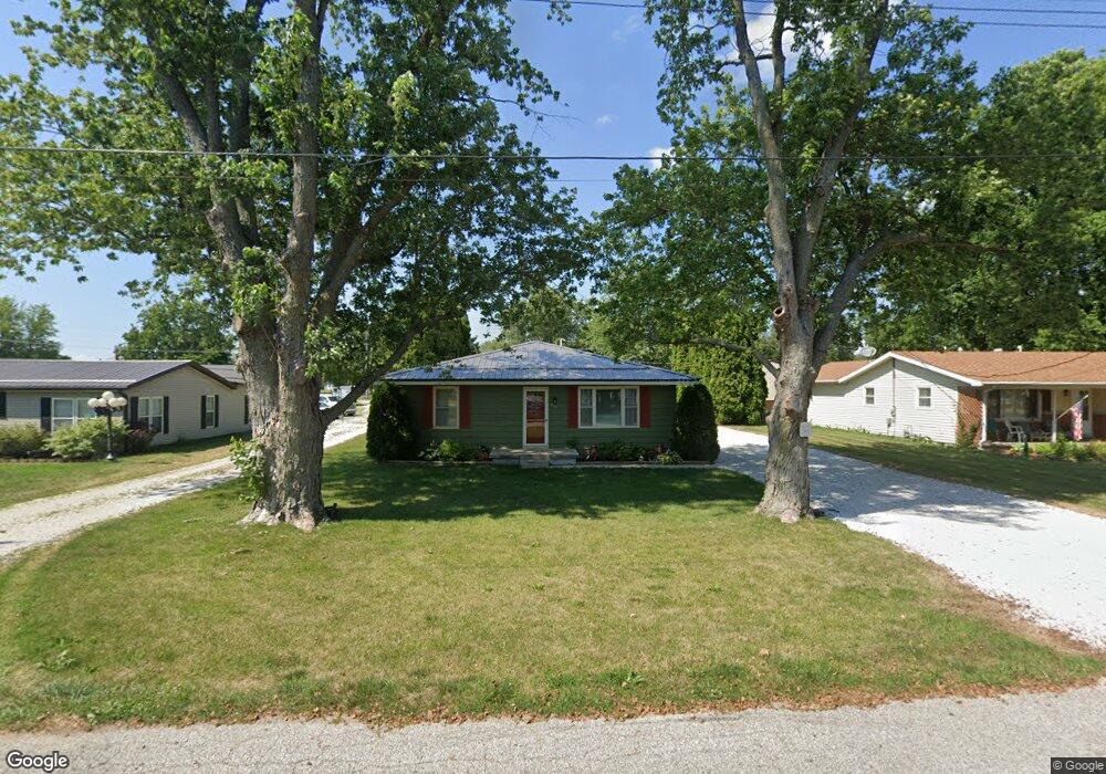
222 W Allen St Kentland, IN 47951
Estimated Value: $150,269 - $180,000
4
Beds
2
Baths
1,581
Sq Ft
$106/Sq Ft
Est. Value
About This Home
This home is located at 222 W Allen St, Kentland, IN 47951 and is currently estimated at $167,067, approximately $105 per square foot. 222 W Allen St is a home located in Newton County with nearby schools including South Newton Elementary School, South Newton Middle School, and South Newton Senior High School.
Create a Home Valuation Report for This Property
The Home Valuation Report is an in-depth analysis detailing your home's value as well as a comparison with similar homes in the area
Home Values in the Area
Average Home Value in this Area
Tax History Compared to Growth
Tax History
| Year | Tax Paid | Tax Assessment Tax Assessment Total Assessment is a certain percentage of the fair market value that is determined by local assessors to be the total taxable value of land and additions on the property. | Land | Improvement |
|---|---|---|---|---|
| 2024 | $657 | $93,400 | $10,400 | $83,000 |
| 2023 | $619 | $87,400 | $10,400 | $77,000 |
| 2022 | $802 | $83,300 | $10,400 | $72,900 |
| 2021 | $506 | $63,200 | $9,100 | $54,100 |
| 2020 | $597 | $62,000 | $9,100 | $52,900 |
| 2019 | $546 | $62,000 | $9,100 | $52,900 |
| 2018 | $526 | $62,000 | $9,100 | $52,900 |
| 2017 | $474 | $58,800 | $5,900 | $52,900 |
| 2016 | $461 | $59,300 | $5,900 | $53,400 |
| 2014 | $360 | $58,000 | $5,900 | $52,100 |
| 2013 | $360 | $53,600 | $5,900 | $47,700 |
Source: Public Records
Map
Nearby Homes
- 218 W Allen St
- Vacant Land W Allen St
- 311 W Allen St
- 315 W Railroad St
- 323 W Graham St
- 110 W Goss St
- 111 E Graham St
- 106 W Washington St
- 103 E Washington St
- 205 E Dunlap St
- 106 E Washington St
- 105 E Iroquois St
- 111 E Iroquois St
- 407 N 3rd St
- 408 E Graham St
- 106 N 5th St
- 707 N 3rd St
- 308 E Ray St
- 7104 W 800 N
- 1312 E 1700 S