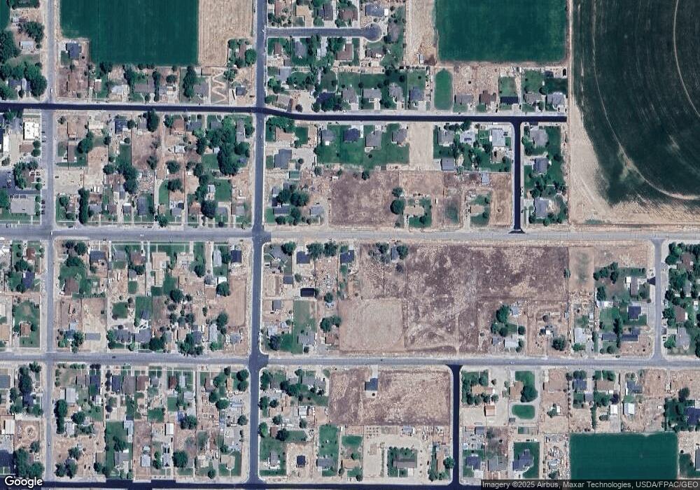
222 W Center St Gunnison, UT 84634
Gunnison NeighborhoodEstimated Value: $144,000 - $285,000
--
Bed
--
Bath
768
Sq Ft
$266/Sq Ft
Est. Value
About This Home
This home is located at 222 W Center St, Gunnison, UT 84634 and is currently estimated at $204,254, approximately $265 per square foot. 222 W Center St is a home.
Ownership History
Date
Name
Owned For
Owner Type
Purchase Details
Closed on
Dec 14, 2021
Sold by
Caldwell Kamee and Caldwell Colton J
Bought by
Kaden Leon
Current Estimated Value
Home Financials for this Owner
Home Financials are based on the most recent Mortgage that was taken out on this home.
Original Mortgage
$186,558
Outstanding Balance
$171,561
Interest Rate
3.1%
Mortgage Type
Construction
Estimated Equity
$32,693
Purchase Details
Closed on
Feb 12, 2018
Sold by
Mattson Stewart L and Mattson Robert L
Bought by
Caldwell Colton J
Home Financials for this Owner
Home Financials are based on the most recent Mortgage that was taken out on this home.
Original Mortgage
$65,656
Interest Rate
3.99%
Mortgage Type
New Conventional
Create a Home Valuation Report for This Property
The Home Valuation Report is an in-depth analysis detailing your home's value as well as a comparison with similar homes in the area
Home Values in the Area
Average Home Value in this Area
Purchase History
| Date | Buyer | Sale Price | Title Company |
|---|---|---|---|
| Kaden Leon | $233,197 | Professional Title Servs Inc | |
| Caldwell Colton J | $82,070 | Wasatch Land & Title Ins |
Source: Public Records
Mortgage History
| Date | Status | Borrower | Loan Amount |
|---|---|---|---|
| Open | Kaden Leon | $186,558 | |
| Previous Owner | Caldwell Colton J | $65,656 |
Source: Public Records
Tax History Compared to Growth
Tax History
| Year | Tax Paid | Tax Assessment Tax Assessment Total Assessment is a certain percentage of the fair market value that is determined by local assessors to be the total taxable value of land and additions on the property. | Land | Improvement |
|---|---|---|---|---|
| 2024 | $758 | $68,708 | $0 | $0 |
| 2023 | $732 | $61,898 | $0 | $0 |
| 2022 | $708 | $55,267 | $0 | $0 |
| 2021 | $679 | $45,835 | $0 | $0 |
| 2020 | $638 | $40,442 | $0 | $0 |
| 2019 | $611 | $37,769 | $0 | $0 |
| 2018 | $586 | $62,520 | $20,284 | $42,236 |
| 2017 | $556 | $34,386 | $0 | $0 |
| 2016 | $521 | $32,266 | $0 | $0 |
| 2015 | $522 | $32,266 | $0 | $0 |
| 2014 | $514 | $32,266 | $0 | $0 |
| 2013 | $516 | $32,474 | $0 | $0 |
Source: Public Records
Map
Nearby Homes