222 Windsong Rd Roanoke Rapids, NC 27870
Estimated Value: $500,000 - $647,000
3
Beds
2
Baths
1,675
Sq Ft
$348/Sq Ft
Est. Value
About This Home
This home is located at 222 Windsong Rd, Roanoke Rapids, NC 27870 and is currently estimated at $582,565, approximately $347 per square foot. 222 Windsong Rd is a home located in Halifax County with nearby schools including Everetts Elementary School, William R. Davie Middle School, and Victory Christian Academy.
Ownership History
Date
Name
Owned For
Owner Type
Purchase Details
Closed on
May 31, 2017
Sold by
Yates Rodney and Yates Brenda Shell
Bought by
Sarver William J and Sarver Cynthia M
Current Estimated Value
Purchase Details
Closed on
Jan 3, 2011
Sold by
Black John Richard and Black Holly Lynn
Bought by
Yates Rodney and Yates Brenda Shell
Home Financials for this Owner
Home Financials are based on the most recent Mortgage that was taken out on this home.
Original Mortgage
$208,000
Interest Rate
4.82%
Mortgage Type
New Conventional
Create a Home Valuation Report for This Property
The Home Valuation Report is an in-depth analysis detailing your home's value as well as a comparison with similar homes in the area
Home Values in the Area
Average Home Value in this Area
Purchase History
| Date | Buyer | Sale Price | Title Company |
|---|---|---|---|
| Sarver William J | $380,000 | None Available | |
| Yates Rodney | $260,000 | -- |
Source: Public Records
Mortgage History
| Date | Status | Borrower | Loan Amount |
|---|---|---|---|
| Previous Owner | Yates Rodney | $208,000 |
Source: Public Records
Tax History Compared to Growth
Tax History
| Year | Tax Paid | Tax Assessment Tax Assessment Total Assessment is a certain percentage of the fair market value that is determined by local assessors to be the total taxable value of land and additions on the property. | Land | Improvement |
|---|---|---|---|---|
| 2025 | $47 | $506,300 | $198,700 | $307,600 |
| 2024 | $47 | $506,300 | $198,700 | $307,600 |
| 2023 | $3,904 | $390,400 | $174,600 | $215,800 |
| 2022 | $3,988 | $390,400 | $174,600 | $215,800 |
| 2021 | $3,901 | $390,400 | $174,600 | $215,800 |
| 2020 | $3,973 | $390,400 | $174,600 | $215,800 |
| 2019 | $3,742 | $360,500 | $174,600 | $185,900 |
| 2018 | $3,671 | $360,500 | $174,600 | $185,900 |
| 2017 | $2,231 | $360,500 | $174,600 | $185,900 |
| 2016 | $3,386 | $360,500 | $174,600 | $185,900 |
| 2015 | $3,122 | $360,500 | $174,600 | $185,900 |
| 2014 | $4,056 | $501,080 | $331,460 | $169,620 |
Source: Public Records
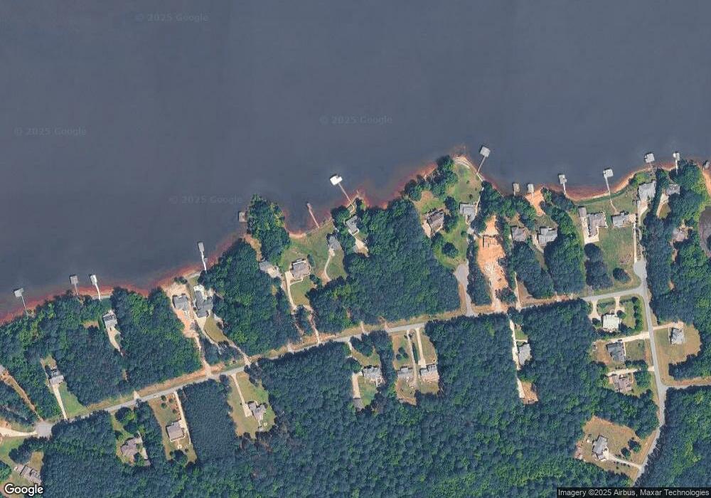
Map
Nearby Homes
- Lot 2 Edgewater Dr
- Lot 147 Knotts Ln
- Lot 13 Halyard Dr
- Lot 1 Stonegate Dr
- 260 W Wood Duck Dr
- 154 Davie Wood Dr
- 991 van Warren Rd
- 0 Eagle Crest Trail Unit 139666
- Lot 12 Canoe Creek Rd
- Lot 8 Canoe Creek Rd
- 0 Wrays Ct
- 37 Bald Eagle Dr
- 36 Bald Eagle Dr
- 34 Bald Eagle Dr
- 35 Bald Eagle Dr
- 32 Bald Eagle Dr
- 33 Bald Eagle Dr
- 31 Bald Eagle Dr
- 28 Bald Eagle Dr
- 29 Bald Eagle Dr
- 222 Windsong Rd
- 240 Windsong Rd
- 111 Lot Edgewater Sub
- 31 Anchor Ct
- 278 Windsong Rd
- 300 Windsong Rd
- 40 Anchor Ct
- 218 Windsong Dr
- Lot 63 Windsong Dr
- Lot 65 Windsong Dr
- Lot # 40 Windsong Dr
- Lot 86 A Windsong Dr
- Lot # 49 Windsong Dr
- 4142 Windsong Dr
- 85A Windsong Dr
- none Windsong Dr
- 52R Windsong Dr
- 41 Windsong Dr
- 42 Windsong Dr
- 74 R Windsong Dr