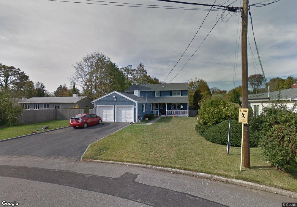
222 Woodsome Rd Babylon, NY 11702
Estimated Value: $887,672 - $1,172,000
--
Bed
--
Bath
2,911
Sq Ft
$342/Sq Ft
Est. Value
About This Home
This home is located at 222 Woodsome Rd, Babylon, NY 11702 and is currently estimated at $996,418, approximately $342 per square foot. 222 Woodsome Rd is a home located in Suffolk County with nearby schools including West Babylon Senior High School and South Bay Junior Academy.
Ownership History
Date
Name
Owned For
Owner Type
Purchase Details
Closed on
Jun 8, 2011
Sold by
Smith John K and Smith Patricia S
Bought by
Milio Michael and Milio Angela
Current Estimated Value
Home Financials for this Owner
Home Financials are based on the most recent Mortgage that was taken out on this home.
Original Mortgage
$417,000
Outstanding Balance
$287,471
Interest Rate
4.63%
Mortgage Type
Purchase Money Mortgage
Estimated Equity
$708,947
Purchase Details
Closed on
Apr 6, 1998
Sold by
Berch Julian P and Berch Joel Alice
Bought by
Smith John K and Smith Patricia S
Create a Home Valuation Report for This Property
The Home Valuation Report is an in-depth analysis detailing your home's value as well as a comparison with similar homes in the area
Home Values in the Area
Average Home Value in this Area
Purchase History
| Date | Buyer | Sale Price | Title Company |
|---|---|---|---|
| Milio Michael | $560,000 | -- | |
| Smith John K | $216,000 | National Attorneys Title Ins |
Source: Public Records
Mortgage History
| Date | Status | Borrower | Loan Amount |
|---|---|---|---|
| Open | Milio Michael | $417,000 |
Source: Public Records
Tax History Compared to Growth
Tax History
| Year | Tax Paid | Tax Assessment Tax Assessment Total Assessment is a certain percentage of the fair market value that is determined by local assessors to be the total taxable value of land and additions on the property. | Land | Improvement |
|---|---|---|---|---|
| 2024 | $19,317 | $5,440 | $660 | $4,780 |
| 2023 | $16,863 | $5,440 | $660 | $4,780 |
| 2022 | $14,436 | $5,440 | $660 | $4,780 |
| 2021 | $14,436 | $5,440 | $660 | $4,780 |
| 2020 | $17,120 | $5,440 | $660 | $4,780 |
| 2019 | $17,077 | $0 | $0 | $0 |
| 2018 | $14,275 | $5,440 | $660 | $4,780 |
| 2017 | $14,275 | $5,440 | $660 | $4,780 |
| 2016 | $14,250 | $5,440 | $660 | $4,780 |
| 2015 | -- | $5,440 | $660 | $4,780 |
| 2014 | -- | $5,440 | $660 | $4,780 |
Source: Public Records
Map
Nearby Homes
- 10 Hidden Harbor Dr
- 10 Stuart Ave
- 28 Deeringwood Ln
- 19 Gamecock Ln
- 124 Mayhew Ave
- 45 Mc Cue Ln
- 8 Regent St
- 35 Lee Ave
- 2 Ross Rd
- 47 E Jackson Ave
- 15 E Shore Dr
- 29 S Bay Dr
- 66 Cedar Ln
- 16 Lucinda Dr
- 57-61 E Shore Dr
- 51 Kingsland Place
- 87 E Shore Dr
- 437 Little East Neck Rd S
- 90 Thompson Ave
- 22 Bradish Ln
- 215 Little East Neck Rd S
- 220 Woodsome Rd
- 217 Little East Neck Rd S
- 218 Woodsome Rd
- 27 Harbour Rd
- 198 Little East Neck Rd S
- 4 Westbridge Dr
- 26 Harbour Rd
- 22 Deerfield Ct
- 25 Harbour Rd
- 221 Woodsome Rd
- 10 Westbridge Dr
- 216 Woodsome Rd
- 190 Little East Neck Rd S
- 190 Little E Neck Rd S
- 20 Deerfield Ct
- 14 Westbridge Dr
- 23 Harbour Rd
- 214 Woodsome Rd
- 15 Westbridge Dr