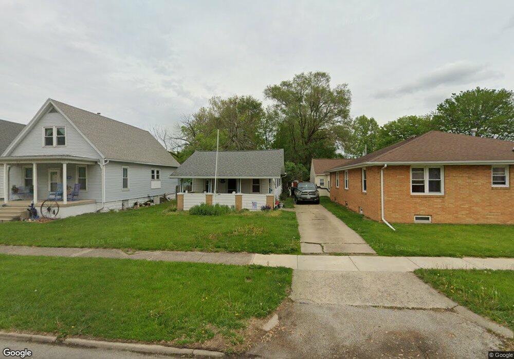
222 Wyatt Ave Lincoln, IL 62656
Estimated Value: $66,591 - $113,000
--
Bed
--
Bath
726
Sq Ft
$112/Sq Ft
Est. Value
About This Home
This home is located at 222 Wyatt Ave, Lincoln, IL 62656 and is currently estimated at $81,148, approximately $111 per square foot. 222 Wyatt Ave is a home located in Logan County with nearby schools including Washington-Monroe Elementary School, Lincoln Junior High School, and Lincoln Community High School.
Ownership History
Date
Name
Owned For
Owner Type
Purchase Details
Closed on
May 7, 2021
Sold by
Johnson Janet L
Bought by
Johnson Aaron S and Tabor Amy S
Current Estimated Value
Purchase Details
Closed on
Feb 2, 2016
Sold by
Johnson Janet
Bought by
Johnson Janet and Duggins Delyn
Purchase Details
Closed on
Dec 14, 2015
Sold by
Johnson Janet
Bought by
Johnson Marvin P and Johnson Janet L
Create a Home Valuation Report for This Property
The Home Valuation Report is an in-depth analysis detailing your home's value as well as a comparison with similar homes in the area
Home Values in the Area
Average Home Value in this Area
Purchase History
| Date | Buyer | Sale Price | Title Company |
|---|---|---|---|
| Johnson Aaron S | -- | None Available | |
| Johnson Janet | -- | -- | |
| Johnson Marvin P | -- | -- | |
| Johnson Janet | $11,500 | -- |
Source: Public Records
Tax History Compared to Growth
Tax History
| Year | Tax Paid | Tax Assessment Tax Assessment Total Assessment is a certain percentage of the fair market value that is determined by local assessors to be the total taxable value of land and additions on the property. | Land | Improvement |
|---|---|---|---|---|
| 2024 | $1,095 | $11,940 | $3,920 | $8,020 |
| 2023 | $1,046 | $11,060 | $3,630 | $7,430 |
| 2022 | $1,019 | $10,330 | $3,390 | $6,940 |
| 2021 | $981 | $9,910 | $3,250 | $6,660 |
| 2020 | $968 | $9,760 | $3,200 | $6,560 |
| 2019 | $948 | $9,570 | $3,140 | $6,430 |
| 2018 | $940 | $9,380 | $3,080 | $6,300 |
| 2017 | $935 | $9,380 | $3,080 | $6,300 |
| 2016 | $911 | $9,370 | $3,080 | $6,290 |
| 2015 | $1,353 | $13,850 | $3,090 | $10,760 |
| 2014 | $1,353 | $13,850 | $3,090 | $10,760 |
| 2013 | $1,353 | $13,140 | $2,930 | $10,210 |
| 2012 | $1,353 | $13,370 | $2,980 | $10,390 |
Source: Public Records
Map
Nearby Homes
- 419 Decatur St
- 402 Wyatt Ave
- 418 Wyatt Ave
- 521 Decatur St
- 410 S Chicago St
- 617 Decatur St
- 716 S Kickapoo St
- 311 S Logan St
- 515 S Maple St Unit 517
- 113 N Kickapoo St
- 502 Williamette Ave
- 225 4th St
- 802 Bryan Ave
- 928 Broadway St
- 228 4th St
- 1025 Broadway St
- 402 3rd St
- 1121 Broadway St
- 403 S Elm St
- 413 S Elm St
- 222 Wyatt Ave
- 419 S Mclean St
- 218 Wyatt Ave
- 216 Wyatt Ave
- 224 Wyatt Ave
- 323 Decatur St
- 327 Decatur St
- 329 Decatur St
- 418 S Kickapoo St
- 414 S Kickapoo St
- 422 S Kickapoo St
- 422 S Kickapoo St Unit 424 S Kickapoo Stree
- 418 S Mclean St
- 414 S Mclean St
- 424 S Kickapoo St
- 403 Decatur St
- 320 Wyatt Ave
- 407 Decatur St
- 303 Wyatt Ave
- 415 S Kickapoo St