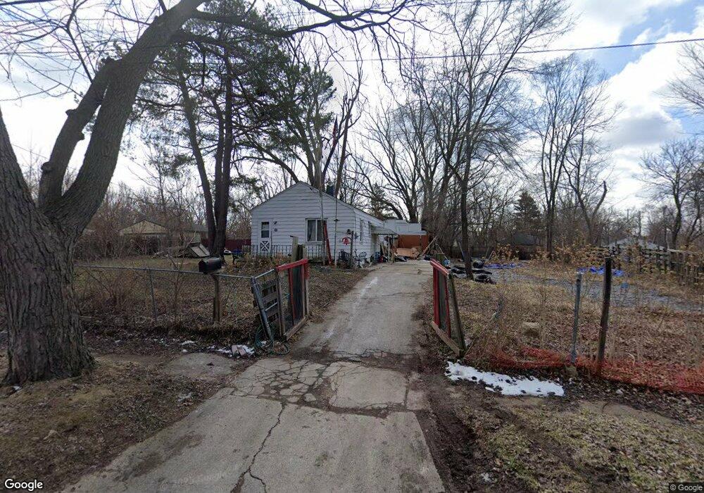
2220 Bennett Ave Flint, MI 48506
Eastside NeighborhoodEstimated Value: $24,000 - $44,000
2
Beds
1
Bath
700
Sq Ft
$50/Sq Ft
Est. Value
About This Home
This home is located at 2220 Bennett Ave, Flint, MI 48506 and is currently estimated at $35,195, approximately $50 per square foot. 2220 Bennett Ave is a home located in Genesee County with nearby schools including Potter School, Flint Cultural Center Academy, and Richfield Public School Academy.
Ownership History
Date
Name
Owned For
Owner Type
Purchase Details
Closed on
Feb 1, 2019
Sold by
Genesee County Land Bank Authority
Bought by
Villarreal Jose Luis
Current Estimated Value
Purchase Details
Closed on
Feb 5, 2018
Sold by
The Genesee County Land Bank Authority
Bought by
Villarreal Jose Luis
Purchase Details
Closed on
Dec 20, 2017
Sold by
Cherry Deborah L and Genesee County Treasurer
Bought by
Genesee County Land Bank Authority
Purchase Details
Closed on
Nov 12, 2001
Sold by
Dowling Loretta
Bought by
Luis Jose and Villarreal Julia
Create a Home Valuation Report for This Property
The Home Valuation Report is an in-depth analysis detailing your home's value as well as a comparison with similar homes in the area
Home Values in the Area
Average Home Value in this Area
Purchase History
| Date | Buyer | Sale Price | Title Company |
|---|---|---|---|
| Villarreal Jose Luis | $2,500 | None Available | |
| Villarreal Jose Luis | $2,500 | None Available | |
| Genesee County Land Bank Authority | -- | None Available | |
| Luis Jose | -- | -- |
Source: Public Records
Mortgage History
| Date | Status | Borrower | Loan Amount |
|---|---|---|---|
| Closed | Villarreal Jose Luis | $0 |
Source: Public Records
Tax History
| Year | Tax Paid | Tax Assessment Tax Assessment Total Assessment is a certain percentage of the fair market value that is determined by local assessors to be the total taxable value of land and additions on the property. | Land | Improvement |
|---|---|---|---|---|
| 2025 | $615 | $10,200 | $0 | $0 |
| 2024 | $570 | $9,500 | $0 | $0 |
| 2023 | $568 | $8,300 | $0 | $0 |
| 2022 | $0 | $6,700 | $0 | $0 |
| 2021 | $581 | $6,400 | $0 | $0 |
| 2020 | $538 | $5,700 | $0 | $0 |
| 2019 | $533 | $5,600 | $0 | $0 |
| 2018 | $221 | $0 | $0 | $0 |
| 2017 | $480 | $0 | $0 | $0 |
| 2016 | $490 | $0 | $0 | $0 |
| 2015 | -- | $0 | $0 | $0 |
| 2014 | -- | $0 | $0 | $0 |
| 2012 | -- | $7,200 | $0 | $0 |
Source: Public Records
Map
Nearby Homes
- 2426 Broadway Blvd
- 2321 Levern St
- 2211 Torrance St
- 2506 Arlington Ave
- 2426 Hoff St
- 1805 Bennett Ave
- 1622 Arlington Ave
- 2601 Illinois Ave
- 2217 Maryland Ave
- 1721 New York Ave
- 1501 Arlington Ave
- 2415 Pennsylvania Ave
- 2433 Pennsylvania Ave
- 2301 Missouri Ave
- 2613 Pennsylvania Ave
- 1629 New York Ave
- 1724 Ohio Ave
- 2610 Pennsylvania Ave
- 2302 Missouri Ave
- 1318 Cronk Ave
- 2216 Bennett Ave
- 2304 Bennett Ave
- 2212 Bennett Ave
- 2308 Bennett Ave
- 2217 Amos Dr
- 2213 Amos Dr
- 2312 Bennett Ave
- 2128 N Vernon Ave
- 2132 N Vernon Ave
- 2221 Amos Dr
- 2114 N Vernon Ave
- 2120 N Vernon Ave
- 2305 Bennett Ave
- 2205 Burns St
- 2316 Bennett Ave
- 2301 Broadway Blvd
- 2200 N Vernon Ave
- 2320 Bennett Ave
- 2309 Bennett Ave
- 2204 N Vernon Ave
Your Personal Tour Guide
Ask me questions while you tour the home.