2220 Burr Ct Unit 1 Buford, GA 30518
Estimated Value: $381,571 - $413,000
4
Beds
3
Baths
1,755
Sq Ft
$223/Sq Ft
Est. Value
About This Home
This home is located at 2220 Burr Ct Unit 1, Buford, GA 30518 and is currently estimated at $390,643, approximately $222 per square foot. 2220 Burr Ct Unit 1 is a home located in Gwinnett County with nearby schools including White Oak Elementary School, Lanier Middle School, and Lanier High School.
Ownership History
Date
Name
Owned For
Owner Type
Purchase Details
Closed on
Jun 22, 2021
Sold by
Purohit Inc
Bought by
Buford Nalleys Llc
Current Estimated Value
Purchase Details
Closed on
Aug 22, 2000
Sold by
Fitts & Associates Inc
Bought by
Sanders Terry
Home Financials for this Owner
Home Financials are based on the most recent Mortgage that was taken out on this home.
Original Mortgage
$124,847
Interest Rate
8.07%
Mortgage Type
FHA
Create a Home Valuation Report for This Property
The Home Valuation Report is an in-depth analysis detailing your home's value as well as a comparison with similar homes in the area
Home Values in the Area
Average Home Value in this Area
Purchase History
| Date | Buyer | Sale Price | Title Company |
|---|---|---|---|
| Buford Nalleys Llc | $550,000 | -- | |
| Sanders Terry | $125,900 | -- |
Source: Public Records
Mortgage History
| Date | Status | Borrower | Loan Amount |
|---|---|---|---|
| Previous Owner | Sanders Terry | $124,847 |
Source: Public Records
Tax History Compared to Growth
Tax History
| Year | Tax Paid | Tax Assessment Tax Assessment Total Assessment is a certain percentage of the fair market value that is determined by local assessors to be the total taxable value of land and additions on the property. | Land | Improvement |
|---|---|---|---|---|
| 2025 | $3,823 | $149,920 | $34,000 | $115,920 |
| 2024 | $3,733 | $139,040 | $30,800 | $108,240 |
| 2023 | $3,733 | $139,040 | $30,800 | $108,240 |
| 2022 | $3,193 | $114,640 | $24,000 | $90,640 |
| 2021 | $2,684 | $88,280 | $19,200 | $69,080 |
| 2020 | $2,503 | $79,000 | $16,000 | $63,000 |
| 2019 | $2,443 | $79,000 | $16,000 | $63,000 |
| 2018 | $2,404 | $77,320 | $16,000 | $61,320 |
| 2016 | $2,169 | $65,400 | $13,600 | $51,800 |
| 2015 | $1,823 | $48,880 | $9,800 | $39,080 |
| 2014 | $1,831 | $48,880 | $9,800 | $39,080 |
Source: Public Records
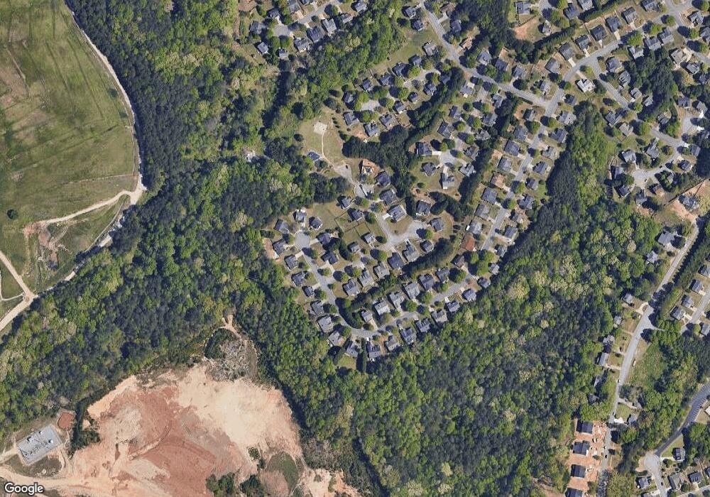
Map
Nearby Homes
- 1770 Patrick Mill Place
- 2243 Bedstone Dr Unit 2
- 5552 Little Mill Rd
- 1920 Patrick Mill Place
- 5774 Harbor Dr
- 1983 Anchor Way Unit 1
- 900 Melody Ridge Ln
- 2090 Mina Lane Dr
- 5600 Creek Dale Way
- 5601 Creek Dale Way
- 1810 Primrose Park Rd
- 1640 Primrose Park Rd
- 5820 Elm Tree Dr Unit 1
- 2030 Buford Dam Rd
- 1647 Shire Village Dr
- 5347 Blossom Brook Dr
- 5237 Blossom Brook Dr
- 1530 Avalon Creek Rd
- 1930 Marina Way
- 1488 Willow Grove Rd
- 2230 Burr Ct
- 1620 Patrick Mill Place
- 1620 Patrick Mill Place NE
- 5686 Grindstone Dr
- 1610 Patrick Mill Place
- 1600 Patrick Mill Place
- 2215 Burr Ct Unit 1
- 2225 Burr Ct Unit 1
- 5696 Grindstone Dr
- 2205 Burr Ct
- 2235 Burr Ct Unit 1
- 5677 Grindstone Dr
- 1590 Patrick Mill Place NE
- 2245 Burr Ct
- 1590 Patrick Mill Place
- 5687 Grindstone Dr
- 1635 Patrick Mill Place NE
- 1625 Patrick Mill Place Unit 1
- 1615 Patrick Mill Place Unit 1
- 1635 Patrick Mill Place