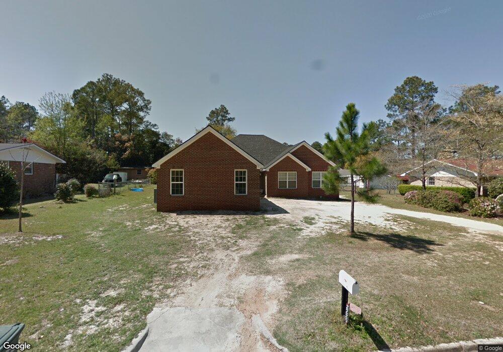
2220 Goff St Tifton, GA 31794
Estimated Value: $226,000 - $290,924
4
Beds
2
Baths
1,896
Sq Ft
$133/Sq Ft
Est. Value
About This Home
This home is located at 2220 Goff St, Tifton, GA 31794 and is currently estimated at $251,981, approximately $132 per square foot. 2220 Goff St is a home located in Tift County with nearby schools including Northside Primary School, Charles Spencer Elementary School, and J.T. Reddick School.
Ownership History
Date
Name
Owned For
Owner Type
Purchase Details
Closed on
Oct 10, 2002
Sold by
Kastberg Signe E
Bought by
Becton Hayward and Becton Cynthia
Current Estimated Value
Purchase Details
Closed on
May 17, 1993
Sold by
Fresh Thomas E
Bought by
Kastberg Signe E
Purchase Details
Closed on
Feb 12, 1993
Sold by
Hickman Bruce and Hickman Kate
Bought by
Fresh Thomas E
Purchase Details
Closed on
Sep 7, 1983
Sold by
Crinion Anne C and Mugg Grace C
Bought by
Hickman Bruce and Hickman Kate
Create a Home Valuation Report for This Property
The Home Valuation Report is an in-depth analysis detailing your home's value as well as a comparison with similar homes in the area
Home Values in the Area
Average Home Value in this Area
Purchase History
| Date | Buyer | Sale Price | Title Company |
|---|---|---|---|
| Becton Hayward | $83,000 | -- | |
| Kastberg Signe E | $58,500 | -- | |
| Fresh Thomas E | $48,000 | -- | |
| Hickman Bruce | $47,500 | -- |
Source: Public Records
Tax History Compared to Growth
Tax History
| Year | Tax Paid | Tax Assessment Tax Assessment Total Assessment is a certain percentage of the fair market value that is determined by local assessors to be the total taxable value of land and additions on the property. | Land | Improvement |
|---|---|---|---|---|
| 2024 | $3,080 | $118,096 | $8,160 | $109,936 |
| 2023 | $3,278 | $65,658 | $4,800 | $60,858 |
| 2022 | $2,322 | $65,658 | $4,800 | $60,858 |
| 2021 | $2,336 | $65,658 | $4,800 | $60,858 |
| 2020 | $2,023 | $56,124 | $4,800 | $51,324 |
| 2019 | $2,024 | $56,124 | $4,800 | $51,324 |
| 2018 | $2,025 | $56,124 | $4,800 | $51,324 |
| 2017 | $2,079 | $56,124 | $4,800 | $51,324 |
| 2016 | $1,695 | $56,124 | $4,800 | $51,324 |
| 2015 | $2,025 | $54,635 | $4,800 | $49,835 |
| 2014 | $2,028 | $54,635 | $4,800 | $49,835 |
| 2013 | -- | $53,290 | $4,800 | $48,490 |
Source: Public Records
Map
Nearby Homes
- 2612 Goff St
- 2417 Belmont Ave
- 2021 Davis Ave
- 0 Old Ocilla Rd Unit 138781
- 0 Old Ocilla Rd Unit 10611000
- 2020 Davis Ave
- -0- Old Ocilla Rd
- 2411 Davis Ave
- 705 20th St E
- 1809 Davis Ave
- 502 20th St E
- 903 42nd St E
- 1137 Oquinn Dr
- 0 Belflower Rd Unit 25624433
- 0 Belflower Rd Unit 139026
- 0 Belflower Rd Unit 24022932
- 0 Belflower Rd Unit 138547
- 0 Belflower Rd Unit 10554704
- 2214 Love Ave
- 0 44th St E
- 2214 Goff St
- 2224 Goff St
- 2213 Meadowbrook Dr
- 2209 Meadowbrook Dr
- 2210 Goff St
- 2217 Goff St
- 2217 Meadowbrook Dr
- 2205 Meadowbrook Dr
- 2221 Goff St
- 2215 Goff St
- 2228 Goff St
- 2225 Goff St
- 2209 Goff St
- 2206 Goff St
- 2221 Meadowbrook Dr
- 2202 Meadowbrook Dr
- 2201 Meadowbrook Dr
- 2205 Goff St
- 2206 Meadowbrook Dr
- 2218 Madison Ave