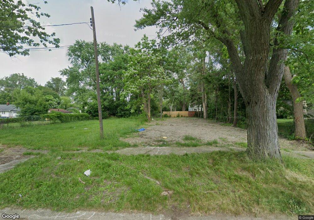
2220 Hoff St Flint, MI 48506
Eastside NeighborhoodEstimated Value: $20,000 - $48,000
1
Bed
1
Bath
494
Sq Ft
$69/Sq Ft
Est. Value
About This Home
This home is located at 2220 Hoff St, Flint, MI 48506 and is currently estimated at $34,000, approximately $68 per square foot. 2220 Hoff St is a home located in Genesee County with nearby schools including Potter School, Richfield Public School Academy, and Flint Cultural Center Academy.
Ownership History
Date
Name
Owned For
Owner Type
Purchase Details
Closed on
Dec 22, 2014
Sold by
Genesee County Treasurer
Bought by
Genesee County Land Bank
Current Estimated Value
Purchase Details
Closed on
Jul 12, 2011
Sold by
Fannie Mae
Bought by
Cook Shannon T
Purchase Details
Closed on
Dec 15, 2010
Sold by
Hall Anne and Nationstar Mortgage Llc
Bought by
The Federal National Mortgage Associatio
Purchase Details
Closed on
May 7, 2004
Sold by
Long Dale Lee
Bought by
Hall Anne
Purchase Details
Closed on
May 5, 2004
Sold by
Mccrorey Glenna G and Mccrorey Donald L
Bought by
Long Dale Lee
Create a Home Valuation Report for This Property
The Home Valuation Report is an in-depth analysis detailing your home's value as well as a comparison with similar homes in the area
Home Values in the Area
Average Home Value in this Area
Purchase History
| Date | Buyer | Sale Price | Title Company |
|---|---|---|---|
| Genesee County Land Bank | -- | None Available | |
| Cook Shannon T | $1,350 | Etitle Agency Inc | |
| The Federal National Mortgage Associatio | $15,653 | None Available | |
| Hall Anne | $21,000 | Stewart Title Guaranty Compa | |
| Long Dale Lee | $18,900 | -- |
Source: Public Records
Tax History Compared to Growth
Tax History
| Year | Tax Paid | Tax Assessment Tax Assessment Total Assessment is a certain percentage of the fair market value that is determined by local assessors to be the total taxable value of land and additions on the property. | Land | Improvement |
|---|---|---|---|---|
| 2025 | -- | $0 | $0 | $0 |
| 2024 | -- | $0 | $0 | $0 |
| 2023 | -- | $0 | $0 | $0 |
| 2022 | $0 | $0 | $0 | $0 |
| 2021 | $0 | $0 | $0 | $0 |
| 2020 | $0 | $0 | $0 | $0 |
| 2019 | $0 | $0 | $0 | $0 |
| 2018 | $0 | $0 | $0 | $0 |
| 2017 | $0 | $0 | $0 | $0 |
| 2016 | $0 | $0 | $0 | $0 |
| 2015 | -- | $0 | $0 | $0 |
| 2014 | -- | $0 | $0 | $0 |
| 2012 | -- | $5,700 | $0 | $0 |
Source: Public Records
Map
Nearby Homes
- 2211 Torrance St
- 2426 Hoff St
- 2225 Arlington Ave
- 2506 Arlington Ave
- 1622 Arlington Ave
- 1510 N Vernon Ave
- 3116 Beechwood Ave
- 1814 Mabel Ave
- 2719 Branch Rd
- 2610 Pennsylvania Ave
- 1805 Bennett Ave
- 3149 Whittier Ave
- 1501 Arlington Ave
- 2301 Missouri Ave
- 2426 Missouri Ave
- 3205 Holly Ave
- 3220 Woodrow Ave
- 1721 New York Ave
- 2605 Nebraska Ave
- 3232 Dale Ave
- 2224 Hoff St
- 2212 Hoff St
- 2217 Torrance Ave
- 2301 Torrance Ave
- 2211 Torrance Ave
- 2225 Hoff St
- 2309 Torrance Ave
- 2601 Bennett Ave Unit Bldg-Unit
- 2601 Bennett Ave
- 2207 Torrance Ave
- 2217 Hoff St
- 2213 Hoff St
- 2614 Woodrow Ave
- 2229 Hoff St
- 2519 Bennett Ave
- 2310 Hoff St
- 2201 Torrance Ave
- 2618 Woodrow Ave
- 2622 Woodrow Ave
- 2237 Hoff St
