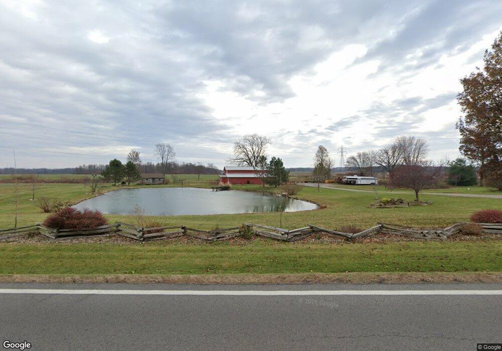
2220 State Route 314 Shelby, OH 44875
Estimated Value: $202,088 - $258,000
2
Beds
2
Baths
1,150
Sq Ft
$201/Sq Ft
Est. Value
About This Home
This home is located at 2220 State Route 314, Shelby, OH 44875 and is currently estimated at $231,272, approximately $201 per square foot. 2220 State Route 314 is a home located in Richland County.
Ownership History
Date
Name
Owned For
Owner Type
Purchase Details
Closed on
Nov 8, 2019
Sold by
Rothhaar Aaron and Rothhaar Michelle
Bought by
Rothhaar Aaron and Rothhaar Michelle
Current Estimated Value
Home Financials for this Owner
Home Financials are based on the most recent Mortgage that was taken out on this home.
Original Mortgage
$90,458
Outstanding Balance
$41,727
Interest Rate
3.65%
Mortgage Type
New Conventional
Estimated Equity
$189,545
Purchase Details
Closed on
Aug 24, 1998
Sold by
Putnam Donald E
Bought by
Rothhaar Aaron and Rothhaar Michelle
Home Financials for this Owner
Home Financials are based on the most recent Mortgage that was taken out on this home.
Original Mortgage
$89,000
Interest Rate
9.9%
Mortgage Type
New Conventional
Purchase Details
Closed on
Jun 3, 1993
Sold by
Furr Frederick R
Bought by
Furr Frederick R
Purchase Details
Closed on
Oct 30, 1992
Sold by
Furr Frederick R Subj Life
Bought by
Furr Frederick R
Create a Home Valuation Report for This Property
The Home Valuation Report is an in-depth analysis detailing your home's value as well as a comparison with similar homes in the area
Home Values in the Area
Average Home Value in this Area
Purchase History
| Date | Buyer | Sale Price | Title Company |
|---|---|---|---|
| Rothhaar Aaron | -- | Southern Title | |
| Rothhaar Aaron | $89,000 | -- | |
| Furr Frederick R | $50,000 | -- | |
| Furr Frederick R | -- | -- |
Source: Public Records
Mortgage History
| Date | Status | Borrower | Loan Amount |
|---|---|---|---|
| Open | Rothhaar Aaron | $90,458 | |
| Closed | Rothhaar Aaron | $89,000 |
Source: Public Records
Tax History Compared to Growth
Tax History
| Year | Tax Paid | Tax Assessment Tax Assessment Total Assessment is a certain percentage of the fair market value that is determined by local assessors to be the total taxable value of land and additions on the property. | Land | Improvement |
|---|---|---|---|---|
| 2024 | $1,797 | $47,670 | $16,180 | $31,490 |
| 2023 | $1,797 | $47,670 | $16,180 | $31,490 |
| 2022 | $1,696 | $39,890 | $14,840 | $25,050 |
| 2021 | $1,697 | $39,890 | $14,840 | $25,050 |
| 2020 | $1,698 | $39,890 | $14,840 | $25,050 |
| 2019 | $1,603 | $34,760 | $12,740 | $22,020 |
| 2018 | $1,587 | $34,760 | $12,740 | $22,020 |
| 2017 | $1,535 | $34,760 | $12,740 | $22,020 |
| 2016 | $1,497 | $33,430 | $11,340 | $22,090 |
| 2015 | $1,489 | $33,430 | $11,340 | $22,090 |
| 2014 | $1,437 | $33,430 | $11,340 | $22,090 |
| 2012 | $737 | $34,460 | $11,690 | $22,770 |
Source: Public Records
Map
Nearby Homes
- 1689 Ohio 314
- 1689 State Route 314
- 1671 State Route 314 N
- 4465 Beam Rd
- 0 Rock Rd
- 1970 Rock Rd
- 4825 Lincoln Hwy
- 3400 Rock Rd
- 832 State Route 314 N
- 2696 Walker Lake Rd
- 1085 Lewis Rd
- 671 Bendle Ave
- 3596 Ohio 39
- 1114 Bogey Dr Unit 1114
- 5263 Lincoln Hwy
- 3763 State Route 39
- 3768 State Route 39
- 5446 Lincoln Hwy
- 5450 Lincoln Hwy
- 3389 Wareham Rd
- 2100 State Route 314
- 2032 State Route 314
- 2066 State Route 314
- 2205 State Route 314
- 2205 State Route 314
- 0 St Rt 314 Unit 600921
- 0 St Rt 314 Unit 606270
- 0 St Rt 314 Unit 606263
- 0 St Rt 314 Unit 601484
- 0 St Rt 314 Unit 9006031
- 0 St Rt 314 Unit 9012265
- 0 St Rt 314 Unit 9014363
- 0 St Rt 314 Unit 9017041
- 0 St Rt 314 Unit 9017525
- 0 St Rt 314 Unit 9017874
- 0 St Rt 314 Unit 9023924
- 0 St Rt 314 Unit 9024170
- 0 St Rt 314 Unit 9026614
- 0 St Rt 314 Unit 9030707
- 0 St Rt 314 Unit 9032822