2220 Stirling Bridge Rd Cumming, GA 30041
Estimated Value: $1,157,274 - $1,201,000
6
Beds
5
Baths
3,688
Sq Ft
$320/Sq Ft
Est. Value
About This Home
This home is located at 2220 Stirling Bridge Rd, Cumming, GA 30041 and is currently estimated at $1,180,569, approximately $320 per square foot. 2220 Stirling Bridge Rd is a home with nearby schools including Haw Creek Elementary School, Lakeside Middle School, and South Forsyth High School.
Ownership History
Date
Name
Owned For
Owner Type
Purchase Details
Closed on
May 27, 2011
Sold by
Kukkamalla Ravi K
Bought by
Kukkamalla Ravi K and Kukkamalla Dhanyasri M
Current Estimated Value
Home Financials for this Owner
Home Financials are based on the most recent Mortgage that was taken out on this home.
Original Mortgage
$385,020
Outstanding Balance
$262,288
Interest Rate
4.38%
Mortgage Type
New Conventional
Estimated Equity
$918,281
Create a Home Valuation Report for This Property
The Home Valuation Report is an in-depth analysis detailing your home's value as well as a comparison with similar homes in the area
Home Values in the Area
Average Home Value in this Area
Purchase History
| Date | Buyer | Sale Price | Title Company |
|---|---|---|---|
| Kukkamalla Ravi K | -- | -- | |
| Kukkamalla Ravi K | $427,800 | -- |
Source: Public Records
Mortgage History
| Date | Status | Borrower | Loan Amount |
|---|---|---|---|
| Open | Kukkamalla Ravi K | $385,020 |
Source: Public Records
Tax History Compared to Growth
Tax History
| Year | Tax Paid | Tax Assessment Tax Assessment Total Assessment is a certain percentage of the fair market value that is determined by local assessors to be the total taxable value of land and additions on the property. | Land | Improvement |
|---|---|---|---|---|
| 2025 | $8,345 | $393,468 | $86,768 | $306,700 |
| 2024 | $8,345 | $340,320 | $42,240 | $298,080 |
| 2023 | $7,769 | $315,644 | $42,240 | $273,404 |
| 2022 | $6,918 | $227,956 | $42,240 | $185,716 |
| 2021 | $6,295 | $227,956 | $42,240 | $185,716 |
| 2020 | $6,014 | $217,780 | $42,240 | $175,540 |
| 2019 | $5,977 | $216,124 | $42,240 | $173,884 |
| 2018 | $6,226 | $225,144 | $42,240 | $182,904 |
| 2017 | $5,690 | $205,028 | $42,240 | $162,788 |
| 2016 | $5,858 | $211,068 | $42,240 | $168,828 |
| 2015 | $5,568 | $200,268 | $42,240 | $158,028 |
| 2014 | -- | $183,508 | $0 | $0 |
Source: Public Records
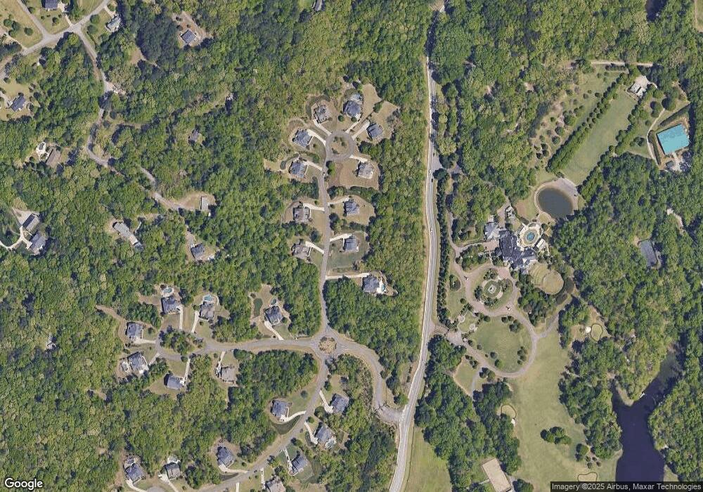
Map
Nearby Homes
- 2216 Trammel Rd
- 1920 Daves Creek Trail
- 1650 Berryhill Rd
- 5050 Paravicini Place
- 2410 Overpass
- Manchester Plan at The Glade
- Belville Plan at The Glade
- Milton Plan at The Glade
- 4321 Lanier Ridge Walk
- 4321 Lanier Ridge Walk Unit 1704
- 4179 Lanier Ridge Walk
- 2625 Blackstock Dr
- 2640 Blackstock Dr
- 4140 Lanier Ridge Walk Unit 104
- 4275 Habersham Way
- 1420 Sassafras Ln
- 1530 Horseshoe Creek Ln
- 2115 Vistoria Dr
- 2045 Glen Gate Ct
- 2220 Stirling Bridge Rd
- 0 Stirling Bridge Rd Unit 8611357
- 0 Stirling Bridge Rd Unit 8531501
- 0 Stirling Bridge Rd Unit 8408549
- 0 Stirling Bridge Rd Unit 8344094
- 0 Stirling Bridge Rd Unit 8363147
- 0 Stirling Bridge Rd Unit 8208022
- 0 Stirling Bridge Rd Unit 7528747
- 0 Stirling Bridge Rd Unit 7459323
- 0 Stirling Bridge Rd Unit 7171016
- 2240 Stirling Bridge Rd
- 2175 Stirling Bridge Rd
- 2210 Stirling Bridge Rd
- 2235 Stirling Bridge Rd
- 2260 Stirling Bridge Rd
- 2255 Stirling Bridge Rd
- 2310 Elan Rd
- 2310 Elan Ln
- 2280 Stirling Bridge Rd
- 2275 Stirling Bridge Rd