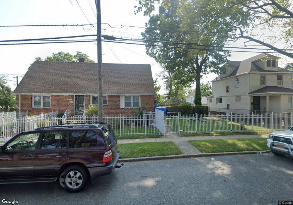
22204 133rd Ave Springfield Gardens, NY 11413
Laurelton NeighborhoodEstimated Value: $625,000 - $770,000
--
Bed
--
Bath
1,508
Sq Ft
$473/Sq Ft
Est. Value
About This Home
This home is located at 22204 133rd Ave, Springfield Gardens, NY 11413 and is currently estimated at $713,658, approximately $473 per square foot. 22204 133rd Ave is a home located in Queens County with nearby schools including P.S. 132 - Ralph Bunche, Is 59 Springfield Gardens, and Merrick Academy Charter School.
Ownership History
Date
Name
Owned For
Owner Type
Purchase Details
Closed on
Oct 7, 2021
Sold by
Perry Guy Edward
Bought by
Brown Nidia
Current Estimated Value
Home Financials for this Owner
Home Financials are based on the most recent Mortgage that was taken out on this home.
Original Mortgage
$300,000
Outstanding Balance
$273,572
Interest Rate
2.8%
Mortgage Type
Purchase Money Mortgage
Estimated Equity
$440,086
Purchase Details
Closed on
Jul 3, 2021
Sold by
Perry Guy E
Bought by
Perry Guy E
Purchase Details
Closed on
Oct 2, 2018
Sold by
Fredericks Dorothea
Bought by
Fredericks Dorothea and Perry Guy E
Create a Home Valuation Report for This Property
The Home Valuation Report is an in-depth analysis detailing your home's value as well as a comparison with similar homes in the area
Home Values in the Area
Average Home Value in this Area
Purchase History
| Date | Buyer | Sale Price | Title Company |
|---|---|---|---|
| Brown Nidia | $570,000 | -- | |
| Brown Nidia | $570,000 | -- | |
| Perry Guy E | -- | -- | |
| Perry Guy E | -- | -- | |
| Fredericks Dorothea | -- | -- | |
| Fredericks Dorothea | -- | -- |
Source: Public Records
Mortgage History
| Date | Status | Borrower | Loan Amount |
|---|---|---|---|
| Open | Brown Nidia | $300,000 | |
| Closed | Brown Nidia | $300,000 |
Source: Public Records
Tax History Compared to Growth
Tax History
| Year | Tax Paid | Tax Assessment Tax Assessment Total Assessment is a certain percentage of the fair market value that is determined by local assessors to be the total taxable value of land and additions on the property. | Land | Improvement |
|---|---|---|---|---|
| 2025 | $5,935 | $31,321 | $9,296 | $22,025 |
| 2024 | $4,971 | $29,549 | $10,432 | $19,117 |
| 2023 | $5,935 | $29,549 | $9,931 | $19,618 |
| 2022 | $5,855 | $36,600 | $12,180 | $24,420 |
| 2021 | $5,527 | $33,660 | $12,180 | $21,480 |
| 2020 | $5,229 | $30,300 | $12,180 | $18,120 |
| 2019 | $4,858 | $30,840 | $12,180 | $18,660 |
Source: Public Records
Map
Nearby Homes
- 131-35 222nd St
- 133-15 220th St
- 134-15 221st St
- 220-27 134th Rd
- 133-23 225th St
- 22126 134th Rd
- 131-20 224th St
- 220-24 134th Rd
- 133-22 226th St
- 223-12 134th Rd
- 22310 131st Ave
- 218-36 133rd Rd
- 131-41 226th St Unit 60
- 13512 223rd St
- 13062 225th St
- 22111 136th Ave
- 130-55 222nd St
- 130-45 220th St
- 21924 130th Dr
- 130-43 224th St
- 222-04 133rd Ave
- 22206 133rd Ave
- 13311 222nd St
- 22210 133rd Ave
- 22118 133rd Ave
- 133-24 222nd St
- 13315 222nd St
- 22214 133rd Ave
- 22114 133rd Ave
- 222-05 133rd Ave
- 13312 222nd St
- 13312 223rd St
- 13319 222nd St
- 22201 133rd Ave
- 22218 133rd Ave
- 13316 223rd St
- 22205 133rd Ave
- 13316 222nd St
- 22209 133rd Ave
- 22110 133rd Ave