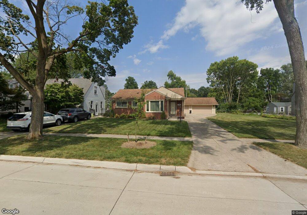
22204 Nowlin St Dearborn, MI 48124
Ford Homes Historic District NeighborhoodEstimated Value: $272,000 - $416,000
3
Beds
2
Baths
1,280
Sq Ft
$251/Sq Ft
Est. Value
About This Home
This home is located at 22204 Nowlin St, Dearborn, MI 48124 and is currently estimated at $321,861, approximately $251 per square foot. 22204 Nowlin St is a home located in Wayne County with nearby schools including Duvall Elementary School, Smith Middle School, and Edsel Ford High School.
Ownership History
Date
Name
Owned For
Owner Type
Purchase Details
Closed on
May 7, 2010
Sold by
Mitchell Dale H and Mitchell Deborah Kay
Bought by
Oliver Joanne E
Current Estimated Value
Purchase Details
Closed on
Dec 2, 2008
Sold by
Cloutier Virginia and Cloutier Patrick
Bought by
Mitchell Dale H
Home Financials for this Owner
Home Financials are based on the most recent Mortgage that was taken out on this home.
Original Mortgage
$181,827
Interest Rate
6.3%
Mortgage Type
VA
Create a Home Valuation Report for This Property
The Home Valuation Report is an in-depth analysis detailing your home's value as well as a comparison with similar homes in the area
Home Values in the Area
Average Home Value in this Area
Purchase History
| Date | Buyer | Sale Price | Title Company |
|---|---|---|---|
| Oliver Joanne E | $129,900 | None Available | |
| Mitchell Dale H | $178,000 | None Available |
Source: Public Records
Mortgage History
| Date | Status | Borrower | Loan Amount |
|---|---|---|---|
| Previous Owner | Mitchell Dale H | $181,827 |
Source: Public Records
Tax History Compared to Growth
Tax History
| Year | Tax Paid | Tax Assessment Tax Assessment Total Assessment is a certain percentage of the fair market value that is determined by local assessors to be the total taxable value of land and additions on the property. | Land | Improvement |
|---|---|---|---|---|
| 2025 | $3,899 | $149,500 | $0 | $0 |
| 2024 | $3,899 | $113,000 | $0 | $0 |
| 2023 | $3,690 | $133,200 | $0 | $0 |
| 2022 | $4,152 | $103,100 | $0 | $0 |
| 2021 | $4,825 | $103,100 | $0 | $0 |
| 2019 | $4,776 | $88,200 | $0 | $0 |
| 2018 | $4,046 | $79,600 | $0 | $0 |
| 2017 | $1,161 | $76,000 | $0 | $0 |
| 2016 | $3,785 | $74,000 | $0 | $0 |
| 2015 | $7,153 | $73,900 | $0 | $0 |
| 2013 | $6,970 | $69,700 | $0 | $0 |
| 2011 | -- | $73,350 | $0 | $0 |
Source: Public Records
Map
Nearby Homes
- 22151 Olmstead St
- 22306 Nowlin St
- 22200 Gregory St
- 22406 Nowlin St
- 20761 Outer Dr
- 2721 Pardee Ave
- 21725 Nowlin St
- 22101 Francis St
- 22223 Military St
- 22205 Columbia St
- 22740 Cleveland St
- 22350 Military St
- 21353 Donaldson St
- 21514 Francis St
- 22949 Cleveland St
- 22448 Nona St
- 21230 Audette St
- 23323 Park St
- 3101 Roosevelt St
- 3004 Lincoln St
- 22160 Nowlin St
- 22212 Nowlin St
- 22222 Nowlin St
- 22150 Nowlin St
- 22219 Olmstead St
- 22231 Olmstead St
- 22234 Nowlin St
- 22241 Olmstead St
- 22211 Olmstead St Unit Bldg-Unit
- 22211 Olmstead St
- 22140 Nowlin St
- 22201 Nowlin St
- 22171 Nowlin St Unit Bldg-Unit
- 22171 Nowlin St
- 22251 Olmstead St
- 22211 Nowlin St
- 22201 Olmstead St
- 22161 Nowlin St
- 22155 Nowlin St
- 22219 Nowlin St