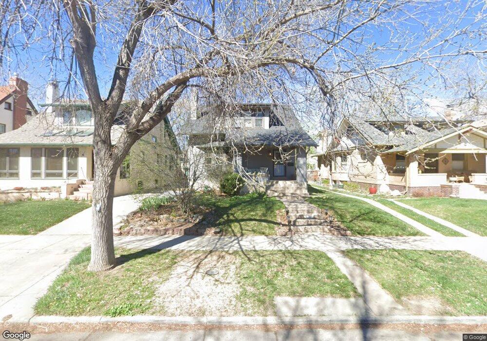
2221 Forest St Denver, CO 80207
South Park Hill NeighborhoodEstimated Value: $919,553 - $1,192,000
4
Beds
2
Baths
2,794
Sq Ft
$384/Sq Ft
Est. Value
About This Home
This home is located at 2221 Forest St, Denver, CO 80207 and is currently estimated at $1,072,138, approximately $383 per square foot. 2221 Forest St is a home located in Denver County with nearby schools including Park Hill Elementary, William (Bill) Roberts ECE-8 School, and McAuliffe International School.
Ownership History
Date
Name
Owned For
Owner Type
Purchase Details
Closed on
Jan 7, 2016
Sold by
Ricardo John Paul and Ricardo Sarah Ann Ross Austin
Bought by
Dresser Diana
Current Estimated Value
Purchase Details
Closed on
Jan 22, 2013
Sold by
Norris Stephen C and Norris Jacquelyn L
Bought by
Ricardo John Paul and Ricardo Sarah Ann Ross Austin
Home Financials for this Owner
Home Financials are based on the most recent Mortgage that was taken out on this home.
Original Mortgage
$394,250
Interest Rate
3.33%
Mortgage Type
New Conventional
Create a Home Valuation Report for This Property
The Home Valuation Report is an in-depth analysis detailing your home's value as well as a comparison with similar homes in the area
Home Values in the Area
Average Home Value in this Area
Purchase History
| Date | Buyer | Sale Price | Title Company |
|---|---|---|---|
| Dresser Diana | $530,000 | Equity Title | |
| Ricardo John Paul | $415,000 | None Available |
Source: Public Records
Mortgage History
| Date | Status | Borrower | Loan Amount |
|---|---|---|---|
| Previous Owner | Ricardo John Paul | $394,250 |
Source: Public Records
Tax History
| Year | Tax Paid | Tax Assessment Tax Assessment Total Assessment is a certain percentage of the fair market value that is determined by local assessors to be the total taxable value of land and additions on the property. | Land | Improvement |
|---|---|---|---|---|
| 2025 | $4,858 | $64,220 | $30,650 | $30,650 |
| 2024 | $4,858 | $61,340 | $25,450 | $35,890 |
| 2023 | $4,753 | $61,340 | $25,450 | $35,890 |
| 2022 | $3,776 | $47,480 | $27,040 | $20,440 |
| 2021 | $3,645 | $48,850 | $27,820 | $21,030 |
| 2020 | $3,353 | $45,190 | $27,820 | $17,370 |
| 2019 | $3,259 | $45,190 | $27,820 | $17,370 |
| 2018 | $3,199 | $41,350 | $16,480 | $24,870 |
| 2017 | $3,189 | $41,350 | $16,480 | $24,870 |
| 2016 | $3,456 | $42,380 | $17,305 | $25,075 |
| 2015 | $3,311 | $42,380 | $17,305 | $25,075 |
| 2014 | $2,814 | $33,880 | $7,291 | $26,589 |
Source: Public Records
Map
Nearby Homes
- 2289 N Glencoe St
- 2086 Grape St
- 2025 Eudora St
- 2514 Forest St
- 2065 Holly St
- 2244 Holly St
- 1911 Grape St
- 2541 Elm St
- 1944 Hudson St
- 2230 N Cherry St
- 4535 E Montview Blvd
- 1750 Hudson St
- 1936 Ivanhoe St
- 1150-60 N Dahlia St
- 1160 N Dahlia St
- 2057 Clermont St
- 4621 E 17th Avenue Pkwy
- 2634 Ivanhoe St
- 2645 Cherry St
- 2870 Forest St
- 2217 Forest St
- 2225 Forest St
- 2209 Forest St
- 2243 Forest St
- 2205 Forest St
- 5123 E 22nd Ave
- 2247 Forest St
- 2230 Fairfax St
- 2224 Fairfax St
- 2212 Fairfax St
- 2242 Fairfax St
- 2208 Fairfax St
- 2222 Forest St
- 2212 Forest St
- 2251 Forest St
- 2224 Forest St
- 2208 Forest St
- 2204 Fairfax St
- 2254 Fairfax St
- 2200 Forest St
Your Personal Tour Guide
Ask me questions while you tour the home.